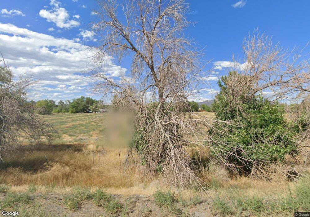
50 Canal Dr Fernley, NV 89408
Estimated Value: $451,202 - $1,823,000
3
Beds
2
Baths
1,584
Sq Ft
$905/Sq Ft
Est. Value
About This Home
This home is located at 50 Canal Dr, Fernley, NV 89408 and is currently estimated at $1,434,051, approximately $905 per square foot. 50 Canal Dr is a home located in Lyon County with nearby schools including Fernley Elementary School, Fernley Intermediate School, and Fernley High School.
Ownership History
Date
Name
Owned For
Owner Type
Purchase Details
Closed on
Mar 11, 2008
Sold by
Frossard Randolph and Frossard Janice
Bought by
Frossard Randolph L and Frossard Janice F
Current Estimated Value
Purchase Details
Closed on
Mar 26, 2007
Sold by
Frossard Bruce Allen
Bought by
Frossard Bruce A and Frossard Catherine
Purchase Details
Closed on
Oct 25, 2006
Sold by
Frossard Randolph
Bought by
Frossard Randolph and Frossard Janice Fox
Purchase Details
Closed on
Jul 8, 2006
Sold by
Frossard John R and Frossard Mabel R
Bought by
Frossard Paul David and Frossard Randolph
Create a Home Valuation Report for This Property
The Home Valuation Report is an in-depth analysis detailing your home's value as well as a comparison with similar homes in the area
Home Values in the Area
Average Home Value in this Area
Purchase History
| Date | Buyer | Sale Price | Title Company |
|---|---|---|---|
| Frossard Randolph L | -- | None Available | |
| Frossard Bruce A | -- | None Available | |
| Frossard Randolph | -- | None Available | |
| Frossard Paul David | -- | None Available |
Source: Public Records
Tax History Compared to Growth
Tax History
| Year | Tax Paid | Tax Assessment Tax Assessment Total Assessment is a certain percentage of the fair market value that is determined by local assessors to be the total taxable value of land and additions on the property. | Land | Improvement |
|---|---|---|---|---|
| 2025 | $3,243 | $79,245 | $51,275 | $27,970 |
| 2024 | $3,989 | $78,520 | $51,275 | $27,245 |
| 2023 | $3,989 | $76,897 | $51,275 | $25,622 |
| 2022 | $3,768 | $73,421 | $51,275 | $22,146 |
| 2021 | $3,752 | $72,638 | $51,275 | $21,363 |
| 2020 | $3,236 | $71,575 | $51,280 | $20,295 |
| 2019 | $3,620 | $68,968 | $51,280 | $17,688 |
| 2018 | $3,550 | $68,264 | $51,280 | $16,984 |
| 2017 | $3,549 | $68,881 | $51,280 | $17,601 |
| 2016 | $3,192 | $52,178 | $36,150 | $16,028 |
| 2015 | $3,258 | $51,179 | $36,150 | $15,029 |
| 2014 | $3,205 | $50,847 | $36,150 | $14,697 |
Source: Public Records
Map
Nearby Homes
- 960 Curtis Place
- 950 Miller Ln
- 200 Circle Dr
- 180 Circle Dr
- 210 Circle Dr
- 190 Sage St
- 940 Curtis Place
- 220 Circle Dr
- 130 Sage St
- 130 Sage St Unit 15
- 175 Circle Unit 175 and 177
- 175 Circle
- 936 Curtis Place
- 185 Circle Dr
- 195 Circle Dr
- 235/245 Cottonwood Ln
- 230 Circle Dr
- 245 Cottonwood Ln
- 290 Elm St
- 725 Sage Dr
