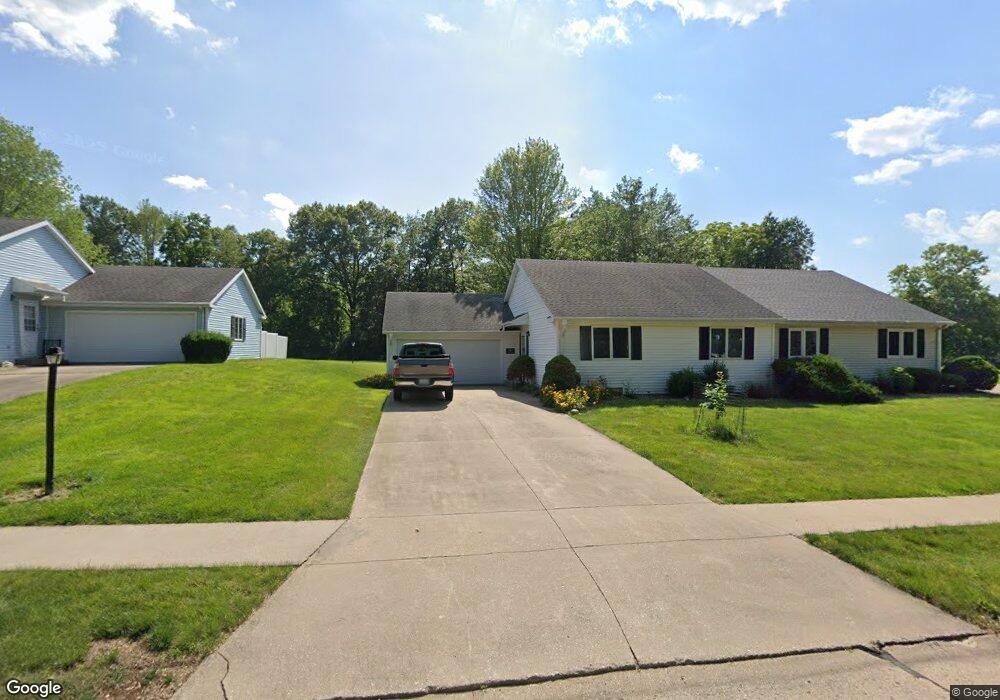
50 Charleston Dr Macomb, IL 61455
Estimated Value: $110,000
2
Beds
--
Bath
1,064
Sq Ft
$103/Sq Ft
Est. Value
About This Home
This home is located at 50 Charleston Dr, Macomb, IL 61455 and is currently priced at $110,000, approximately $103 per square foot. 50 Charleston Dr is a home located in McDonough County with nearby schools including Lincoln Elementary School, Edison Elementary School, and Macomb Junior High School.
Ownership History
Date
Name
Owned For
Owner Type
Purchase Details
Closed on
Dec 27, 2022
Sold by
Curtis Gene A and Curtis Joanne M
Bought by
Curtis Nicholas J
Current Estimated Value
Purchase Details
Closed on
Jan 26, 2009
Sold by
Curtis Gene A and Curtis Joanne M
Bought by
Curtis Gene A and Curtis Joanne M
Purchase Details
Closed on
Jun 29, 2007
Sold by
Strohecker Donald R
Bought by
Curtis Gene A and Curtis Joanne M
Home Financials for this Owner
Home Financials are based on the most recent Mortgage that was taken out on this home.
Original Mortgage
$111,600
Interest Rate
6.42%
Mortgage Type
Purchase Money Mortgage
Purchase Details
Closed on
Mar 28, 2006
Sold by
Stroehecker Martha Mitchell
Bought by
Strohecker Donald R
Create a Home Valuation Report for This Property
The Home Valuation Report is an in-depth analysis detailing your home's value as well as a comparison with similar homes in the area
Home Values in the Area
Average Home Value in this Area
Purchase History
| Date | Buyer | Sale Price | Title Company |
|---|---|---|---|
| Curtis Nicholas J | -- | None Listed On Document | |
| Curtis Gene A | -- | None Available | |
| Curtis Gene A | $124,000 | None Available | |
| Strohecker Donald R | -- | None Available |
Source: Public Records
Mortgage History
| Date | Status | Borrower | Loan Amount |
|---|---|---|---|
| Previous Owner | Curtis Gene A | $111,600 |
Source: Public Records
Tax History Compared to Growth
Tax History
| Year | Tax Paid | Tax Assessment Tax Assessment Total Assessment is a certain percentage of the fair market value that is determined by local assessors to be the total taxable value of land and additions on the property. | Land | Improvement |
|---|---|---|---|---|
| 2023 | $3,452 | $39,576 | $2,486 | $37,090 |
| 2022 | $3,113 | $37,453 | $2,353 | $35,100 |
| 2021 | $2,949 | $36,715 | $2,307 | $34,408 |
| 2020 | $2,892 | $38,442 | $2,273 | $36,169 |
| 2019 | $2,832 | $36,169 | $2,273 | $33,896 |
| 2018 | $2,764 | $36,667 | $2,304 | $34,363 |
| 2017 | $2,711 | $36,667 | $2,304 | $34,363 |
| 2016 | $3,152 | $42,383 | $2,277 | $40,106 |
| 2015 | $3,143 | $41,922 | $2,252 | $39,670 |
| 2014 | $2,774 | $39,875 | $1,361 | $38,514 |
| 2013 | $2,642 | $37,618 | $1,284 | $36,334 |
Source: Public Records
Map
Nearby Homes
- 260 Jamestown Rd
- 40 N Yorktown Rd
- 105 Arlington Dr
- 130 Arlington Dr
- 45 N Yorktown Rd
- 130 S Yorktown Rd
- 90 Carriage Hill
- 100 S Quail Walk Rd
- 206 Meadow Dr
- 524 Meadow Dr
- 3010 W Jackson St
- 2001 W Jackson St Unit C
- 11250 E 900th St
- 3 Rye Ct
- 21 Armstrong Ct
- 1925 Riverview Dr
- 1713 W Adams Rd
- 1500 W Adams Rd
- 1613 W Adams Rd
- 1707 Riverview Dr
- 60 Charleston Dr
- 40 Charleston Dr
- 30 Charleston Dr
- 35 Charleston Dr
- 25 Charleston Dr
- 45 Charleston Dr
- 20 Charleston Dr
- 15 Charleston Dr
- 10 Charleston Dr
- 10 Arlington Dr
- 20 Arlington Dr
- 145 Jamestown Rd
- 155 Jamestown Rd
- 30 Arlington Dr
- 165 Jamestown Rd
- 40 Arlington Dr
- 175 Jamestown Rd
- 185 Jamestown Rd
- 5 Arlington Dr
- 195 Jamestown Rd