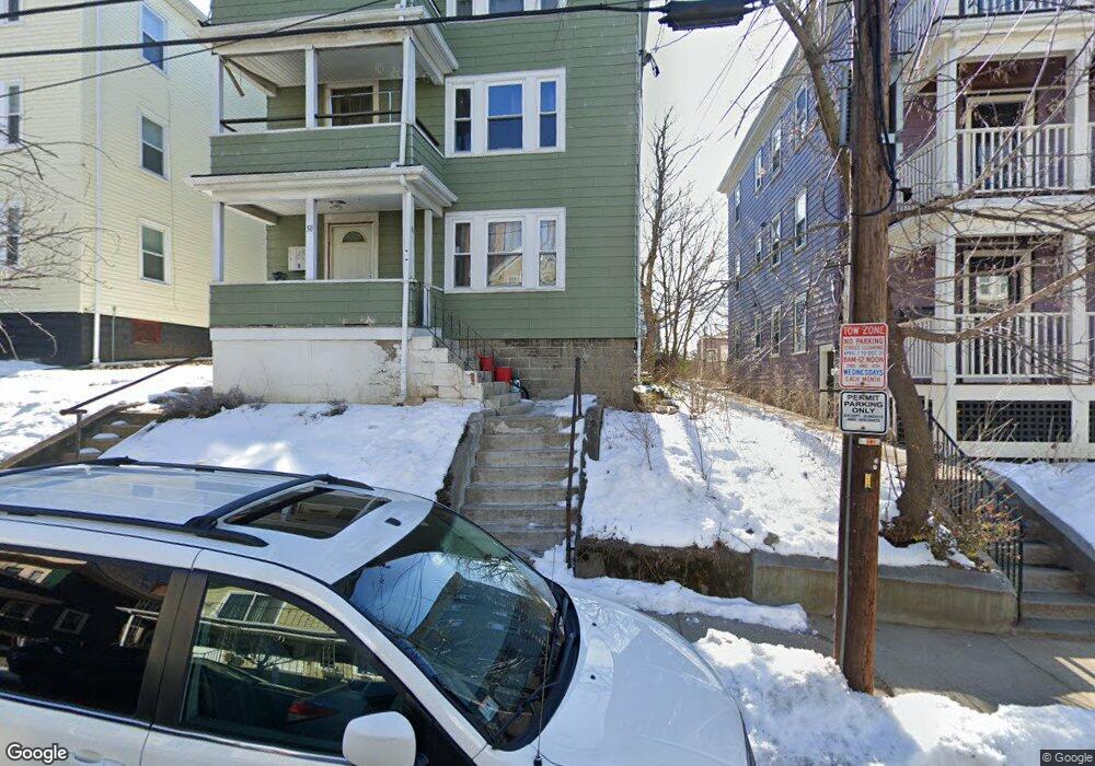
50 Clarendon Ave Somerville, MA 02144
Teele Square NeighborhoodEstimated Value: $1,172,000 - $1,636,000
6
Beds
3
Baths
3,375
Sq Ft
$424/Sq Ft
Est. Value
About This Home
This home is located at 50 Clarendon Ave, Somerville, MA 02144 and is currently estimated at $1,432,667, approximately $424 per square foot. 50 Clarendon Ave is a home located in Middlesex County with nearby schools including Somerville High School, Benjamin Banneker Charter Public School, and International School of Boston.
Ownership History
Date
Name
Owned For
Owner Type
Purchase Details
Closed on
Sep 7, 1994
Sold by
Troville Hilda F
Bought by
Miller Clinton N
Current Estimated Value
Home Financials for this Owner
Home Financials are based on the most recent Mortgage that was taken out on this home.
Original Mortgage
$180,000
Interest Rate
8.54%
Mortgage Type
Purchase Money Mortgage
Create a Home Valuation Report for This Property
The Home Valuation Report is an in-depth analysis detailing your home's value as well as a comparison with similar homes in the area
Home Values in the Area
Average Home Value in this Area
Purchase History
| Date | Buyer | Sale Price | Title Company |
|---|---|---|---|
| Miller Clinton N | $150,000 | -- |
Source: Public Records
Mortgage History
| Date | Status | Borrower | Loan Amount |
|---|---|---|---|
| Open | Miller Clinton N | $85,000 | |
| Closed | Miller Clinton N | $65,000 | |
| Open | Miller Clinton N | $240,000 | |
| Closed | Miller Clinton N | $180,000 |
Source: Public Records
Tax History
| Year | Tax Paid | Tax Assessment Tax Assessment Total Assessment is a certain percentage of the fair market value that is determined by local assessors to be the total taxable value of land and additions on the property. | Land | Improvement |
|---|---|---|---|---|
| 2025 | $15,539 | $1,424,300 | $634,000 | $790,300 |
| 2024 | $14,620 | $1,389,700 | $634,000 | $755,700 |
| 2023 | $14,281 | $1,381,100 | $634,000 | $747,100 |
| 2022 | $13,605 | $1,336,400 | $603,800 | $732,600 |
| 2021 | $13,175 | $1,292,900 | $586,200 | $706,700 |
| 2020 | $13,034 | $1,291,800 | $585,100 | $706,700 |
| 2019 | $11,896 | $1,105,600 | $485,500 | $620,100 |
| 2018 | $10,277 | $908,700 | $483,800 | $424,900 |
| 2017 | $10,034 | $859,800 | $456,400 | $403,400 |
| 2016 | $9,782 | $780,700 | $431,100 | $349,600 |
| 2015 | $9,049 | $717,600 | $394,800 | $322,800 |
Source: Public Records
Map
Nearby Homes
- 30 Clarendon Ave
- 1188 Broadway Unit 403
- 2 Gold Star Ct
- 14 Farragut Ave Unit 1
- 34 Elmwood St Unit 2
- 106 Electric Ave Unit 3
- 97 Elmwood St Unit 313
- 97 Elmwood St Unit 110
- 97 Elmwood St Unit 310
- 3 Tannery Brook Row Unit 11
- 9-11 Edmunds St
- 69 Electric Ave Unit 3
- 11 Tannery Brook Row Unit 3
- 42 Packard Ave Unit 42
- 1004 Broadway Unit 3
- 38 Brookford St Unit 2
- 202 Powder House Blvd Unit 1
- 202 Powder House Blvd Unit 2
- 55 Packard Ave Unit 1
- 69 Harvey St Unit 1
- 46 Clarendon Ave
- 52 Clarendon Ave
- 52 Clarendon Ave Unit 3
- 52 Clarendon Ave Unit 2
- 44 Clarendon Ave
- 44 Clarendon Ave Unit 2
- 54 Clarendon Ave
- 54 Clarendon Ave Unit 2
- 54 Clarendon Ave Unit 3
- 41 Newbury St
- 39 Newbury St
- 60 Clarendon Ave
- 35 Newbury St
- 58 Clarendon Ave
- 45 Newbury St
- 45 Newbury St Unit 45
- 45 Newbury St
- 45 Newbury St
- 42 Clarendon Ave
- 42 Clarendon Ave Unit 3
Your Personal Tour Guide
Ask me questions while you tour the home.