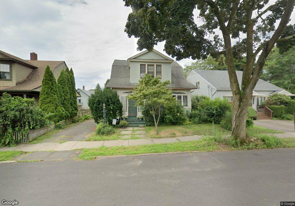
50 Clarkson St Bridgeport, CT 06605
Black Rock NeighborhoodEstimated Value: $509,628 - $625,000
3
Beds
2
Baths
1,458
Sq Ft
$404/Sq Ft
Est. Value
About This Home
This home is located at 50 Clarkson St, Bridgeport, CT 06605 and is currently estimated at $589,657, approximately $404 per square foot. 50 Clarkson St is a home located in Fairfield County with nearby schools including Holland Hill Elementary, Fairfield Ludlowe High School, and Park City Prep Charter School.
Ownership History
Date
Name
Owned For
Owner Type
Purchase Details
Closed on
Sep 11, 1987
Sold by
Smaligo Richard
Bought by
Correa Douglas
Current Estimated Value
Home Financials for this Owner
Home Financials are based on the most recent Mortgage that was taken out on this home.
Original Mortgage
$151,600
Interest Rate
10.27%
Mortgage Type
Purchase Money Mortgage
Create a Home Valuation Report for This Property
The Home Valuation Report is an in-depth analysis detailing your home's value as well as a comparison with similar homes in the area
Home Values in the Area
Average Home Value in this Area
Purchase History
| Date | Buyer | Sale Price | Title Company |
|---|---|---|---|
| Correa Douglas | $168,500 | -- |
Source: Public Records
Mortgage History
| Date | Status | Borrower | Loan Amount |
|---|---|---|---|
| Open | Correa Douglas | $181,654 | |
| Closed | Correa Douglas | $119,650 | |
| Closed | Correa Douglas | $151,600 |
Source: Public Records
Tax History Compared to Growth
Tax History
| Year | Tax Paid | Tax Assessment Tax Assessment Total Assessment is a certain percentage of the fair market value that is determined by local assessors to be the total taxable value of land and additions on the property. | Land | Improvement |
|---|---|---|---|---|
| 2025 | $9,781 | $225,120 | $156,280 | $68,840 |
| 2024 | $9,781 | $225,120 | $156,280 | $68,840 |
| 2023 | $9,781 | $225,120 | $156,280 | $68,840 |
| 2022 | $9,781 | $225,120 | $156,280 | $68,840 |
| 2021 | $9,781 | $225,120 | $156,280 | $68,840 |
| 2020 | $8,398 | $155,540 | $92,720 | $62,820 |
| 2019 | $8,398 | $155,540 | $92,720 | $62,820 |
| 2018 | $8,457 | $155,540 | $92,720 | $62,820 |
| 2017 | $8,457 | $155,540 | $92,720 | $62,820 |
| 2016 | $8,457 | $155,540 | $92,720 | $62,820 |
| 2015 | $7,538 | $178,620 | $88,320 | $90,300 |
| 2014 | $7,538 | $178,620 | $88,320 | $90,300 |
Source: Public Records
Map
Nearby Homes
- 105 Fox St Unit 107
- 39 Jetland Place Unit 41
- 165 Bennett St
- 554 Brewster St Unit 4
- 855 Brewster St Unit 857
- 75 Homestead Ave Unit 77
- 26 Rowsley St Unit 3
- 37 Rowsley St Unit 6
- 166 Alfred St
- 317 Brewster St
- 361 Riverside Dr
- 167 Scofield Ave
- 2180 Kings Hwy Unit 1
- 188 Monroe St Unit 190
- 82 Waldorf Ave
- 0 Battery Park Dr
- 135 Whittier St
- 31 Whittier St
- 25 Whittier St
- 38 Edge Hill Rd
- 42 Clarkson St
- 60 Clarkson St
- 40 Clarkson St
- 70 Clarkson St
- 674 Courtland Ave Unit 676
- 676 Courtland Ave
- 676 Courtland Ave Unit 2nd fl
- 686 Courtland Ave
- 666 Courtland Ave
- 694 Courtland Ave
- 652 Courtland Ave Unit 656
- 656 Courtland Ave
- 80 Clarkson St
- 41 Clarkson St
- 65 Clarkson St
- 704 Courtland Ave
- 29 Clarkson St
- 644 Courtland Ave Unit 646
- 75 Clarkson St
- 90 Clarkson St