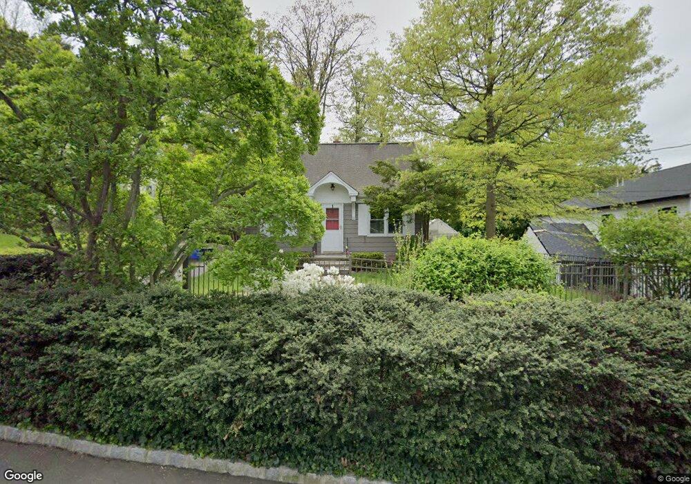
50 Crest Dr S Cresskill, NJ 07626
Estimated Value: $678,595 - $893,000
Studio
--
Bath
1,310
Sq Ft
$593/Sq Ft
Est. Value
About This Home
This home is located at 50 Crest Dr S, Cresskill, NJ 07626 and is currently estimated at $777,149, approximately $593 per square foot. 50 Crest Dr S is a home located in Bergen County with nearby schools including Cresskill High School, Spring School, and Lubavitch On The Palisades.
Ownership History
Date
Name
Owned For
Owner Type
Purchase Details
Closed on
Feb 11, 2013
Sold by
Azar Francois N and Azar Guitta K
Bought by
1St 2Nd Mortgage Co Of Nj Inc
Current Estimated Value
Purchase Details
Closed on
Aug 19, 2005
Sold by
Kegel David
Bought by
Azar Francois and Ibrahim Guitta
Home Financials for this Owner
Home Financials are based on the most recent Mortgage that was taken out on this home.
Original Mortgage
$412,640
Interest Rate
5.68%
Purchase Details
Closed on
Jul 30, 2003
Sold by
Kegel David B
Bought by
Kegel David B
Purchase Details
Closed on
Nov 15, 2000
Sold by
Turnamian Richard
Bought by
Kegel David B
Home Financials for this Owner
Home Financials are based on the most recent Mortgage that was taken out on this home.
Original Mortgage
$200,000
Interest Rate
7.71%
Create a Home Valuation Report for This Property
The Home Valuation Report is an in-depth analysis detailing your home's value as well as a comparison with similar homes in the area
Home Values in the Area
Average Home Value in this Area
Purchase History
| Date | Buyer | Sale Price | Title Company |
|---|---|---|---|
| 1St 2Nd Mortgage Co Of Nj Inc | -- | None Listed On Document | |
| Azar Francois | $515,800 | -- | |
| Kegel David B | -- | -- | |
| Kegel David B | $280,000 | -- |
Source: Public Records
Mortgage History
| Date | Status | Borrower | Loan Amount |
|---|---|---|---|
| Previous Owner | Azar Francois | $412,640 | |
| Previous Owner | Kegel David B | $200,000 |
Source: Public Records
Tax History
| Year | Tax Paid | Tax Assessment Tax Assessment Total Assessment is a certain percentage of the fair market value that is determined by local assessors to be the total taxable value of land and additions on the property. | Land | Improvement |
|---|---|---|---|---|
| 2025 | $10,897 | $494,500 | $337,900 | $156,600 |
| 2024 | $10,756 | $473,800 | $322,400 | $151,400 |
| 2023 | $10,596 | $463,400 | $315,400 | $148,000 |
| 2022 | $10,596 | $440,200 | $297,500 | $142,700 |
| 2021 | $10,442 | $427,600 | $288,500 | $139,100 |
| 2020 | $10,283 | $422,800 | $285,500 | $137,300 |
| 2019 | $10,047 | $417,400 | $282,000 | $135,400 |
| 2018 | $6,962 | $412,900 | $278,500 | $134,400 |
| 2017 | $10,014 | $367,900 | $244,500 | $123,400 |
| 2016 | $9,716 | $367,900 | $244,500 | $123,400 |
| 2015 | $9,415 | $367,900 | $244,500 | $123,400 |
| 2014 | $9,131 | $367,900 | $244,500 | $123,400 |
Source: Public Records
Map
Nearby Homes
Your Personal Tour Guide
Ask me questions while you tour the home.