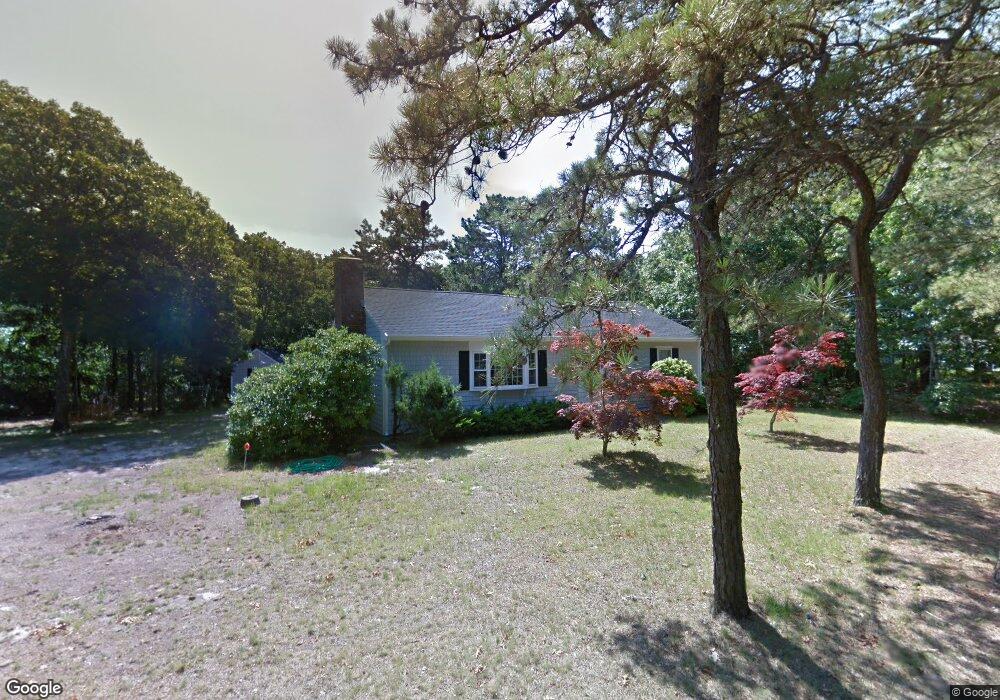
50 Crowell Rd West Yarmouth, MA 02673
West Yarmouth NeighborhoodEstimated Value: $573,000 - $902,000
3
Beds
2
Baths
1,188
Sq Ft
$600/Sq Ft
Est. Value
About This Home
This home is located at 50 Crowell Rd, West Yarmouth, MA 02673 and is currently estimated at $712,358, approximately $599 per square foot. 50 Crowell Rd is a home located in Barnstable County with nearby schools including Dennis-Yarmouth Regional High School, Sturgis Charter Public School, and St. Pius X. School.
Ownership History
Date
Name
Owned For
Owner Type
Purchase Details
Closed on
Jul 1, 1991
Sold by
Nowosielski Joseph J and Nowosielski V
Bought by
Korn David and Korn Katherine
Current Estimated Value
Home Financials for this Owner
Home Financials are based on the most recent Mortgage that was taken out on this home.
Original Mortgage
$162,000
Interest Rate
9.44%
Mortgage Type
Purchase Money Mortgage
Create a Home Valuation Report for This Property
The Home Valuation Report is an in-depth analysis detailing your home's value as well as a comparison with similar homes in the area
Home Values in the Area
Average Home Value in this Area
Purchase History
| Date | Buyer | Sale Price | Title Company |
|---|---|---|---|
| Korn David | $162,000 | -- |
Source: Public Records
Mortgage History
| Date | Status | Borrower | Loan Amount |
|---|---|---|---|
| Open | Korn David | $170,000 | |
| Closed | Korn David | $170,000 | |
| Closed | Korn David | $162,000 |
Source: Public Records
Tax History Compared to Growth
Tax History
| Year | Tax Paid | Tax Assessment Tax Assessment Total Assessment is a certain percentage of the fair market value that is determined by local assessors to be the total taxable value of land and additions on the property. | Land | Improvement |
|---|---|---|---|---|
| 2025 | $4,335 | $612,300 | $276,300 | $336,000 |
| 2024 | $4,052 | $549,100 | $240,400 | $308,700 |
| 2023 | $3,873 | $477,600 | $203,100 | $274,500 |
| 2022 | $3,672 | $400,000 | $181,400 | $218,600 |
| 2021 | $3,505 | $366,600 | $181,400 | $185,200 |
| 2020 | $3,438 | $343,800 | $178,600 | $165,200 |
| 2019 | $3,231 | $319,900 | $178,600 | $141,300 |
| 2018 | $3,184 | $309,400 | $168,100 | $141,300 |
| 2017 | $3,100 | $309,400 | $168,100 | $141,300 |
| 2016 | $3,088 | $309,400 | $168,100 | $141,300 |
| 2015 | $2,971 | $295,900 | $168,100 | $127,800 |
Source: Public Records
Map
Nearby Homes
- 16 Yacht Ave
- 21 Heritage Dr
- 32 Schooner St
- 503 Route 28 Unit 25
- 21 Schooner St
- 29 Winchester Ave
- 6 New Hampshire Ave Unit D
- 286 S Sea Ave
- 4 Columbus Ave
- 32 Wimbledon Dr
- 85 Baker Rd
- 107 Wimbledon Dr
- 54 Boxberry Ln
- 55 Pawkannawkut Dr
- 2 Candlewood Ln
- 15 Mayflower Rd
- 109 Seaview Ave Unit 11
- 15 Webster Rd
- 9 Roberta Dr
- 17 Angus Ave
- 58 Crowell Rd
- 21 Barnes Ln
- 28 Crowell Rd
- 166 Silverleaf Ln
- 47 Crowell Rd
- 22 Barnes Ln
- 168 Silverleaf Ln
- 61 Crowell Rd
- 160 Silverleaf Ln
- 39 Crowell Rd
- 174 Silverleaf Ln
- 32 Crowell Rd
- 11 Barnes Ln
- 19 Crowell Rd
- 70 Crowell Rd
- 126 Springer Ln
- 132 Springer Ln
- 165 Silverleaf Ln
- 12 Barnes Ln
- 169 Silverleaf Ln