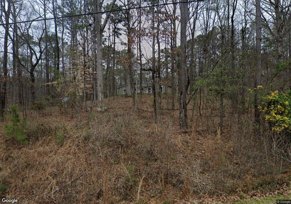
50 Daniel Dr Fortson, GA 31808
Estimated Value: $294,000 - $335,059
4
Beds
4
Baths
2,531
Sq Ft
$124/Sq Ft
Est. Value
About This Home
This home is located at 50 Daniel Dr, Fortson, GA 31808 and is currently estimated at $314,015, approximately $124 per square foot. 50 Daniel Dr is a home located in Harris County with nearby schools including New Mountain Hill Elementary School, Cogburn Woods Elementary School, and Harris County Carver Middle School.
Ownership History
Date
Name
Owned For
Owner Type
Purchase Details
Closed on
Sep 18, 2017
Sold by
Hughes David J
Bought by
Hilton Elisabeth and Hilton Anthony
Current Estimated Value
Home Financials for this Owner
Home Financials are based on the most recent Mortgage that was taken out on this home.
Original Mortgage
$196,278
Outstanding Balance
$163,774
Interest Rate
3.87%
Mortgage Type
FHA
Estimated Equity
$150,241
Purchase Details
Closed on
Jul 5, 2016
Sold by
Hughes Karolee
Bought by
Hughes David
Purchase Details
Closed on
May 19, 2000
Bought by
Hughes David J and Hughes Karole L
Create a Home Valuation Report for This Property
The Home Valuation Report is an in-depth analysis detailing your home's value as well as a comparison with similar homes in the area
Home Values in the Area
Average Home Value in this Area
Purchase History
| Date | Buyer | Sale Price | Title Company |
|---|---|---|---|
| Hilton Elisabeth | $199,900 | -- | |
| Hughes David | -- | -- | |
| Hughes David J | $138,000 | -- |
Source: Public Records
Mortgage History
| Date | Status | Borrower | Loan Amount |
|---|---|---|---|
| Open | Hilton Elisabeth | $196,278 |
Source: Public Records
Tax History Compared to Growth
Tax History
| Year | Tax Paid | Tax Assessment Tax Assessment Total Assessment is a certain percentage of the fair market value that is determined by local assessors to be the total taxable value of land and additions on the property. | Land | Improvement |
|---|---|---|---|---|
| 2024 | $2,308 | $84,928 | $16,316 | $68,612 |
| 2023 | $1,851 | $85,079 | $16,316 | $68,763 |
| 2022 | $2,246 | $82,599 | $16,316 | $66,283 |
| 2021 | $2,212 | $78,488 | $16,316 | $62,172 |
| 2020 | $2,212 | $78,488 | $16,316 | $62,172 |
| 2019 | $2,133 | $78,488 | $16,316 | $62,172 |
| 2018 | $2,283 | $78,488 | $16,316 | $62,172 |
| 2017 | $1,779 | $63,848 | $15,138 | $48,710 |
| 2016 | $1,613 | $63,154 | $15,138 | $48,016 |
| 2015 | $1,616 | $63,154 | $15,138 | $48,016 |
| 2014 | $1,619 | $63,154 | $15,138 | $48,016 |
| 2013 | -- | $63,154 | $15,138 | $48,016 |
Source: Public Records
Map
Nearby Homes
- 53 E Scotch Ct
- 104 Spruce Dr
- 2495 Fortson Rd
- 431 Quail Trail
- 249 Serenity Loop
- Lot 86 Hawkeye Trail Unit 86
- 78 Mitchell's Rest Unit 62
- 78 Mitchell's Rest
- Lot 86 Hawkeye Trail
- 1278 Jones Rd
- 921 Grey Smoke Trail
- 50 Grizzly Ct
- 1237 Smith Rd
- 3860 Essex Heights Trail
- 1159 James Rd
- 172-6 Almond Ridge Dr
- 142 Richardson Ct
- 11389 Whitesville Rd
- 4126 Holstein Hill
- 4126 Holstein Hill Unit 120