50 Devol Ave Westport, MA 02790
North Westport NeighborhoodEstimated Value: $834,123 - $1,243,000
3
Beds
3
Baths
2,808
Sq Ft
$377/Sq Ft
Est. Value
About This Home
This home is located at 50 Devol Ave, Westport, MA 02790 and is currently estimated at $1,057,281, approximately $376 per square foot. 50 Devol Ave is a home located in Bristol County with nearby schools including Alice A. Macomber Primary School, Westport Elementary School, and Westport Middle-High School.
Ownership History
Date
Name
Owned For
Owner Type
Purchase Details
Closed on
Sep 21, 2018
Sold by
Briggs Landing Llc
Bought by
Patel Tushar R and Patel Dakshabahen R
Current Estimated Value
Home Financials for this Owner
Home Financials are based on the most recent Mortgage that was taken out on this home.
Original Mortgage
$499,200
Outstanding Balance
$434,435
Interest Rate
4.5%
Mortgage Type
Unknown
Estimated Equity
$622,846
Purchase Details
Closed on
Jan 26, 2012
Sold by
Lynch John H
Bought by
Amaral Brothers Inc
Create a Home Valuation Report for This Property
The Home Valuation Report is an in-depth analysis detailing your home's value as well as a comparison with similar homes in the area
Home Values in the Area
Average Home Value in this Area
Purchase History
| Date | Buyer | Sale Price | Title Company |
|---|---|---|---|
| Patel Tushar R | $624,000 | -- | |
| Amaral Brothers Inc | $275,000 | -- |
Source: Public Records
Mortgage History
| Date | Status | Borrower | Loan Amount |
|---|---|---|---|
| Open | Patel Tushar R | $499,200 |
Source: Public Records
Tax History
| Year | Tax Paid | Tax Assessment Tax Assessment Total Assessment is a certain percentage of the fair market value that is determined by local assessors to be the total taxable value of land and additions on the property. | Land | Improvement |
|---|---|---|---|---|
| 2025 | $5,468 | $734,000 | $202,400 | $531,600 |
| 2024 | $5,413 | $700,300 | $180,800 | $519,500 |
| 2023 | $5,301 | $649,600 | $172,200 | $477,400 |
| 2022 | $4,989 | $588,300 | $165,800 | $422,500 |
| 2021 | $4,942 | $573,300 | $150,800 | $422,500 |
| 2020 | $4,735 | $561,700 | $139,200 | $422,500 |
| 2019 | $4,552 | $550,400 | $133,600 | $416,800 |
| 2018 | $3,236 | $396,100 | $119,500 | $276,600 |
| 2017 | $952 | $119,500 | $119,500 | $0 |
| 2016 | $378 | $47,800 | $47,800 | $0 |
| 2015 | $379 | $47,800 | $47,800 | $0 |
Source: Public Records
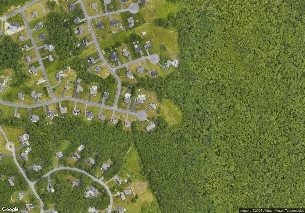
Map
Nearby Homes
- 50 Devol Ave Unit Lot 25
- 50 Devol Ave
- 48 Devol Ave
- 47 Devol Ave
- 47 Devol Ave
- 46 Devol Ave Unit Lot 27
- 46 Devol Ave Unit Lot 27
- 46 Devol Ave
- 46 Devol Ave
- 45 Devol Ave Unit Lot 23
- 45 Devol Ave
- 8 Sherman Ct Unit Lot 74
- 8 Sherman Ct Unit Lot 78
- 43 Devol Ave
- 43 Devol Ave
- 10 Sherman Ct Unit Lot 79
- 44 Devol Ave
- 44 Devol Ave Unit Lot 28
- 41 Devol Ave
- 5 Sherman Ct Unit Lot 82
Your Personal Tour Guide
Ask me questions while you tour the home.