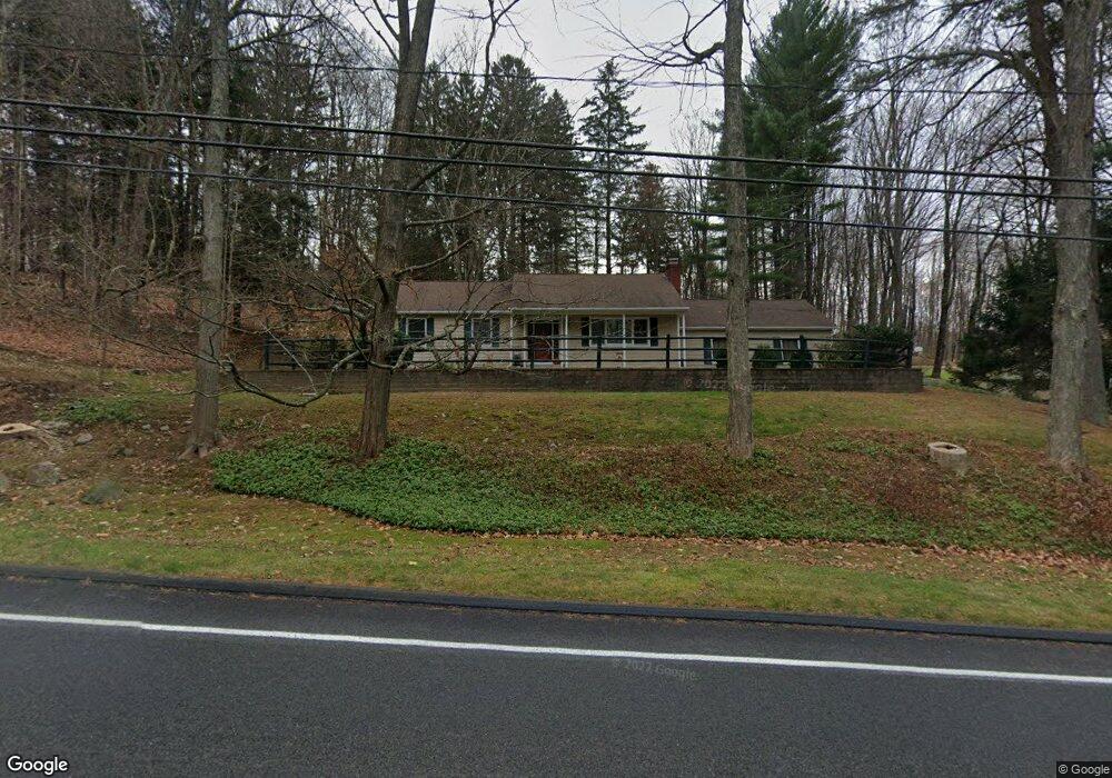
50 Dodgingtown Rd Bethel, CT 06801
Estimated Value: $488,565 - $590,000
3
Beds
2
Baths
1,490
Sq Ft
$351/Sq Ft
Est. Value
About This Home
This home is located at 50 Dodgingtown Rd, Bethel, CT 06801 and is currently estimated at $522,641, approximately $350 per square foot. 50 Dodgingtown Rd is a home located in Fairfield County with nearby schools including R.M.T. Johnson School, Bethel Middle School, and Bethel High School.
Ownership History
Date
Name
Owned For
Owner Type
Purchase Details
Closed on
Sep 3, 1996
Sold by
Corkery Leo M and Corkery Marlene
Bought by
Pratt Clifford and Pratt Patricia
Current Estimated Value
Home Financials for this Owner
Home Financials are based on the most recent Mortgage that was taken out on this home.
Original Mortgage
$143,000
Outstanding Balance
$11,274
Interest Rate
8.18%
Mortgage Type
Unknown
Estimated Equity
$511,367
Create a Home Valuation Report for This Property
The Home Valuation Report is an in-depth analysis detailing your home's value as well as a comparison with similar homes in the area
Home Values in the Area
Average Home Value in this Area
Purchase History
| Date | Buyer | Sale Price | Title Company |
|---|---|---|---|
| Pratt Clifford | $183,000 | -- |
Source: Public Records
Mortgage History
| Date | Status | Borrower | Loan Amount |
|---|---|---|---|
| Open | Pratt Clifford | $143,000 |
Source: Public Records
Tax History Compared to Growth
Tax History
| Year | Tax Paid | Tax Assessment Tax Assessment Total Assessment is a certain percentage of the fair market value that is determined by local assessors to be the total taxable value of land and additions on the property. | Land | Improvement |
|---|---|---|---|---|
| 2025 | $7,625 | $250,740 | $88,970 | $161,770 |
| 2024 | $7,314 | $250,740 | $88,970 | $161,770 |
| 2023 | $7,129 | $250,740 | $88,970 | $161,770 |
| 2022 | $6,489 | $187,600 | $88,970 | $98,630 |
| 2021 | $6,427 | $187,600 | $88,970 | $98,630 |
| 2020 | $6,330 | $187,600 | $88,970 | $98,630 |
| 2019 | $6,268 | $187,600 | $88,970 | $98,630 |
| 2018 | $6,166 | $187,600 | $88,970 | $98,630 |
| 2017 | $5,975 | $181,730 | $88,980 | $92,750 |
| 2016 | $5,846 | $181,730 | $88,980 | $92,750 |
| 2015 | $5,848 | $181,730 | $88,980 | $92,750 |
| 2014 | $5,835 | $181,730 | $88,980 | $92,750 |
Source: Public Records
Map
Nearby Homes
- 6 Windaway Rd
- 2 Honey Hollow Dr
- 25 Wolfpits Rd
- 10 Buckboard Ridge
- 62 Codfish Hill Rd
- 2 Judd Ave
- 66 Putnam Park Rd
- 4 Winthrop Rd
- 6 Katrina Cir
- 37 Whittlesey Dr
- 3 Terry Dr
- 4 Stone Dam Rd
- 113 Codfish Hill Rd
- 62 Old Hawleyville Rd
- 2 Chestnut St
- 95 Chestnut St Unit D
- 12 Eagle Rock Hill Unit 12
- 38 Aunt Pattys Ln W
- 51 Kingswood Dr
- 48 & 50 Nashville Rd
- 44 Dodgingtown Rd
- 54 Dodgingtown Rd
- 52 Dodgingtown Rd
- 4 E Brook Ct
- 46 Dodgingtown Rd
- 45 Dodgingtown Rd
- 42 Dodgingtown Rd
- 56 Dodgingtown Rd
- 2 Old Lantern Dr
- 43 Dodgingtown Rd
- 6 E Brook Ct
- 9 Windaway Rd
- 5 Windaway Rd
- 7 Windaway Rd
- 1 Windaway Rd
- 8 E Brook Ct
- 11 Windaway Rd
- 4 Old Lantern Dr
- 38 Dodgingtown Rd
- 41 Dodgingtown Rd