50 Doe Run Ln Pottstown, PA 19464
Estimated Value: $417,000 - $564,000
4
Beds
3
Baths
2,032
Sq Ft
$240/Sq Ft
Est. Value
About This Home
This home is located at 50 Doe Run Ln, Pottstown, PA 19464 and is currently estimated at $487,387, approximately $239 per square foot. 50 Doe Run Ln is a home located in Montgomery County with nearby schools including Lower Pottsgrove Elementary School, Pottsgrove Middle School, and Pottsgrove Senior High School.
Ownership History
Date
Name
Owned For
Owner Type
Purchase Details
Closed on
Jul 7, 2000
Sold by
Lower Pottsgrove Associates
Bought by
Paolucci Rock A and Paolucci Barbara A
Current Estimated Value
Create a Home Valuation Report for This Property
The Home Valuation Report is an in-depth analysis detailing your home's value as well as a comparison with similar homes in the area
Home Values in the Area
Average Home Value in this Area
Purchase History
| Date | Buyer | Sale Price | Title Company |
|---|---|---|---|
| Paolucci Rock A | $43,000 | -- |
Source: Public Records
Tax History
| Year | Tax Paid | Tax Assessment Tax Assessment Total Assessment is a certain percentage of the fair market value that is determined by local assessors to be the total taxable value of land and additions on the property. | Land | Improvement |
|---|---|---|---|---|
| 2025 | $7,929 | $161,330 | $40,390 | $120,940 |
| 2024 | $7,929 | $161,330 | $40,390 | $120,940 |
| 2023 | $7,685 | $161,330 | $40,390 | $120,940 |
| 2022 | $7,569 | $161,330 | $40,390 | $120,940 |
| 2021 | $7,420 | $161,330 | $40,390 | $120,940 |
| 2020 | $7,352 | $161,330 | $40,390 | $120,940 |
| 2019 | $7,313 | $161,330 | $40,390 | $120,940 |
Source: Public Records
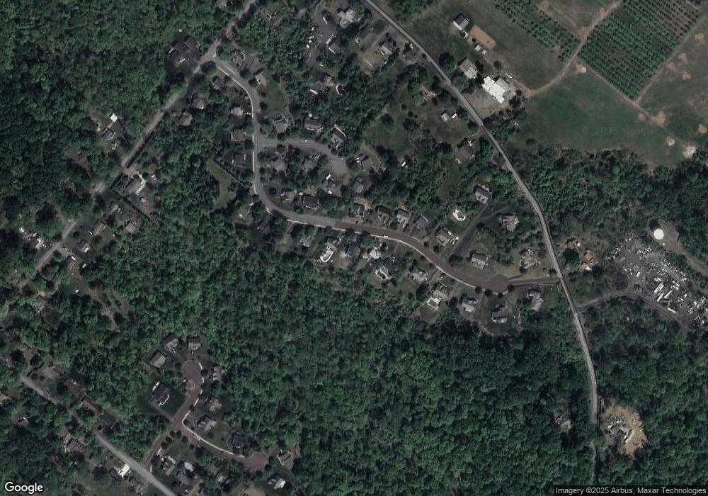
Map
Nearby Homes
- 1669 Briarwood Ln
- 2114 Yerger Rd
- 1094 Mitch Rd
- 2126 Deer Ridge Dr
- 2426 Donna Ln
- 1527 Cedar Hill Rd
- 3605 Walnut Ridge Dr
- 3106 Walnut Ridge Estate
- 3505 Walnut Ridge Estate Unit 3505
- 2105 Walnut Ridge Dr
- 2430 New Hanover Square Rd
- 45 Pebble Beach Ln
- 2126 Needhammer Rd
- 1457 Lynn Dr
- 1411 N Adams St
- 510 N Pleasantview Rd
- 1234 Woodmere Dr
- 817 Buchert Rd
- 277 N Pleasantview Rd
- 260 Hause Ave
Your Personal Tour Guide
Ask me questions while you tour the home.