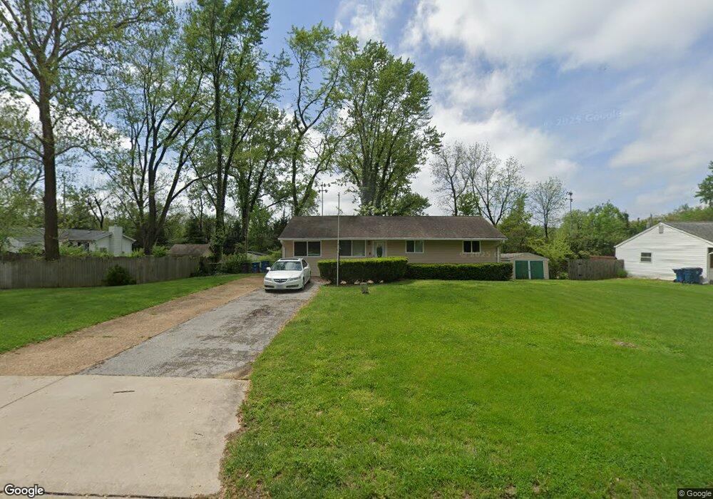
50 Downing St Maryland Heights, MO 63043
Estimated Value: $211,660 - $270,000
3
Beds
1
Bath
1,167
Sq Ft
$202/Sq Ft
Est. Value
About This Home
This home is located at 50 Downing St, Maryland Heights, MO 63043 and is currently estimated at $235,665, approximately $201 per square foot. 50 Downing St is a home located in St. Louis County with nearby schools including Parkwood Elementary, Pattonville Heights Middle School, and Pattonville High School.
Ownership History
Date
Name
Owned For
Owner Type
Purchase Details
Closed on
Sep 4, 2009
Sold by
Noble Jeannie and Davis Kari Ann
Bought by
Christensen Gary W
Current Estimated Value
Home Financials for this Owner
Home Financials are based on the most recent Mortgage that was taken out on this home.
Original Mortgage
$108,007
Outstanding Balance
$70,887
Interest Rate
5.26%
Mortgage Type
FHA
Estimated Equity
$164,778
Purchase Details
Closed on
Jan 22, 2004
Sold by
Deering Daniel Earl and Deering Beth
Bought by
Davis Kari Ann
Create a Home Valuation Report for This Property
The Home Valuation Report is an in-depth analysis detailing your home's value as well as a comparison with similar homes in the area
Home Values in the Area
Average Home Value in this Area
Purchase History
| Date | Buyer | Sale Price | Title Company |
|---|---|---|---|
| Christensen Gary W | $110,000 | None Available | |
| Davis Kari Ann | -- | -- |
Source: Public Records
Mortgage History
| Date | Status | Borrower | Loan Amount |
|---|---|---|---|
| Open | Christensen Gary W | $108,007 |
Source: Public Records
Tax History Compared to Growth
Tax History
| Year | Tax Paid | Tax Assessment Tax Assessment Total Assessment is a certain percentage of the fair market value that is determined by local assessors to be the total taxable value of land and additions on the property. | Land | Improvement |
|---|---|---|---|---|
| 2025 | $2,654 | $40,640 | $14,400 | $26,240 |
| 2024 | $2,654 | $34,680 | $11,310 | $23,370 |
| 2023 | $2,668 | $34,680 | $11,310 | $23,370 |
| 2022 | $2,340 | $27,690 | $13,400 | $14,290 |
| 2021 | $2,363 | $27,690 | $13,400 | $14,290 |
| 2020 | $1,862 | $21,930 | $11,060 | $10,870 |
| 2019 | $1,856 | $21,930 | $11,060 | $10,870 |
| 2018 | $1,655 | $17,850 | $3,900 | $13,950 |
| 2017 | $1,652 | $17,850 | $3,900 | $13,950 |
| 2016 | $2,022 | $21,570 | $7,110 | $14,460 |
| 2015 | $2,000 | $21,570 | $7,110 | $14,460 |
| 2014 | $1,734 | $18,930 | $3,250 | $15,680 |
Source: Public Records
Map
Nearby Homes
- 11328 de Runtz Ave
- 16 Midland Ave
- 3108 Edwards Place Unit 201
- 11342 de Runtz Ave
- 12597 Fee Rd
- 3114 Edwards Place Unit 304
- 3151 Fort Samuel Ct
- 19 Shumate Ave
- 3107 Garnette Dr Unit A7
- 3107 Garnette Dr Unit C12
- 11128 Fort Samuel Dr
- 3106 Carnaby Ln Unit C
- 3142 Roger Williams Dr
- 11410 Essex Ave
- 3137 Roger Williams Dr Unit C
- 3137 Roger Williams Dr Unit A
- 11502 Wylwood Dr
- 3224 Roger Williams Dr
- 3202 Denmark Dr Unit C
- 3206 Denmark Dr Unit D