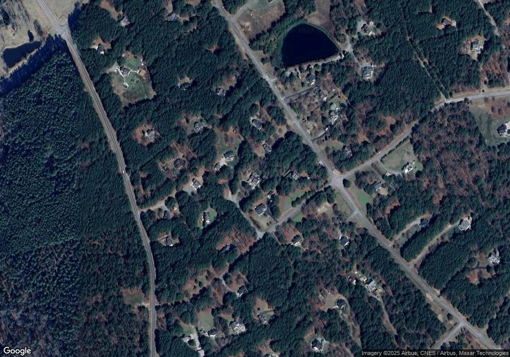
50 Dunlap Ln Pittsboro, NC 27312
Estimated Value: $613,453 - $634,000
3
Beds
4
Baths
2,792
Sq Ft
$224/Sq Ft
Est. Value
About This Home
This home is located at 50 Dunlap Ln, Pittsboro, NC 27312 and is currently estimated at $626,363, approximately $224 per square foot. 50 Dunlap Ln is a home located in Chatham County with nearby schools including Silk Hope School, Jordan Matthews High, and Haw River Christian Academy.
Ownership History
Date
Name
Owned For
Owner Type
Purchase Details
Closed on
Sep 1, 2016
Sold by
Weaver James T
Bought by
Johnson Douglas William and Johnson Judith Marie
Current Estimated Value
Home Financials for this Owner
Home Financials are based on the most recent Mortgage that was taken out on this home.
Original Mortgage
$279,632
Outstanding Balance
$223,359
Interest Rate
3.43%
Mortgage Type
VA
Estimated Equity
$403,004
Create a Home Valuation Report for This Property
The Home Valuation Report is an in-depth analysis detailing your home's value as well as a comparison with similar homes in the area
Home Values in the Area
Average Home Value in this Area
Purchase History
| Date | Buyer | Sale Price | Title Company |
|---|---|---|---|
| Johnson Douglas William | $290,000 | Attorney |
Source: Public Records
Mortgage History
| Date | Status | Borrower | Loan Amount |
|---|---|---|---|
| Open | Johnson Douglas William | $279,632 |
Source: Public Records
Tax History Compared to Growth
Tax History
| Year | Tax Paid | Tax Assessment Tax Assessment Total Assessment is a certain percentage of the fair market value that is determined by local assessors to be the total taxable value of land and additions on the property. | Land | Improvement |
|---|---|---|---|---|
| 2024 | $2,807 | $324,605 | $42,741 | $281,864 |
| 2023 | $2,807 | $324,605 | $42,741 | $281,864 |
| 2022 | $2,551 | $324,605 | $42,741 | $281,864 |
| 2021 | $2,551 | $324,605 | $42,741 | $281,864 |
| 2020 | $2,074 | $260,402 | $38,263 | $222,139 |
| 2019 | $2,074 | $260,402 | $38,263 | $222,139 |
| 2018 | $1,965 | $260,402 | $38,263 | $222,139 |
| 2017 | $1,905 | $260,402 | $38,263 | $222,139 |
| 2016 | $1,837 | $248,575 | $36,441 | $212,134 |
| 2015 | $807 | $248,575 | $36,441 | $212,134 |
| 2014 | $1,228 | $248,575 | $36,441 | $212,134 |
| 2013 | -- | $248,575 | $36,441 | $212,134 |
Source: Public Records
Map
Nearby Homes
- 169 Elsa Jane Ln
- 1684 Castle Rock Farm Rd
- 0 Henderson Tanyard Rd Unit 10112548
- 0 Henderson Tanyard Rd Unit 100522009
- 181 Emerson Cook Rd
- 2953 Silk Hope Gum Spring Rd
- 2865 Silk Hope Gum Springs Rd
- 2817 Silk Hope Gum Springs Rd
- 1474 Castle Rock Farm Rd
- 0 Goathouse Rd
- 220 Epps Clark Rd
- 14 Duck Bill Trail
- 16 Deep Creek
- 00 Bowman Bare Rd
- 57 Hazelwood Ct
- 72 Hazelwood Dr
- 97 Fox Oak Trail
- 93 Bur Oak Ct
- 123 Bur Oak Ct
- 75 Bur Oak Ct
- 207 Victoria Dr
- 56 Dunlap Ln
- 302 Poplar Forest Ln
- 332 Poplar Forest Ln
- 276 Poplar Forest Ln
- 1666 Emerson Cook Rd
- 53 Dunlap Ln
- 176 Victoria Dr
- 125 Victoria Dr
- 52 Raymond Ridge Rd
- 70 Raymond Ridge Rd
- 250 Victoria Dr
- 337 Poplar Forest Ln
- 337 Poplar Ln
- 216 Poplar Forest Ln
- 1622 Emerson Cook Rd
- 321 Poplar Forest Ln
- 390 Poplar Forest Ln
- 1586 Emerson Cook Rd
- 132 Victoria Dr
