50 Eden Rd Unit WINTER Rockport, MA 01966
Estimated Value: $2,352,490 - $2,937,000
5
Beds
3
Baths
2,596
Sq Ft
$1,018/Sq Ft
Est. Value
About This Home
This home is located at 50 Eden Rd Unit WINTER, Rockport, MA 01966 and is currently estimated at $2,642,873, approximately $1,018 per square foot. 50 Eden Rd Unit WINTER is a home located in Essex County with nearby schools including Rockport Elementary School, Rockport Middle School, and Rockport High School.
Ownership History
Date
Name
Owned For
Owner Type
Purchase Details
Closed on
Aug 28, 2025
Sold by
Marshall Alessandra S and Marshall Robert
Bought by
Alessandra S Marshall Lt and Marshall
Current Estimated Value
Purchase Details
Closed on
Jul 29, 1999
Sold by
Rowe Carol U
Bought by
Hawkins Laurence A
Create a Home Valuation Report for This Property
The Home Valuation Report is an in-depth analysis detailing your home's value as well as a comparison with similar homes in the area
Home Values in the Area
Average Home Value in this Area
Purchase History
| Date | Buyer | Sale Price | Title Company |
|---|---|---|---|
| Alessandra S Marshall Lt | -- | -- | |
| Alessandra S Marshall Lt | -- | -- | |
| Marshall Robert | $1,450,000 | -- | |
| Marshall Robert | $1,450,000 | -- | |
| Hawkins Laurence A | $250,444 | -- | |
| Hawkins Laurence A | $250,444 | -- |
Source: Public Records
Mortgage History
| Date | Status | Borrower | Loan Amount |
|---|---|---|---|
| Previous Owner | Marshall Robert | $692,000 | |
| Previous Owner | Hawkins Laurence A | $396,000 | |
| Previous Owner | Hawkins Laurence A | $413,000 |
Source: Public Records
Tax History Compared to Growth
Tax History
| Year | Tax Paid | Tax Assessment Tax Assessment Total Assessment is a certain percentage of the fair market value that is determined by local assessors to be the total taxable value of land and additions on the property. | Land | Improvement |
|---|---|---|---|---|
| 2025 | $18,793 | $2,145,300 | $1,661,200 | $484,100 |
| 2024 | $16,732 | $1,987,200 | $1,513,600 | $473,600 |
| 2023 | $15,693 | $1,664,200 | $1,261,800 | $402,400 |
| 2022 | $16,061 | $1,635,500 | $1,265,300 | $370,200 |
| 2021 | $15,148 | $1,555,200 | $1,205,100 | $350,100 |
| 2020 | $15,031 | $1,488,200 | $1,147,600 | $340,600 |
| 2019 | $14,630 | $1,483,800 | $1,153,000 | $330,800 |
| 2018 | $14,546 | $1,438,800 | $1,115,800 | $323,000 |
| 2017 | $13,401 | $1,188,000 | $910,900 | $277,100 |
| 2016 | $13,076 | $1,162,300 | $885,200 | $277,100 |
| 2015 | $13,232 | $1,202,900 | $885,200 | $317,700 |
| 2014 | $12,711 | $1,127,900 | $826,200 | $301,700 |
Source: Public Records
Map
Nearby Homes
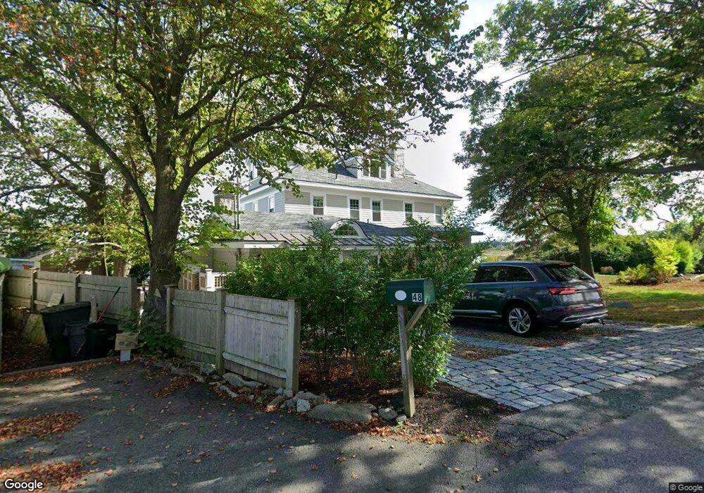
- 48 Eden Rd
- 1 Arens Rd
- 26 Marmion Way
- 12 Seagull St
- 29 Summer St
- 4 Alpaca Ct
- 6 Prospect St
- 57 Mt Pleasant St Unit 2B
- 34 Mount Pleasant St
- 5 Allen Ave
- 13 Pleasant St Unit 3
- 4 Norwood Ave
- 5 Marshall Ln
- 2 Mount Pleasant St Unit 3
- 15 High St Unit D
- 36 Broadway Ave
- 36 Broadway Ave
- 63R Main St Unit 2
- 73-77 Main St
- 135 A&B Main St