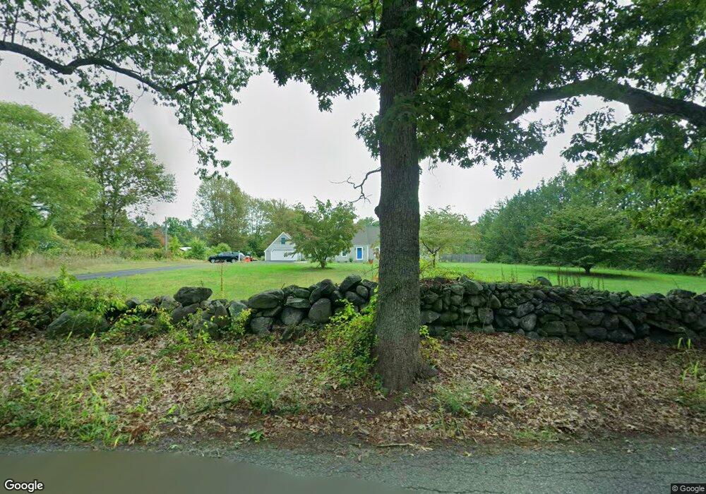
50 Forest St Dunstable, MA 01827
Estimated Value: $790,367 - $1,017,000
3
Beds
3
Baths
2,691
Sq Ft
$334/Sq Ft
Est. Value
About This Home
This home is located at 50 Forest St, Dunstable, MA 01827 and is currently estimated at $899,342, approximately $334 per square foot. 50 Forest St is a home located in Middlesex County with nearby schools including Groton Dunstable Regional High School, World Academy, and Academy of Notre Dame - Upper School.
Ownership History
Date
Name
Owned For
Owner Type
Purchase Details
Closed on
Jul 29, 1994
Sold by
Gillette David S and Gillette Susan M
Bought by
Murphy Janet M and Murphy Jeffrey D
Current Estimated Value
Purchase Details
Closed on
Nov 19, 1993
Sold by
May Pamela B
Bought by
Gillette David S and Gillette Susan
Purchase Details
Closed on
May 19, 1988
Sold by
Vantine Michael P
Bought by
Blackie Pamela
Create a Home Valuation Report for This Property
The Home Valuation Report is an in-depth analysis detailing your home's value as well as a comparison with similar homes in the area
Home Values in the Area
Average Home Value in this Area
Purchase History
| Date | Buyer | Sale Price | Title Company |
|---|---|---|---|
| Murphy Janet M | $210,000 | -- | |
| Gillette David S | $200,000 | -- | |
| Blackie Pamela | $65,000 | -- |
Source: Public Records
Mortgage History
| Date | Status | Borrower | Loan Amount |
|---|---|---|---|
| Open | Blackie Pamela | $122,300 | |
| Closed | Blackie Pamela | $84,950 |
Source: Public Records
Tax History
| Year | Tax Paid | Tax Assessment Tax Assessment Total Assessment is a certain percentage of the fair market value that is determined by local assessors to be the total taxable value of land and additions on the property. | Land | Improvement |
|---|---|---|---|---|
| 2025 | $10,253 | $745,700 | $234,300 | $511,400 |
| 2024 | $9,998 | $716,200 | $222,800 | $493,400 |
| 2023 | $9,611 | $642,000 | $222,800 | $419,200 |
| 2022 | $9,418 | $617,600 | $222,800 | $394,800 |
| 2021 | $8,940 | $544,800 | $200,800 | $344,000 |
| 2020 | $8,954 | $531,700 | $200,800 | $330,900 |
| 2019 | $8,789 | $515,200 | $200,800 | $314,400 |
| 2018 | $0 | $473,500 | $198,300 | $275,200 |
| 2017 | $6,064 | $470,300 | $198,300 | $272,000 |
| 2016 | $7,534 | $455,200 | $198,300 | $256,900 |
| 2015 | $7,465 | $446,200 | $167,300 | $278,900 |
| 2014 | $6,918 | $438,700 | $167,300 | $271,400 |
Source: Public Records
Map
Nearby Homes
- 0 Lowell St
- 6 Green Heron Ln Unit U22
- 2 Strawberry Bank Rd Unit 17
- 38 Georgetown Dr
- 4 Heritage Village Dr
- 11 Lojko Dr
- 20 Georgetown Dr
- 3 Black Oak Dr Unit C
- 141 Ridge Rd
- 58 Wilderness Dr
- 8 Wilderness Dr
- 65 Wilderness Dr
- 77 Wilderness Dr
- 1 Doucet Ave
- 1 Wilderness Dr
- 4 Wilderness Dr
- 2 Wilderness Dr
- 79 Wilderness Dr
- 8 Hikers Ln
- 4 Hikers Ln
Your Personal Tour Guide
Ask me questions while you tour the home.