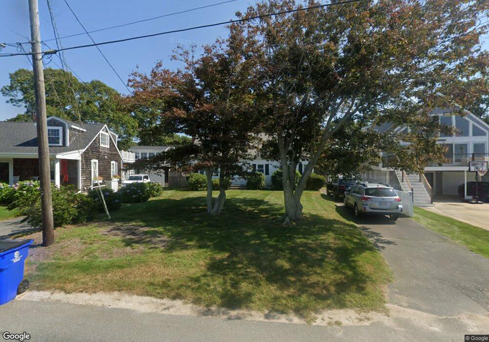
50 Gilder Rd Buzzards Bay, MA 02532
Estimated Value: $691,000 - $853,000
2
Beds
1
Bath
1,560
Sq Ft
$493/Sq Ft
Est. Value
About This Home
This home is located at 50 Gilder Rd, Buzzards Bay, MA 02532 and is currently estimated at $769,298, approximately $493 per square foot. 50 Gilder Rd is a home located in Barnstable County with nearby schools including Bourne High School, St Margaret Regional School, and Cadence Academy Preschool - Bourne.
Ownership History
Date
Name
Owned For
Owner Type
Purchase Details
Closed on
Sep 1, 2010
Sold by
Falvey Edward E and Falvey Suellen
Bought by
Falvey Edward E and Falvey Stephanie
Current Estimated Value
Purchase Details
Closed on
Dec 19, 1989
Sold by
Dineen Elaine F
Bought by
Falvey Gerald X
Home Financials for this Owner
Home Financials are based on the most recent Mortgage that was taken out on this home.
Original Mortgage
$120,000
Interest Rate
9.73%
Mortgage Type
Purchase Money Mortgage
Create a Home Valuation Report for This Property
The Home Valuation Report is an in-depth analysis detailing your home's value as well as a comparison with similar homes in the area
Purchase History
| Date | Buyer | Sale Price | Title Company |
|---|---|---|---|
| Falvey Edward E | -- | -- | |
| Falvey Edward E | -- | -- | |
| Falvey Gerald X | $163,000 | -- | |
| Falvey Gerald X | $163,000 | -- |
Source: Public Records
Mortgage History
| Date | Status | Borrower | Loan Amount |
|---|---|---|---|
| Previous Owner | Falvey Gerald X | $75,000 | |
| Previous Owner | Falvey Gerald X | $120,000 |
Source: Public Records
Tax History Compared to Growth
Tax History
| Year | Tax Paid | Tax Assessment Tax Assessment Total Assessment is a certain percentage of the fair market value that is determined by local assessors to be the total taxable value of land and additions on the property. | Land | Improvement |
|---|---|---|---|---|
| 2025 | $5,380 | $688,800 | $381,600 | $307,200 |
| 2024 | $5,260 | $655,900 | $363,400 | $292,500 |
| 2023 | $5,114 | $580,500 | $321,600 | $258,900 |
| 2022 | $4,697 | $465,500 | $284,600 | $180,900 |
| 2021 | $4,563 | $423,700 | $259,000 | $164,700 |
| 2020 | $4,368 | $406,700 | $256,500 | $150,200 |
| 2019 | $4,186 | $398,300 | $256,500 | $141,800 |
| 2018 | $4,000 | $379,500 | $244,400 | $135,100 |
| 2017 | $4,211 | $408,800 | $275,100 | $133,700 |
| 2016 | $3,886 | $382,500 | $275,100 | $107,400 |
| 2015 | $3,852 | $382,500 | $275,100 | $107,400 |
Source: Public Records
Map
Nearby Homes
- 151 - 153 Main St
- 46 Holt Rd Unit A
- 40-A Lafayette Ave
- 203 County Rd
- 4 Van Bummel Rd
- 13 Laurel Hill Ct
- 56 Rip Van Winkle Way
- 44 Cotuit Rd
- 3 Wolf Rd
- 5 Sea Knoll Ct
- 3 Fairway Dr Unit F
- 12 Beachwood Rd
- 23 Alderberry Rd
- 26 Carnoustie Rd
- 18 Douglas Ave
- 12 Turnberry Rd Unit 12
- 60 Sandwich Rd
- 38 Old Bridge Rd
- 6 Honora Ct
- 1 Hollyhock Knoll Ct Unit 1