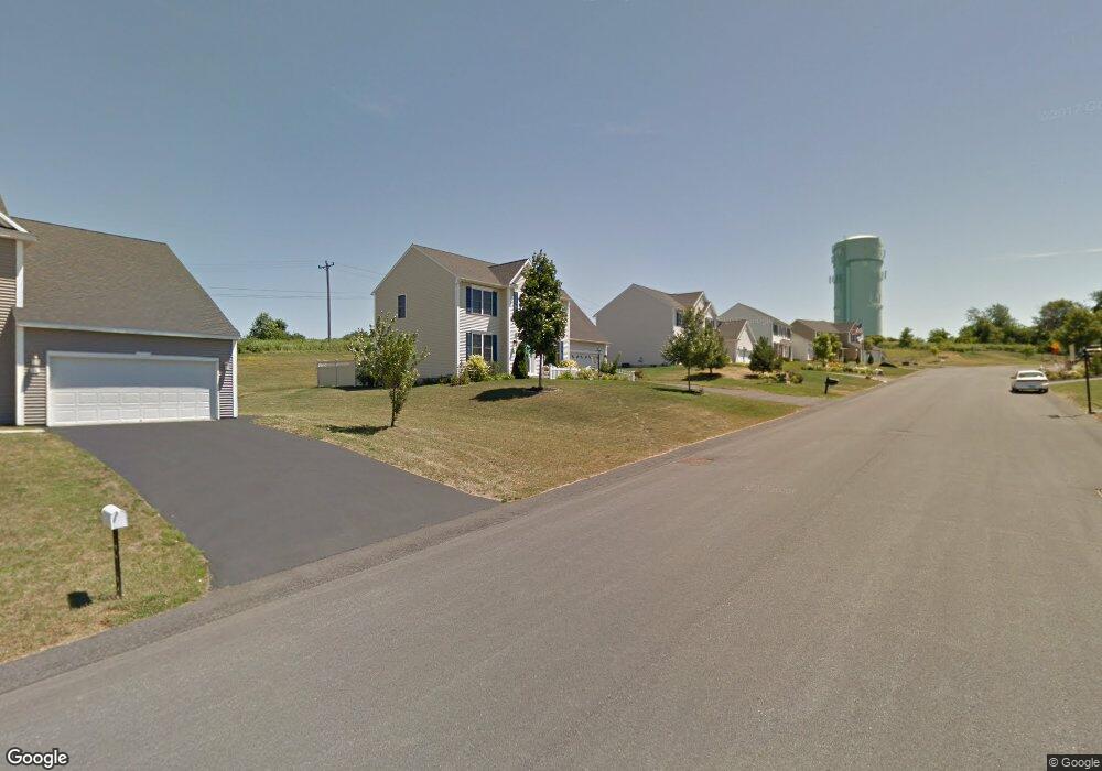
50 Graffin Dr Latham, NY 12110
Estimated Value: $563,000 - $849,000
4
Beds
3
Baths
2,500
Sq Ft
$271/Sq Ft
Est. Value
About This Home
This home is located at 50 Graffin Dr, Latham, NY 12110 and is currently estimated at $678,646, approximately $271 per square foot. 50 Graffin Dr is a home located in Albany County with nearby schools including Latham Ridge School, Shaker Junior High School, and Shaker High School.
Ownership History
Date
Name
Owned For
Owner Type
Purchase Details
Closed on
Apr 6, 2006
Sold by
Spring Meadow Development Company Inc
Bought by
Chouffi M Gregory
Current Estimated Value
Home Financials for this Owner
Home Financials are based on the most recent Mortgage that was taken out on this home.
Original Mortgage
$220,000
Outstanding Balance
$126,499
Interest Rate
6.37%
Mortgage Type
New Conventional
Estimated Equity
$552,147
Purchase Details
Closed on
Apr 5, 2006
Sold by
Spring Meadow Development Co Inc
Bought by
Chouffi M Gregory and Chouffi Brenda Knudson
Home Financials for this Owner
Home Financials are based on the most recent Mortgage that was taken out on this home.
Original Mortgage
$220,000
Outstanding Balance
$126,499
Interest Rate
6.37%
Mortgage Type
New Conventional
Estimated Equity
$552,147
Create a Home Valuation Report for This Property
The Home Valuation Report is an in-depth analysis detailing your home's value as well as a comparison with similar homes in the area
Home Values in the Area
Average Home Value in this Area
Purchase History
| Date | Buyer | Sale Price | Title Company |
|---|---|---|---|
| Chouffi M Gregory | $394,900 | E Gray Watkins | |
| Chouffi M Gregory | $395,000 | None Available |
Source: Public Records
Mortgage History
| Date | Status | Borrower | Loan Amount |
|---|---|---|---|
| Open | Chouffi M Gregory | $220,000 | |
| Closed | Chouffi M Gregory | $220,000 | |
| Closed | Chouffi M Gregory | $220,000 | |
| Closed | Chouffi M Gregory | $220,000 |
Source: Public Records
Tax History Compared to Growth
Tax History
| Year | Tax Paid | Tax Assessment Tax Assessment Total Assessment is a certain percentage of the fair market value that is determined by local assessors to be the total taxable value of land and additions on the property. | Land | Improvement |
|---|---|---|---|---|
| 2024 | $11,605 | $276,500 | $69,100 | $207,400 |
| 2023 | $11,356 | $276,500 | $69,100 | $207,400 |
| 2022 | $11,156 | $276,500 | $69,100 | $207,400 |
| 2021 | $11,107 | $276,500 | $69,100 | $207,400 |
| 2020 | $10,440 | $276,500 | $69,100 | $207,400 |
| 2019 | $5,610 | $276,500 | $69,100 | $207,400 |
| 2018 | $10,297 | $276,500 | $69,100 | $207,400 |
| 2017 | $6,544 | $276,500 | $69,100 | $207,400 |
| 2016 | $10,020 | $276,500 | $69,100 | $207,400 |
| 2015 | -- | $276,500 | $69,100 | $207,400 |
| 2014 | -- | $276,500 | $69,100 | $207,400 |
Source: Public Records
Map
Nearby Homes
- 6 Galileo Way
- 125 Latham Ridge Rd
- 22 Windrose Way
- 25 Louise Dr
- 16 N Point Dr
- 545 Columbia Street Extension
- 7 Colonie Ave
- 537 Columbia Street Extension
- 22 Corina Ct
- 18 Hay Path
- 5 Marquette Ave
- 102 Harvard Rd
- 68 Green Island Ave
- 52A Broadway
- 32 Old Sparrowbush Rd
- 19 Jared Ct
- 11 Belleauwood Cir
- 7 Oakland St
- 22 Whitaker Dr
- 17 Oakland St