50 Hamstead Dr Newport, ME 04953
Estimated Value: $529,356 - $632,000
Studio
--
Bath
--
Sq Ft
108,464
Sq Ft Lot
About This Home
This home is located at 50 Hamstead Dr, Newport, ME 04953 and is currently estimated at $572,119. 50 Hamstead Dr is a home with nearby schools including Sebasticook Valley Elementary School and Nokomis Regional Middle School/High School.
Ownership History
Date
Name
Owned For
Owner Type
Purchase Details
Closed on
Jul 20, 2018
Sold by
Beauregard Roland P
Bought by
Grenier-Newell Cynthia and Woodhouse Stephen R
Current Estimated Value
Home Financials for this Owner
Home Financials are based on the most recent Mortgage that was taken out on this home.
Original Mortgage
$37,700
Outstanding Balance
$32,604
Interest Rate
4.5%
Mortgage Type
Unknown
Estimated Equity
$539,515
Purchase Details
Closed on
Mar 13, 2017
Sold by
Beauregard Roland P
Bought by
Woodhouse Stephen R and Grenier-Newell Cynthia
Create a Home Valuation Report for This Property
The Home Valuation Report is an in-depth analysis detailing your home's value as well as a comparison with similar homes in the area
Home Values in the Area
Average Home Value in this Area
Purchase History
| Date | Buyer | Sale Price | Title Company |
|---|---|---|---|
| Grenier-Newell Cynthia | $10,000 | -- | |
| Woodhouse Stephen R | -- | -- |
Source: Public Records
Mortgage History
| Date | Status | Borrower | Loan Amount |
|---|---|---|---|
| Open | Grenier-Newell Cynthia | $37,700 |
Source: Public Records
Tax History
| Year | Tax Paid | Tax Assessment Tax Assessment Total Assessment is a certain percentage of the fair market value that is determined by local assessors to be the total taxable value of land and additions on the property. | Land | Improvement |
|---|---|---|---|---|
| 2024 | $6,673 | $381,300 | $190,600 | $190,700 |
| 2023 | $5,808 | $356,300 | $178,100 | $178,200 |
| 2022 | $5,519 | $281,600 | $140,800 | $140,800 |
| 2021 | $5,543 | $269,100 | $134,500 | $134,600 |
| 2020 | $5,440 | $264,100 | $132,000 | $132,100 |
| 2019 | $5,308 | $249,200 | $124,600 | $124,600 |
| 2018 | $4,654 | $218,500 | $108,000 | $110,500 |
| 2017 | $1,104 | $55,200 | $55,200 | $0 |
| 2016 | $1,071 | $55,200 | $55,200 | $0 |
| 2015 | $988 | $55,200 | $55,200 | $0 |
| 2014 | $949 | $55,200 | $55,200 | $0 |
Source: Public Records
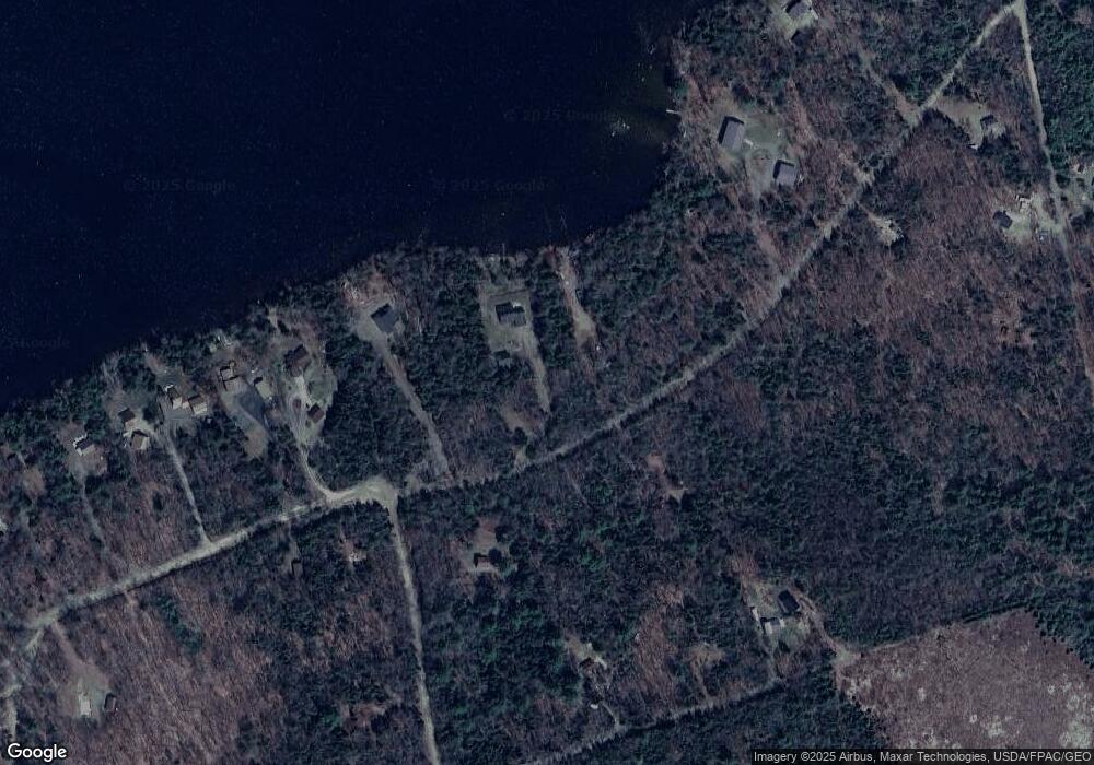
Map
Nearby Homes
- 009-007 Lilly Dr
- 28 Moose Creek Dr
- 106 Shady Ln
- 107 Shady Ln
- 448 Elm St
- 28 Sunrise Dr
- 107 Barrows Point Rd
- 205 Elm St
- 22 Grove St
- 61 Elm St
- 39 Burleigh Rd
- 161 Main St
- 26 Water St
- 49 North St
- 315 Golf Course Rd
- lot 6 Golf Course Rd Unit Lot 6
- 101 County Woods Rd
- lot 5 Golf Course Cameo Sub Rd
- 37 Loon Dr
- Lot 2 Golf Course Cameo Sub Rd
- Lot 9-21 Hamstead Dr
- Lot 9-20 Hamstead Dr
- LOT 9-18 Hamstead Dr
- Lot 9-23 Hamstead Dr
- Lot 9-22 Hamstead Dr
- 0 Corrie Rd Unit 728595
- 0 Corrie Rd Unit 494605
- 0 Corrie Rd Unit 493945
- 0 Corrie Rd Unit 316513
- 0 Corrie Rd Unit 246268
- 0 Corrie Rd Unit 387155
- 0 Corrie Rd Unit 235416
- 0 Corrie Rd Unit 270484
- 0 Corrie Rd Unit 249857
- 0 Corrie Rd Unit 249856
- 0 Corrie Rd Unit 1030103
- 24 Lilly Dr
- 34 Lily Dr
- LOT# 34 Lilly Rd
Your Personal Tour Guide
Ask me questions while you tour the home.