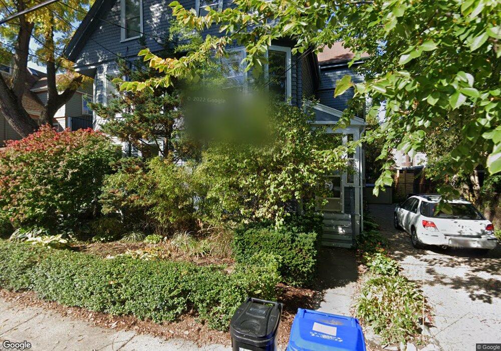
50 Harris St Brookline, MA 02446
Coolidge Corner NeighborhoodEstimated Value: $1,456,000 - $2,053,000
5
Beds
2
Baths
2,200
Sq Ft
$813/Sq Ft
Est. Value
About This Home
This home is located at 50 Harris St, Brookline, MA 02446 and is currently estimated at $1,788,665, approximately $813 per square foot. 50 Harris St is a home located in Norfolk County with nearby schools including Pierce School, Brookline High School, and St. Mary of the Assumption Elementary School.
Ownership History
Date
Name
Owned For
Owner Type
Purchase Details
Closed on
Jan 6, 2020
Sold by
Sable Nancy S and Sable Robert
Bought by
Robert Sable T
Current Estimated Value
Purchase Details
Closed on
Dec 22, 1986
Bought by
Sable Robert A and Sable Nancy S
Create a Home Valuation Report for This Property
The Home Valuation Report is an in-depth analysis detailing your home's value as well as a comparison with similar homes in the area
Home Values in the Area
Average Home Value in this Area
Purchase History
| Date | Buyer | Sale Price | Title Company |
|---|---|---|---|
| Robert Sable T | -- | None Available | |
| Sable Robert A | -- | -- |
Source: Public Records
Mortgage History
| Date | Status | Borrower | Loan Amount |
|---|---|---|---|
| Previous Owner | Sable Robert A | $175,000 |
Source: Public Records
Tax History
| Year | Tax Paid | Tax Assessment Tax Assessment Total Assessment is a certain percentage of the fair market value that is determined by local assessors to be the total taxable value of land and additions on the property. | Land | Improvement |
|---|---|---|---|---|
| 2025 | $12,566 | $1,273,200 | $0 | $1,273,200 |
| 2024 | $12,195 | $1,248,200 | $0 | $1,248,200 |
| 2023 | $11,818 | $1,185,400 | $0 | $1,185,400 |
| 2022 | $11,728 | $1,150,900 | $0 | $1,150,900 |
| 2021 | $11,168 | $1,139,600 | $0 | $1,139,600 |
| 2020 | $10,662 | $1,128,300 | $0 | $1,128,300 |
| 2019 | $10,069 | $1,074,600 | $0 | $1,074,600 |
| 2018 | $9,681 | $1,023,400 | $0 | $1,023,400 |
| 2017 | $9,362 | $947,600 | $0 | $947,600 |
| 2016 | $8,976 | $861,400 | $0 | $861,400 |
| 2015 | $8,364 | $783,100 | $0 | $783,100 |
| 2014 | $8,235 | $723,000 | $0 | $723,000 |
Source: Public Records
Map
Nearby Homes
- 80 Park St Unit 75
- 70 Park St Unit 17
- 80 Vernon St Unit PHB
- 80 Vernon St Unit 1-A
- 80 Vernon St Unit 2B
- 80 Vernon St Unit PHA
- 80 Vernon St Unit 3A
- 24 Auburn St Unit 2
- 125 Park St Unit 2
- 1407 Beacon St Unit 8
- 20 Webster St Unit 307
- 25 Webster St
- 441 Washington St Unit 5
- 20 Winchester St Unit 3
- 17 Summit Ave Unit 2
- 2-14 Saint Paul St Unit 403
- 401 Washington St Unit 6
- 19 Winchester St Unit 110
- 1495 Beacon St Unit G
- 1490 Beacon St Unit 4
- 48 Harris St
- 48 Harris St Unit 48
- 44 Harris St Unit 46
- 42 Vernon St
- 42 Vernon St Unit 403
- 42 Vernon St
- 42 Vernon St Unit 412
- 42 Vernon St Unit 3
- 42 Vernon St Unit 2
- 42 Vernon St Unit 35 - 412
- 42 Vernon St Unit 203
- 42 Vernon St Unit 404
- 42 Vernon St Unit 302
- 69 Park St Unit 6
- 69 Park St Unit 5
- 69 Park St Unit 4
- 69 Park St Unit 3
- 69 Park St Unit 2
- 69 Park St Unit 1
- 46 Vernon St
Your Personal Tour Guide
Ask me questions while you tour the home.