Estimated Value: $474,000 - $715,000
2
Beds
2
Baths
1,482
Sq Ft
$380/Sq Ft
Est. Value
About This Home
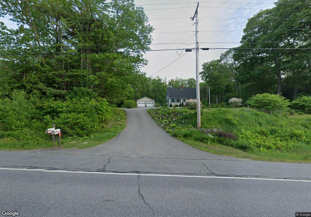
This home is located at 50 Heald Hwy, Union, ME 04862 and is currently estimated at $563,294, approximately $380 per square foot. 50 Heald Hwy is a home with nearby schools including Medomak Valley High School.
Ownership History
Date
Name
Owned For
Owner Type
Purchase Details
Closed on
Sep 8, 2015
Sold by
Jones Ralph E and Jones Pauline G
Bought by
Prock Randy A and Prock Cindy B
Current Estimated Value
Create a Home Valuation Report for This Property
The Home Valuation Report is an in-depth analysis detailing your home's value as well as a comparison with similar homes in the area
Home Values in the Area
Average Home Value in this Area
Purchase History
| Date | Buyer | Sale Price | Title Company |
|---|---|---|---|
| Prock Randy A | -- | -- |
Source: Public Records
Tax History Compared to Growth
Tax History
| Year | Tax Paid | Tax Assessment Tax Assessment Total Assessment is a certain percentage of the fair market value that is determined by local assessors to be the total taxable value of land and additions on the property. | Land | Improvement |
|---|---|---|---|---|
| 2024 | $7,300 | $424,400 | $58,100 | $366,300 |
| 2023 | $6,578 | $424,400 | $58,100 | $366,300 |
| 2022 | $6,281 | $424,400 | $58,100 | $366,300 |
| 2021 | $4,710 | $260,200 | $58,100 | $202,100 |
| 2020 | $4,684 | $260,200 | $58,100 | $202,100 |
| 2019 | $4,762 | $260,200 | $58,100 | $202,100 |
| 2018 | $4,632 | $260,200 | $58,100 | $202,100 |
| 2017 | $4,111 | $260,200 | $58,100 | $202,100 |
| 2016 | $4,543 | $268,800 | $58,100 | $210,700 |
| 2015 | $4,355 | $268,800 | $58,100 | $210,700 |
| 2014 | $4,274 | $268,800 | $58,100 | $210,700 |
Source: Public Records
Map
Nearby Homes
- 52 Heald Hwy
- 113 Mount Pleasant Rd
- 63 Highfield Rd
- 163 Main St
- 402 Daniels Rd
- 00 Buzzell Hill Rd
- 738 Payson Rd
- 507 Mount Pleasant St
- Lot 46 Hidden Acres
- 000 Tolman Rd
- 261 S Union Rd
- Lot 9 & 15 S Union Rd
- 122 Oak Point Ln
- 380 Tolman Rd
- 478 Carroll Rd
- 380 Wottons Mill Rd
- 579 Alford Lake Rd
- 208 Depot St
- 38 Cove Ln
- 425 Sennebec Rd