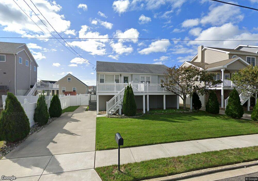
50 Heald Rd Brigantine, NJ 08203
Estimated Value: $576,381 - $671,000
--
Bed
--
Bath
1,148
Sq Ft
$551/Sq Ft
Est. Value
About This Home
This home is located at 50 Heald Rd, Brigantine, NJ 08203 and is currently estimated at $632,345, approximately $550 per square foot. 50 Heald Rd is a home located in Atlantic County with nearby schools including Brigantine Elementary School and Brigantine Community School.
Ownership History
Date
Name
Owned For
Owner Type
Purchase Details
Closed on
Jun 9, 2011
Sold by
Coyle Michael and Coyle Manuela
Bought by
Coyle Michael R and Coyle Manuela G
Current Estimated Value
Purchase Details
Closed on
Jul 16, 2004
Sold by
Turner Donald F
Bought by
Coyle Michael R and Costa Manuela
Home Financials for this Owner
Home Financials are based on the most recent Mortgage that was taken out on this home.
Original Mortgage
$310,800
Outstanding Balance
$155,880
Interest Rate
6.28%
Mortgage Type
Purchase Money Mortgage
Estimated Equity
$476,465
Create a Home Valuation Report for This Property
The Home Valuation Report is an in-depth analysis detailing your home's value as well as a comparison with similar homes in the area
Home Values in the Area
Average Home Value in this Area
Purchase History
| Date | Buyer | Sale Price | Title Company |
|---|---|---|---|
| Coyle Michael R | -- | None Available | |
| Coyle Michael R | $388,500 | Congress Title Corp |
Source: Public Records
Mortgage History
| Date | Status | Borrower | Loan Amount |
|---|---|---|---|
| Open | Coyle Michael R | $310,800 |
Source: Public Records
Tax History Compared to Growth
Tax History
| Year | Tax Paid | Tax Assessment Tax Assessment Total Assessment is a certain percentage of the fair market value that is determined by local assessors to be the total taxable value of land and additions on the property. | Land | Improvement |
|---|---|---|---|---|
| 2025 | $4,585 | $243,900 | $160,600 | $83,300 |
| 2024 | $4,585 | $243,900 | $160,600 | $83,300 |
| 2023 | $4,237 | $243,900 | $160,600 | $83,300 |
| 2022 | $4,237 | $243,900 | $160,600 | $83,300 |
| 2021 | $4,131 | $243,900 | $160,600 | $83,300 |
| 2020 | $4,117 | $243,900 | $160,600 | $83,300 |
| 2019 | $4,154 | $243,900 | $160,600 | $83,300 |
| 2018 | $4,237 | $243,900 | $160,600 | $83,300 |
| 2017 | $4,305 | $243,900 | $160,600 | $83,300 |
| 2016 | $4,302 | $243,900 | $160,600 | $83,300 |
| 2015 | $4,324 | $219,100 | $160,600 | $58,500 |
| 2014 | $3,740 | $219,100 | $160,600 | $58,500 |
Source: Public Records
Map
Nearby Homes
- 20 Heald Rd
- 113 Quay Blvd
- 601 Beach Ave E
- 42 Kirkwood Cir
- 6th Rum Point Ct
- 905 E Beach Ave Unit A
- 101 11th St N Unit A
- 315 E Brigantine Ave
- 303 Lafayette Place
- 815 E Brigantine Ave Unit 7
- 700 E Brigantine Ave Unit 2D
- 116 Bayshore Ave
- 300 E Brigantine Ave Unit 11
- 229 10th St N Unit 2
- 202 E Brigantine Ave
- 114 E Brigantine Ave Unit B
- 1203 Beach Ave E Unit 8
- 25 12th St N
- 1000 Sheridan Blvd
- 208 14th St N Unit A