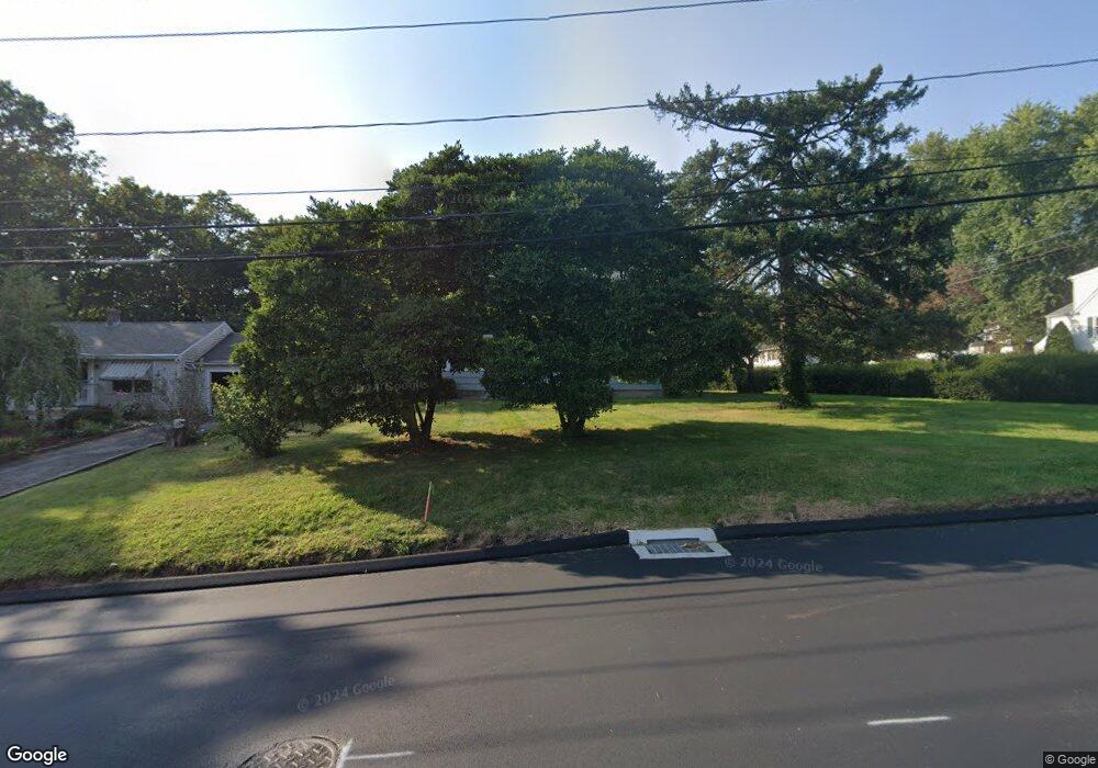
50 High St Portland, CT 06480
Estimated Value: $382,000 - $645,387
4
Beds
2
Baths
2,000
Sq Ft
$265/Sq Ft
Est. Value
About This Home
This home is located at 50 High St, Portland, CT 06480 and is currently estimated at $529,597, approximately $264 per square foot. 50 High St is a home located in Middlesex County with nearby schools including Valley View School, Brownstone Intermediate School, and Gildersleeve School.
Ownership History
Date
Name
Owned For
Owner Type
Purchase Details
Closed on
Oct 3, 2022
Sold by
Oleksiw Brian S and Oleksiw Kelly A
Bought by
Mackinnon Mary
Current Estimated Value
Purchase Details
Closed on
Feb 19, 2004
Sold by
Shaw Robert E and Shaw Geraldine A
Bought by
Serra Gerald S
Home Financials for this Owner
Home Financials are based on the most recent Mortgage that was taken out on this home.
Original Mortgage
$200,550
Interest Rate
5.83%
Purchase Details
Closed on
Oct 27, 1995
Sold by
Ross Paul M and Ross Cheryl R
Bought by
Shaw Robert E and Shaw Geraldine A
Home Financials for this Owner
Home Financials are based on the most recent Mortgage that was taken out on this home.
Original Mortgage
$87,665
Interest Rate
7.6%
Create a Home Valuation Report for This Property
The Home Valuation Report is an in-depth analysis detailing your home's value as well as a comparison with similar homes in the area
Home Values in the Area
Average Home Value in this Area
Purchase History
| Date | Buyer | Sale Price | Title Company |
|---|---|---|---|
| Mackinnon Mary | $550,000 | None Available | |
| Serra Gerald S | $204,000 | -- | |
| Shaw Robert E | $130,000 | -- |
Source: Public Records
Mortgage History
| Date | Status | Borrower | Loan Amount |
|---|---|---|---|
| Previous Owner | Shaw Robert E | $220,543 | |
| Previous Owner | Shaw Robert E | $200,550 | |
| Previous Owner | Shaw Robert E | $105,000 | |
| Previous Owner | Shaw Robert E | $87,665 |
Source: Public Records
Tax History Compared to Growth
Tax History
| Year | Tax Paid | Tax Assessment Tax Assessment Total Assessment is a certain percentage of the fair market value that is determined by local assessors to be the total taxable value of land and additions on the property. | Land | Improvement |
|---|---|---|---|---|
| 2024 | $5,145 | $150,010 | $50,750 | $99,260 |
| 2023 | $4,869 | $150,010 | $50,750 | $99,260 |
| 2022 | $4,866 | $150,010 | $50,750 | $99,260 |
| 2021 | $4,855 | $138,670 | $46,130 | $92,540 |
| 2020 | $4,767 | $138,670 | $46,130 | $92,540 |
| 2019 | $4,688 | $138,670 | $46,130 | $92,540 |
| 2018 | $4,688 | $138,670 | $46,130 | $92,540 |
| 2017 | $4,573 | $138,670 | $46,130 | $92,540 |
| 2016 | $4,499 | $138,390 | $49,490 | $88,900 |
| 2015 | $4,476 | $138,390 | $49,490 | $88,900 |
| 2014 | $4,398 | $138,390 | $49,490 | $88,900 |
Source: Public Records
Map
Nearby Homes
- 47 High St
- 12 Burr St
- 25 Church St
- 25 Waverly Ave
- 5 Woodland Rd
- 12 Fairview St
- 319 Main St
- 286 Marlborough St
- 23 Tuccitto Rd
- 20 Middlesex Avenue Extension
- 35 Copper Beech Ln Unit 35
- 523 Main St
- 28 & 33 River Rd
- 182 Summer St
- 45 Prospect St
- 54 Washington St
- 291 Main St
- 111 Dekoven Dr Unit 1108
- 0 Gildersleeve Rd
- 74 Grove St