50 Highview Dr Coal Township, PA 17866
Estimated Value: $178,000 - $426,000
--
Bed
--
Bath
--
Sq Ft
0.5
Acres
About This Home
This home is located at 50 Highview Dr, Coal Township, PA 17866 and is currently estimated at $279,173. 50 Highview Dr is a home located in Northumberland County with nearby schools including Shamokin Area Elementary School, Shamokin Area Middle School, and Shamokin Area High School.
Ownership History
Date
Name
Owned For
Owner Type
Purchase Details
Closed on
May 9, 2013
Sold by
Kessler Dorothy A and Burkhardt Donald J
Bought by
Losiewicz Philip R and Losiewicz Jennifer M
Current Estimated Value
Home Financials for this Owner
Home Financials are based on the most recent Mortgage that was taken out on this home.
Original Mortgage
$199,000
Outstanding Balance
$141,770
Interest Rate
3.6%
Mortgage Type
New Conventional
Estimated Equity
$137,403
Purchase Details
Closed on
Jan 15, 2010
Sold by
Burkhardt Donald J
Bought by
Kessler Dorothy
Purchase Details
Closed on
Feb 15, 2008
Sold by
Scicchitano Christopher T and Scicchitano Carol M
Bought by
Burkhardt Donald J
Home Financials for this Owner
Home Financials are based on the most recent Mortgage that was taken out on this home.
Original Mortgage
$200,000
Interest Rate
5.8%
Mortgage Type
New Conventional
Create a Home Valuation Report for This Property
The Home Valuation Report is an in-depth analysis detailing your home's value as well as a comparison with similar homes in the area
Home Values in the Area
Average Home Value in this Area
Purchase History
| Date | Buyer | Sale Price | Title Company |
|---|---|---|---|
| Losiewicz Philip R | $230,000 | None Available | |
| Kessler Dorothy | $88,894 | None Available | |
| Burkhardt Donald J | $28,500 | None Available |
Source: Public Records
Mortgage History
| Date | Status | Borrower | Loan Amount |
|---|---|---|---|
| Open | Losiewicz Philip R | $199,000 | |
| Previous Owner | Burkhardt Donald J | $200,000 |
Source: Public Records
Tax History Compared to Growth
Tax History
| Year | Tax Paid | Tax Assessment Tax Assessment Total Assessment is a certain percentage of the fair market value that is determined by local assessors to be the total taxable value of land and additions on the property. | Land | Improvement |
|---|---|---|---|---|
| 2025 | $4,651 | $40,700 | $3,950 | $36,750 |
| 2024 | $4,321 | $40,700 | $3,950 | $36,750 |
| 2023 | $4,321 | $40,700 | $3,950 | $36,750 |
| 2022 | $4,245 | $40,700 | $3,950 | $36,750 |
| 2021 | $4,079 | $40,700 | $3,950 | $36,750 |
| 2020 | $4,060 | $40,700 | $3,950 | $36,750 |
| 2019 | $3,682 | $40,700 | $3,950 | $36,750 |
| 2018 | $3,635 | $40,700 | $3,950 | $36,750 |
| 2017 | $3,453 | $40,700 | $3,950 | $36,750 |
| 2016 | -- | $40,700 | $3,950 | $36,750 |
| 2015 | -- | $40,700 | $3,950 | $36,750 |
| 2014 | -- | $40,700 | $3,950 | $36,750 |
Source: Public Records
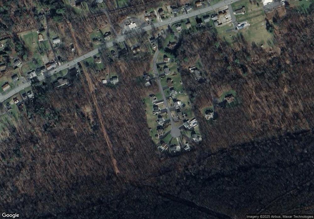
Map
Nearby Homes
- 2223 Park Rd
- 0 Park Rd
- 1950 W Independence St
- 1728 W Walnut St
- 1635 W Walnut St
- 1714 W Pine St
- 1539 W Lynn St
- 1100 Center St
- 1405 W Walnut St
- 1501 W Wood St
- 1551 W Holly St
- 1324 W Walnut St
- 954 Center St
- 1219 W Walnut St
- 1354 W Gowen St Unit 1356
- 1530 W Fern St
- 1248 W Pine St
- 1104 W Walnut St
- 1401 W Montgomery St
- 1149 W Wood St
- 60 Highview Dr
- 40 Highview Dr
- 70 Highview Dr
- 51 Highview Dr
- 41 Highview Dr
- 61 Highview Dr
- 20 Highview Dr
- 31 Highview Dr
- 71 Highview Dr
- 80 Highview Dr
- 21 Highview Dr
- 90 Highview Dr
- 81 Highview Dr
- 91 Highview Dr
- 1628 Trevorton Rd
- 11 Highview Dr
- 30 Wilson Ave
- 60 Wilson Ave
- 1646 Trevorton Rd
- 1658 Trevorton Rd