50 Highway 76 Loop Clayton, GA 30525
Estimated Value: $237,000 - $375,000
3
Beds
2
Baths
1,440
Sq Ft
$208/Sq Ft
Est. Value
About This Home
This home is located at 50 Highway 76 Loop, Clayton, GA 30525 and is currently estimated at $299,021, approximately $207 per square foot. 50 Highway 76 Loop is a home located in Rabun County with nearby schools including Rabun County Primary School, Rabun County High School, and Great Oaks Montessori .
Ownership History
Date
Name
Owned For
Owner Type
Purchase Details
Closed on
May 17, 2021
Sold by
Federal National Mortgage Association
Bought by
Prevatt Sharon B
Current Estimated Value
Purchase Details
Closed on
Apr 2, 2019
Sold by
Regions Bank
Bought by
Federal National Mtg Association
Purchase Details
Closed on
Jun 1, 2006
Sold by
Not Provided
Bought by
Hunnicutt Katrina and Hunnicutt Robert
Purchase Details
Closed on
Mar 1, 2004
Purchase Details
Closed on
Dec 1, 2002
Purchase Details
Closed on
Mar 1, 2002
Create a Home Valuation Report for This Property
The Home Valuation Report is an in-depth analysis detailing your home's value as well as a comparison with similar homes in the area
Home Values in the Area
Average Home Value in this Area
Purchase History
| Date | Buyer | Sale Price | Title Company |
|---|---|---|---|
| Prevatt Sharon B | $157,500 | -- | |
| Prevatt Sharon B | $157,500 | -- | |
| Federal National Mtg Association | -- | -- | |
| Federal National Mtg Association | -- | -- | |
| Regions Bank | $91,800 | -- | |
| Regions Bank | $91,800 | -- | |
| Hunnicutt Katrina | -- | -- | |
| Hunnicutt Katrina | -- | -- | |
| -- | -- | -- | |
| -- | -- | -- | |
| -- | -- | -- | |
| -- | -- | -- | |
| -- | -- | -- | |
| -- | -- | -- |
Source: Public Records
Tax History Compared to Growth
Tax History
| Year | Tax Paid | Tax Assessment Tax Assessment Total Assessment is a certain percentage of the fair market value that is determined by local assessors to be the total taxable value of land and additions on the property. | Land | Improvement |
|---|---|---|---|---|
| 2025 | $1,096 | $68,310 | $6,250 | $62,060 |
| 2024 | $1,033 | $64,339 | $6,250 | $58,089 |
| 2023 | $1,101 | $60,130 | $6,250 | $53,880 |
| 2022 | $1,064 | $58,153 | $6,250 | $51,903 |
| 2021 | $739 | $39,420 | $6,250 | $33,170 |
| 2020 | $595 | $30,679 | $6,250 | $24,429 |
| 2019 | $599 | $30,679 | $6,250 | $24,429 |
| 2018 | $601 | $30,679 | $6,250 | $24,429 |
| 2017 | $577 | $30,679 | $6,250 | $24,429 |
| 2016 | $588 | $31,212 | $6,250 | $24,962 |
| 2015 | $598 | $31,078 | $6,250 | $24,828 |
| 2014 | $602 | $31,080 | $6,252 | $24,828 |
Source: Public Records
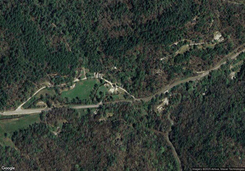
Map
Nearby Homes
- 0 Highway 76 E Unit 7628537
- 0 Highway 76 E Unit 10566724
- 0 Highway 76 E Unit 10579447
- 3197 Bridge Creek Rd
- 489 Glassy Orchard Rd
- 144 David Dr
- 146 David Dr
- 3.15 ACRES Barnyard Ln
- 0 Round Top Dr Unit 43B 10606429
- 832 Round Top Dr
- 63 Redwood Ln
- 0 Peach Orchard Way
- 38 Old Blue Trail
- 32 Hill Camp Ln
- 0 Nichols at Tate City Ln Unit 6 10559154
- 0 River Birch Ln Unit LOT 32 10554197
- 488 Northridge
- 0 Woodall Rd Unit 10618919
- 503 Wright Brothers Way
- 236 Saga Mountain Rd
- 50 W 76 Loop
- 118 Hwy 76w Loop
- 118 Highway 76 Loop
- 118 Highway 76 Loop
- 118 Highway 76 Loop
- 70 Highway 76 Loop
- 70 Hwy 76 Loop
- 70 Highway 76 Loop
- 118 W 76 Loop Rd
- 0 Highway 76 West W Unit 20035738
- 0 Hwy 76 E Unit 5982093
- 0 Highway 76 E Unit TR B 2702271
- 0 Highway 76 E Unit 2702240
- 0 Highway 76 E Unit TR C 2702832
- 0 Highway 76 E Unit TR A 2702792
- 0 Highway 76 W Unit 2572512
- 0 Hwy 76 E Unit 2603966
- 0 Hwy 76 E Unit 3058402
- 0 Highway 76 W Unit TRACT 3 3162790
- 0 Highway 76 W Unit TRACT 3 7037946