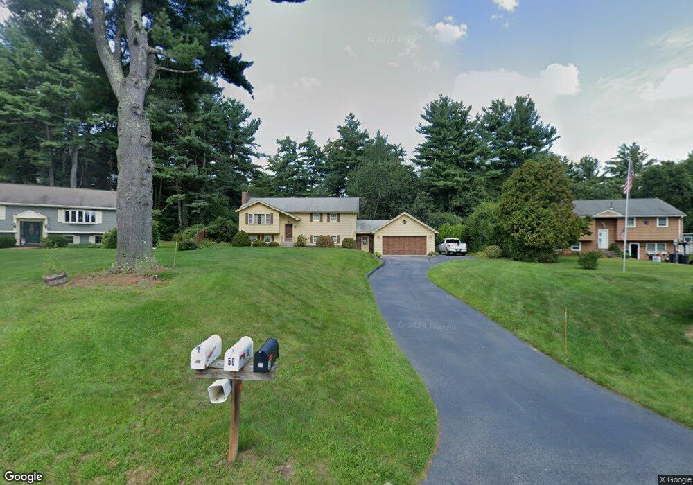
50 Juniper Brook Rd Northborough, MA 01532
Estimated Value: $583,635 - $681,000
3
Beds
2
Baths
1,086
Sq Ft
$593/Sq Ft
Est. Value
About This Home
This home is located at 50 Juniper Brook Rd, Northborough, MA 01532 and is currently estimated at $644,409, approximately $593 per square foot. 50 Juniper Brook Rd is a home located in Worcester County with nearby schools including Marguerite E. Peaslee Elementary School, Robert E. Melican Middle School, and Algonquin Regional High School.
Ownership History
Date
Name
Owned For
Owner Type
Purchase Details
Closed on
May 10, 2022
Sold by
Caliri Charles T and Caliri Carolyn A
Bought by
Charles T Caliri Ft
Current Estimated Value
Purchase Details
Closed on
Apr 1, 1975
Bought by
Caliri Charles T and Caliri Carolyn A
Create a Home Valuation Report for This Property
The Home Valuation Report is an in-depth analysis detailing your home's value as well as a comparison with similar homes in the area
Home Values in the Area
Average Home Value in this Area
Purchase History
| Date | Buyer | Sale Price | Title Company |
|---|---|---|---|
| Charles T Caliri Ft | -- | None Available | |
| Caliri Charles T | $38,500 | -- |
Source: Public Records
Mortgage History
| Date | Status | Borrower | Loan Amount |
|---|---|---|---|
| Previous Owner | Caliri Charles T | $99,999 | |
| Previous Owner | Caliri Charles T | $24,000 |
Source: Public Records
Tax History
| Year | Tax Paid | Tax Assessment Tax Assessment Total Assessment is a certain percentage of the fair market value that is determined by local assessors to be the total taxable value of land and additions on the property. | Land | Improvement |
|---|---|---|---|---|
| 2025 | $8,482 | $595,200 | $287,700 | $307,500 |
| 2024 | $7,587 | $531,300 | $236,600 | $294,700 |
| 2023 | $7,441 | $503,100 | $223,800 | $279,300 |
| 2022 | $7,265 | $440,600 | $213,400 | $227,200 |
| 2021 | $7,016 | $409,800 | $194,600 | $215,200 |
| 2020 | $7,071 | $409,900 | $194,600 | $215,300 |
| 2019 | $6,875 | $400,900 | $189,000 | $211,900 |
| 2018 | $6,483 | $372,800 | $177,700 | $195,100 |
| 2017 | $6,177 | $355,200 | $172,200 | $183,000 |
| 2016 | $5,845 | $340,400 | $168,800 | $171,600 |
| 2015 | $5,613 | $335,500 | $171,500 | $164,000 |
| 2014 | $5,395 | $325,200 | $171,500 | $153,700 |
Source: Public Records
Map
Nearby Homes
- 106 School St
- 2 Codman Way Unit 402
- 2 Codman Way Unit 104
- 2 Codman Way Unit 408
- 5 Peters Farm Way Unit 209
- 5 Peters Farm Way Unit 111
- 5 Peters Farm Way Unit 206
- 5 Peters Farm Way Unit 103
- 5 Peters Farm Way Unit 406
- 5 Peters Farm Way Unit 5205
- 5 Peters Farm Way Unit 113
- 5 Peters Farm Way Unit 207
- 5 Peters Farm Way Unit 213
- 71 Summer St
- 11101 Peters Farm Way Unit 101
- 1102 Peters Farm Way Unit 1102
- 2 Talbot Way Unit 2103
- 2 Talbot Way Unit 2208
- 4206 Peters Farm Way Unit 206
- 2306 Talbot Way Unit 2306
- 52 Juniper Brook Rd
- 48 Juniper Brook Rd
- 54 Juniper Brook Rd
- 31 Juniper Brook Rd
- 33 Juniper Brook Rd
- 42 Juniper Brook Rd
- 56 Juniper Brook Rd
- 46 Juniper Brook Rd
- 44 Juniper Brook Rd
- 29 Juniper Brook Rd
- 1 Juniper Ln
- 35 Juniper Brook Rd
- 246 School St
- 2 Juniper Ln
- 27 Juniper Brook Rd
- 3 Juniper Ln
- 37 Juniper Brook Rd
- 4 Juniper Ln
- 58 Juniper Brook Rd
- 25 Juniper Brook Rd
Your Personal Tour Guide
Ask me questions while you tour the home.