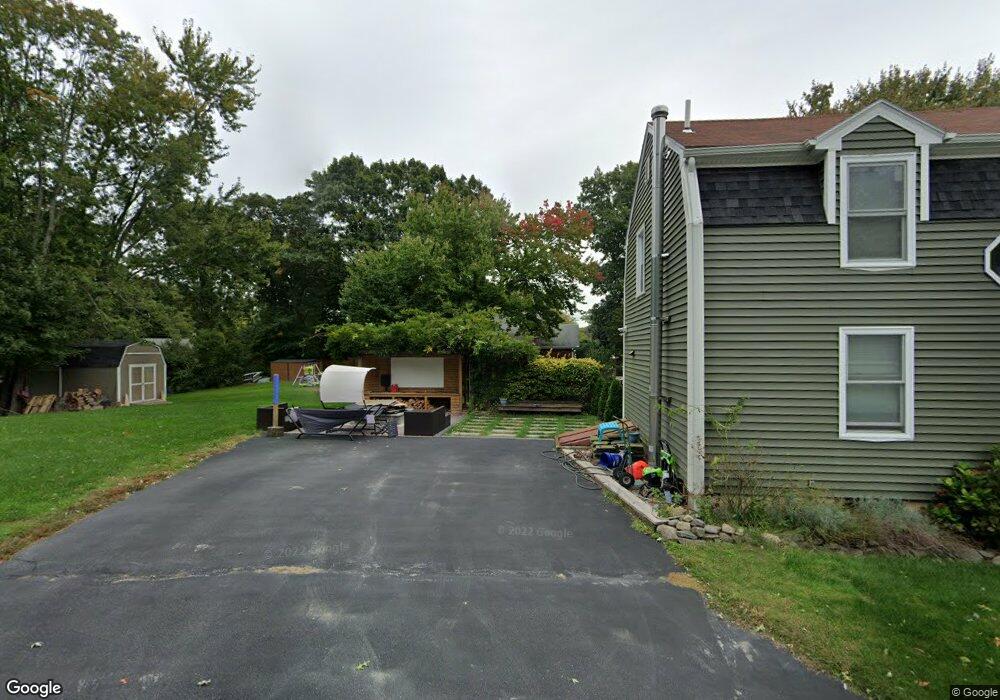
50 Kristen Dr Seekonk, MA 02771
Estimated Value: $442,000 - $498,000
3
Beds
1
Bath
1,120
Sq Ft
$418/Sq Ft
Est. Value
About This Home
This home is located at 50 Kristen Dr, Seekonk, MA 02771 and is currently estimated at $467,661, approximately $417 per square foot. 50 Kristen Dr is a home located in Bristol County with nearby schools including Seekonk High School, St Margaret School, and The Wolf School.
Ownership History
Date
Name
Owned For
Owner Type
Purchase Details
Closed on
Oct 14, 2005
Sold by
Demelo Lorraine and Demelo Raul S
Bought by
Mizner Christina D and Mizner Jerry D
Current Estimated Value
Home Financials for this Owner
Home Financials are based on the most recent Mortgage that was taken out on this home.
Original Mortgage
$346,862
Outstanding Balance
$185,890
Interest Rate
5.78%
Mortgage Type
Purchase Money Mortgage
Estimated Equity
$281,771
Purchase Details
Closed on
Jun 16, 1994
Sold by
Mills Leonard and Vincelette Ronald
Bought by
Barney Daniel H and Barney Elaine M
Home Financials for this Owner
Home Financials are based on the most recent Mortgage that was taken out on this home.
Original Mortgage
$109,250
Interest Rate
8.5%
Mortgage Type
Purchase Money Mortgage
Purchase Details
Closed on
Mar 4, 1993
Sold by
Lundgren Richard L
Bought by
Mills Leonard and Vincelette Ronald
Create a Home Valuation Report for This Property
The Home Valuation Report is an in-depth analysis detailing your home's value as well as a comparison with similar homes in the area
Home Values in the Area
Average Home Value in this Area
Purchase History
| Date | Buyer | Sale Price | Title Company |
|---|---|---|---|
| Mizner Christina D | $132,000 | -- | |
| Barney Daniel H | $115,000 | -- | |
| Mills Leonard | $40,615 | -- |
Source: Public Records
Mortgage History
| Date | Status | Borrower | Loan Amount |
|---|---|---|---|
| Open | Mizner Christina D | $346,862 | |
| Previous Owner | Mills Leonard | $109,250 |
Source: Public Records
Tax History Compared to Growth
Tax History
| Year | Tax Paid | Tax Assessment Tax Assessment Total Assessment is a certain percentage of the fair market value that is determined by local assessors to be the total taxable value of land and additions on the property. | Land | Improvement |
|---|---|---|---|---|
| 2025 | $4,702 | $380,700 | $172,600 | $208,100 |
| 2024 | $4,526 | $366,500 | $172,600 | $193,900 |
| 2023 | $4,413 | $336,600 | $154,700 | $181,900 |
| 2022 | $4,075 | $305,500 | $149,900 | $155,600 |
| 2021 | $3,778 | $278,400 | $126,400 | $152,000 |
| 2020 | $3,519 | $267,200 | $126,500 | $140,700 |
| 2019 | $3,418 | $261,700 | $126,500 | $135,200 |
| 2018 | $3,338 | $250,000 | $121,900 | $128,100 |
| 2017 | $3,294 | $244,700 | $121,900 | $122,800 |
| 2016 | $3,261 | $243,200 | $121,900 | $121,300 |
| 2015 | $3,171 | $239,700 | $121,900 | $117,800 |
Source: Public Records
Map
Nearby Homes
- 12 Arthur St
- 0 Pleasant St
- 442 Taunton Ave
- 224 Arcade Ave
- 62 Chestnut St
- 0 Patterson St Unit 73348933
- 24 Morra Way
- 296 Fall River Ave
- 0 Milton St Unit 72633661
- 63 Greenwood Ave Unit 65
- 0 Taunton Ave
- 181 Hope St
- 0 Arcade Ave Unit 73446971
- 62 Byron Ave
- 181 Sherman Ave
- 71 Priscilla Ave
- 50 Redland Ave
- 0 Newman Ave Rear
- 824 Taunton Ave
- 30 Metacomet Ave