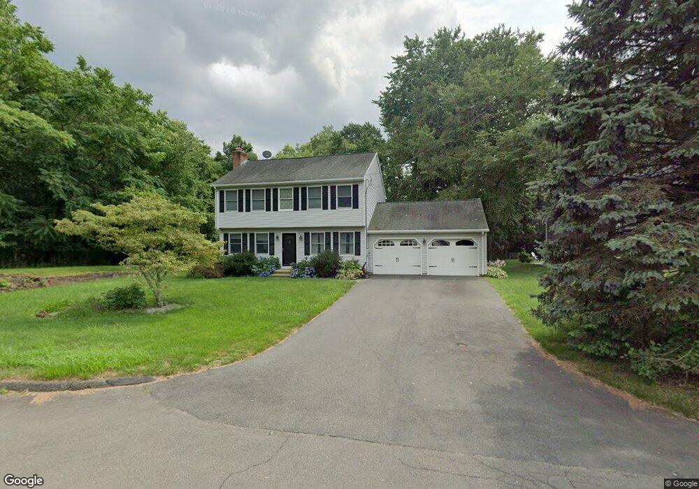
50 Laurel Dr Berlin, CT 06037
Estimated Value: $523,102 - $564,000
3
Beds
7
Baths
2,096
Sq Ft
$256/Sq Ft
Est. Value
About This Home
This home is located at 50 Laurel Dr, Berlin, CT 06037 and is currently estimated at $537,526, approximately $256 per square foot. 50 Laurel Dr is a home located in Hartford County with nearby schools including Richard D. Hubbard School, Catherine M. Mcgee Middle School, and Berlin High School.
Ownership History
Date
Name
Owned For
Owner Type
Purchase Details
Closed on
Nov 13, 2008
Sold by
Cantone Hilary B
Bought by
Ferguson Donna
Current Estimated Value
Purchase Details
Closed on
Aug 22, 2006
Sold by
Farrell Joanne
Bought by
Cantone David J
Create a Home Valuation Report for This Property
The Home Valuation Report is an in-depth analysis detailing your home's value as well as a comparison with similar homes in the area
Home Values in the Area
Average Home Value in this Area
Purchase History
| Date | Buyer | Sale Price | Title Company |
|---|---|---|---|
| Ferguson Donna | $361,000 | -- | |
| Ferguson Donna V | $361,000 | -- | |
| Cantone David J | $75,000 | -- |
Source: Public Records
Mortgage History
| Date | Status | Borrower | Loan Amount |
|---|---|---|---|
| Open | Cantone David J | $193,000 | |
| Closed | Cantone David J | $217,020 |
Source: Public Records
Tax History Compared to Growth
Tax History
| Year | Tax Paid | Tax Assessment Tax Assessment Total Assessment is a certain percentage of the fair market value that is determined by local assessors to be the total taxable value of land and additions on the property. | Land | Improvement |
|---|---|---|---|---|
| 2025 | $8,564 | $279,400 | $79,500 | $199,900 |
| 2024 | $8,441 | $279,400 | $79,500 | $199,900 |
| 2023 | $8,259 | $279,400 | $79,500 | $199,900 |
| 2022 | $7,926 | $231,000 | $73,100 | $157,900 |
| 2021 | $7,838 | $231,000 | $73,100 | $157,900 |
| 2020 | $7,838 | $231,000 | $73,100 | $157,900 |
| 2019 | $7,838 | $231,000 | $73,100 | $157,900 |
| 2018 | $7,508 | $231,000 | $73,100 | $157,900 |
| 2017 | $6,945 | $219,700 | $72,400 | $147,300 |
| 2016 | $6,590 | $213,900 | $72,400 | $141,500 |
| 2015 | $6,492 | $213,900 | $72,400 | $141,500 |
| 2014 | $6,186 | $213,900 | $72,400 | $141,500 |
Source: Public Records
Map
Nearby Homes
- 548 Worthington Ridge
- 0 Country Ct Unit 137 24077628
- 1152 Worthington Ridge
- 1175 Worthington Ridge
- 44 Briar Patch Dr
- 0 Middle St
- 644 Four Rod Rd
- 660/674 Church Rear St
- 24 Williams St
- 129 Webster Ct
- 303 New Britain Rd
- 405 Alling St
- 97 Benson St
- 51 Towne Dr
- 1103 Gray Fox Ln
- 117 Homecrest Dr
- 163 Speno Ridge
- 490 South St
- 53 Boyer St
- 67 Robbins Rd