50 Lookout Loop Burnsville, NC 28714
Estimated Value: $806,962 - $1,040,000
3
Beds
3
Baths
1,683
Sq Ft
$565/Sq Ft
Est. Value
About This Home
This home is located at 50 Lookout Loop, Burnsville, NC 28714 and is currently estimated at $950,241, approximately $564 per square foot. 50 Lookout Loop is a home with nearby schools including Mountain Heritage High School.
Ownership History
Date
Name
Owned For
Owner Type
Purchase Details
Closed on
Sep 27, 2007
Sold by
Brown William P and Brown Carolyn S
Bought by
Paul Richard V and Paul Sara C
Current Estimated Value
Home Financials for this Owner
Home Financials are based on the most recent Mortgage that was taken out on this home.
Original Mortgage
$500,000
Outstanding Balance
$318,494
Interest Rate
6.6%
Mortgage Type
Adjustable Rate Mortgage/ARM
Estimated Equity
$631,747
Create a Home Valuation Report for This Property
The Home Valuation Report is an in-depth analysis detailing your home's value as well as a comparison with similar homes in the area
Home Values in the Area
Average Home Value in this Area
Purchase History
| Date | Buyer | Sale Price | Title Company |
|---|---|---|---|
| Paul Richard V | $625,000 | None Available |
Source: Public Records
Mortgage History
| Date | Status | Borrower | Loan Amount |
|---|---|---|---|
| Open | Paul Richard V | $500,000 |
Source: Public Records
Tax History Compared to Growth
Tax History
| Year | Tax Paid | Tax Assessment Tax Assessment Total Assessment is a certain percentage of the fair market value that is determined by local assessors to be the total taxable value of land and additions on the property. | Land | Improvement |
|---|---|---|---|---|
| 2025 | $4,100 | $732,100 | $375,000 | $357,100 |
| 2024 | $4,100 | $732,100 | $375,000 | $357,100 |
| 2023 | $2,269 | $354,520 | $50,000 | $304,520 |
| 2022 | $2,224 | $354,520 | $50,000 | $304,520 |
| 2021 | $2,269 | $354,520 | $50,000 | $304,520 |
| 2020 | $2,269 | $354,520 | $50,000 | $304,520 |
| 2019 | $2,269 | $354,520 | $50,000 | $304,520 |
| 2018 | $2,269 | $354,520 | $50,000 | $304,520 |
| 2017 | $2,269 | $354,520 | $50,000 | $304,520 |
| 2016 | $2,269 | $354,520 | $50,000 | $304,520 |
| 2015 | $3,352 | $620,770 | $300,000 | $320,770 |
| 2014 | $3,352 | $620,770 | $300,000 | $320,770 |
Source: Public Records
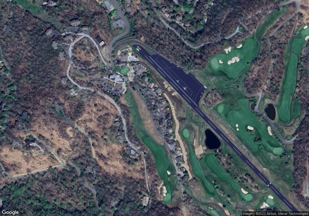
Map
Nearby Homes
- 218 Slickrock Rd
- 61 Ivy Ridge Rd
- 71 Ivy Ridge Rd
- 21 Ivy Ridge Rd
- 80 Slickrock Rd Unit A-4
- 80 Slickrock Rd Unit A2
- 135 Club House Dr Unit 5-A
- 140 Slickrock Rd Unit F3
- 140 Slickrock Rd Unit F4
- 133 Club House Dr Unit 4B
- 114 Slickrock Rd Unit C/3
- 30 Club Villa Ct Unit B-2
- 30 Club Villa Ct Unit B - 3
- 66 Club Villa Ct Unit D/3
- 55 Ramp Patch Trail
- Lots 16 and 17 Ramp Patch Trail
- 221 Ivy Ridge Rd
- 2280 Mountain Air Dr
- Lot 2 Ball Hooter Rd Unit 2/6
- Lot 81 Ball Camp Rd Unit 81/1
- 66 Lookout Loop
- 22 Lookout Loop
- 45 Lookout Loop
- 61 Lookout Loop
- 71 Lookout Loop
- 80 Lookout Loop
- 11 Lookout Loop
- 23 Lookout Loop
- 85 Lookout Loop
- 15 Lookout Loop
- 90 Lookout Loop
- 21 Lookout Loop
- 000 Laurel Park Hwy N Unit 10
- 000 Laurel Park Hwy N Unit 117
- 17 Lookout Loop
- 17 Lookout Loop Unit 2, phase 1
- 101 Lookout Loop
- 19 Lookout Loop
- 107 Lookout Loop
- 334 Slickrock Rd