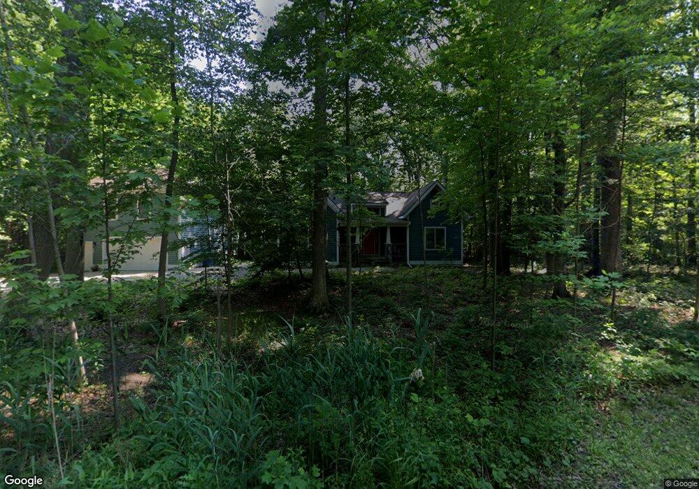
50 Magnolia Trail Unit B Michigan City, IN 46360
Estimated Value: $602,000 - $725,000
1
Bed
1
Bath
624
Sq Ft
$1,062/Sq Ft
Est. Value
About This Home
This home is located at 50 Magnolia Trail Unit B, Michigan City, IN 46360 and is currently estimated at $662,673, approximately $1,061 per square foot. 50 Magnolia Trail Unit B is a home located in LaPorte County with nearby schools including Springfield Elementary School, Martin T. Krueger Middle School, and Michigan City High School.
Ownership History
Date
Name
Owned For
Owner Type
Purchase Details
Closed on
May 23, 2022
Sold by
Barbara Weaver
Bought by
Moe Thomas J
Current Estimated Value
Purchase Details
Closed on
Oct 31, 2006
Sold by
Bk Development Llc
Bought by
Weaver William and Weaver Barbara
Home Financials for this Owner
Home Financials are based on the most recent Mortgage that was taken out on this home.
Original Mortgage
$306,600
Interest Rate
6.36%
Mortgage Type
Unknown
Create a Home Valuation Report for This Property
The Home Valuation Report is an in-depth analysis detailing your home's value as well as a comparison with similar homes in the area
Home Values in the Area
Average Home Value in this Area
Purchase History
| Date | Buyer | Sale Price | Title Company |
|---|---|---|---|
| Moe Thomas J | -- | Passaro Kahne & Taylor Law Pll | |
| Weaver William | -- | Chicago Title Insurance Co |
Source: Public Records
Mortgage History
| Date | Status | Borrower | Loan Amount |
|---|---|---|---|
| Previous Owner | Weaver William | $306,600 |
Source: Public Records
Tax History Compared to Growth
Tax History
| Year | Tax Paid | Tax Assessment Tax Assessment Total Assessment is a certain percentage of the fair market value that is determined by local assessors to be the total taxable value of land and additions on the property. | Land | Improvement |
|---|---|---|---|---|
| 2024 | $8,750 | $430,900 | $85,900 | $345,000 |
| 2022 | $3,940 | $394,000 | $71,600 | $322,400 |
| 2021 | $3,362 | $336,200 | $71,600 | $264,600 |
| 2020 | $3,394 | $336,200 | $71,600 | $264,600 |
| 2019 | $6,246 | $309,900 | $71,600 | $238,300 |
| 2018 | $2,919 | $287,100 | $71,600 | $215,500 |
| 2017 | $2,782 | $273,400 | $71,600 | $201,800 |
| 2016 | $2,460 | $241,200 | $38,200 | $203,000 |
| 2014 | $2,908 | $290,800 | $53,400 | $237,400 |
Source: Public Records
Map
Nearby Homes
- 30 Blackberry Trail
- 9 Blackberry Trail
- 10 Blackberry Trail
- 61 Timber Trail
- 3209 Springland Ave
- Integrity 1910 Plan at Mayfield Prairie
- Integrity 1560 Plan at Mayfield Prairie
- Integrity 2061 V8.1a Plan at Mayfield Prairie
- Integrity 2060 Plan at Mayfield Prairie
- Integrity 2085 Plan at Mayfield Prairie
- 153 Mayfield Dr
- 23 Tryon Farm Ln
- 127 Mayfield Dr
- 114 Mayfield Dr
- 103 Mayfield Dr
- 101 Mayfield Dr
- 800 Indiana 212 Unit C5N
- 990 Indiana 212
- 102 S Karwick Rd
- 726 Freyer Rd
- 50 Magnolia Trail
- 0 Blackberry Trail
- 17 Blackberry Trail
- 41 Spruce Trail
- 0 Magnolia Trail
- 51 Magnolia Trail
- 57 Magnolia Trail
- 43 Spruce Trail
- 52 Magnolia Trail
- 53 Magnolia Trail
- 56 Magnolia Trail
- 23 Blackberry Trail
- 45 Spruce Trail
- 45 Spruce Trail
- 25 Blackberry Trail
- 21 Blackberry Trail
- 40 Spruce Trail
- 54 Magnolia Trail
- 55 Magnolia Trail
- 19 Blackberry Trail