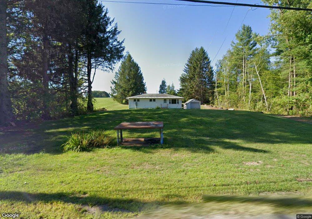
50 Main St Ashfield, MA 01330
Ashfield NeighborhoodEstimated Value: $240,000 - $265,000
3
Beds
1
Bath
1,008
Sq Ft
$252/Sq Ft
Est. Value
About This Home
This home is located at 50 Main St, Ashfield, MA 01330 and is currently estimated at $254,146, approximately $252 per square foot. 50 Main St is a home located in Franklin County with nearby schools including Mohawk Trail Regional High School.
Ownership History
Date
Name
Owned For
Owner Type
Purchase Details
Closed on
Jul 31, 2015
Sold by
Est Dyer Lorraine B and Clark Barbara J
Bought by
Harris Stuart A and Gray Raymond M
Current Estimated Value
Home Financials for this Owner
Home Financials are based on the most recent Mortgage that was taken out on this home.
Original Mortgage
$101,600
Outstanding Balance
$79,744
Interest Rate
3.97%
Mortgage Type
New Conventional
Estimated Equity
$174,402
Create a Home Valuation Report for This Property
The Home Valuation Report is an in-depth analysis detailing your home's value as well as a comparison with similar homes in the area
Home Values in the Area
Average Home Value in this Area
Purchase History
We collect this data history from publicly available records. To have your information removed, we recommend requesting removal directly through your county’s website.
| Date | Buyer | Sale Price | Title Company |
|---|---|---|---|
| Harris Stuart A | $127,000 | -- |
Source: Public Records
Mortgage History
We collect this data history from publicly available records. To have your information removed, we recommend requesting removal directly through your county’s website.
| Date | Status | Borrower | Loan Amount |
|---|---|---|---|
| Open | Harris Stuart A | $101,600 |
Source: Public Records
Tax History
| Year | Tax Paid | Tax Assessment Tax Assessment Total Assessment is a certain percentage of the fair market value that is determined by local assessors to be the total taxable value of land and additions on the property. | Land | Improvement |
|---|---|---|---|---|
| 2025 | $2,874 | $213,500 | $71,900 | $141,600 |
| 2024 | $2,973 | $203,500 | $71,900 | $131,600 |
| 2023 | $2,855 | $162,100 | $57,500 | $104,600 |
| 2022 | $2,626 | $151,100 | $54,600 | $96,500 |
| 2021 | $2,449 | $148,000 | $54,600 | $93,400 |
| 2020 | $2,466 | $148,000 | $54,600 | $93,400 |
| 2019 | $2,397 | $139,700 | $51,000 | $88,700 |
| 2018 | $2,400 | $139,700 | $51,000 | $88,700 |
| 2017 | $2,232 | $137,600 | $50,300 | $87,300 |
| 2016 | $2,152 | $130,900 | $50,300 | $80,600 |
| 2015 | $2,090 | $130,900 | $50,300 | $80,600 |
| 2014 | $2,195 | $135,800 | $47,400 | $88,400 |
Source: Public Records
Map
Nearby Homes
- 14 South St
- 0 N Bear River Rd Unit 73485981
- 0 Sears Rd Unit 73373850
- 333 Ranney Corner Rd
- 311 Cummington Rd
- 1230 Main Poland Rd
- 54 E Main St
- 3 Hog Hollow Rd
- 78 Shaw Rd
- 2930 Shelburne Falls Rd
- 278 E Main St
- 0 Maple St
- 11 Bray Rd
- 44 Aberdeen Rd
- 2 Franklin St
- 58 River Rd
- 10 Deerfield Ave Unit 2
- 0, Lot 7 East Rd
- Lot 3.2 East Rd
- 143 Charlemont Rd
- 32 Main St
- 102 Main St
- 0 Main Street Rt 116 Unit 72853463
- 118 Main St
- 0 Ashfield Mountain Rd Unit 70531733
- 0 Ashfield Mountain Rd Unit 70621730
- 126 Main St
- 82 Suburban Dr
- 157 Main St
- 39 Steady Ln
- 168 Main St
- 126B Ashfield Mountain Rd
- 126A Ashfield Mountain Rd
- 188 Main St
- 188 Main St Unit 1
- 230 Main St
- 30 Smith Rd
- 12 Lilliput Rd
- 126C Ashfield Mountain Rd
- 134 Ashfield Mountain Rd
Your Personal Tour Guide
Ask me questions while you tour the home.