50 Main St Unit 52 Dalton, MA 01226
Estimated Value: $254,000 - $397,013
3
Beds
2
Baths
2,968
Sq Ft
$108/Sq Ft
Est. Value
About This Home
This home is located at 50 Main St Unit 52, Dalton, MA 01226 and is currently estimated at $320,753, approximately $108 per square foot. 50 Main St Unit 52 is a home located in Berkshire County with nearby schools including Wahconah Regional High School, St. Agnes Academy, and Sacred Heart School.
Ownership History
Date
Name
Owned For
Owner Type
Purchase Details
Closed on
Dec 19, 2012
Sold by
Sugar Hill Llc
Bought by
Ga Hc Reit 2 Dalton Al
Current Estimated Value
Purchase Details
Closed on
Oct 10, 2008
Sold by
50 52 Main St Off Llc
Bought by
Sugar Hill Llc
Purchase Details
Closed on
Jun 28, 2000
Sold by
Crane Ret Arthur E and Crane 1973 Ret Cooley
Bought by
5052 Off Main St Llc
Purchase Details
Closed on
Jun 23, 2000
Sold by
Crane Winthrop M and Francis Kathrine A
Bought by
50-52 Main St Off Llc
Create a Home Valuation Report for This Property
The Home Valuation Report is an in-depth analysis detailing your home's value as well as a comparison with similar homes in the area
Home Values in the Area
Average Home Value in this Area
Purchase History
| Date | Buyer | Sale Price | Title Company |
|---|---|---|---|
| Ga Hc Reit 2 Dalton Al | $8,936,450 | -- | |
| Ga Hc Reit 2 Dalton Al | $8,936,450 | -- | |
| Sugar Hill Llc | -- | -- | |
| Sugar Hill Llc | -- | -- | |
| 5052 Off Main St Llc | $47,500 | -- | |
| 5052 Off Main St Llc | $47,500 | -- | |
| 50-52 Main St Off Llc | $47,500 | -- | |
| 50-52 Main St Off Llc | $47,500 | -- |
Source: Public Records
Tax History Compared to Growth
Tax History
| Year | Tax Paid | Tax Assessment Tax Assessment Total Assessment is a certain percentage of the fair market value that is determined by local assessors to be the total taxable value of land and additions on the property. | Land | Improvement |
|---|---|---|---|---|
| 2025 | $6,646 | $366,600 | $63,600 | $303,000 |
| 2024 | $5,678 | $312,000 | $58,100 | $253,900 |
| 2023 | $5,591 | $290,600 | $52,900 | $237,700 |
| 2022 | $5,407 | $260,700 | $52,900 | $207,800 |
| 2021 | $5,227 | $243,000 | $49,400 | $193,600 |
| 2020 | $4,930 | $243,000 | $49,400 | $193,600 |
| 2019 | $4,449 | $228,400 | $37,900 | $190,500 |
| 2018 | $4,585 | $230,300 | $39,500 | $190,800 |
| 2017 | $4,576 | $230,300 | $39,500 | $190,800 |
| 2016 | $4,578 | $233,200 | $39,500 | $193,700 |
| 2015 | $4,550 | $233,700 | $39,500 | $194,200 |
Source: Public Records
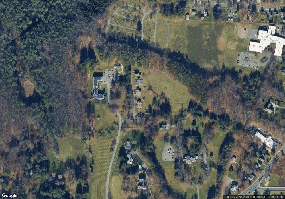
Map
Nearby Homes
- 9 Crane Ave
- 0 Crane Ave
- 66 Oak Street Extension
- 144 Kittredge Rd
- 18 Chestnut St
- 16 2nd St
- 82 Williamsburg Terrace
- 321 High St
- 90 Cheshire Rd
- 17 Kittredge Rd
- 63 Asci Dr
- 68 Howe Rd
- 1 Pondview Dr Unit C3
- 386 Cheshire Rd
- 0 Cheshire Rd
- 750 Main St
- 774 Main St
- 1106 South St
- 60 North St Unit 4
- 134 Oak Hill Rd