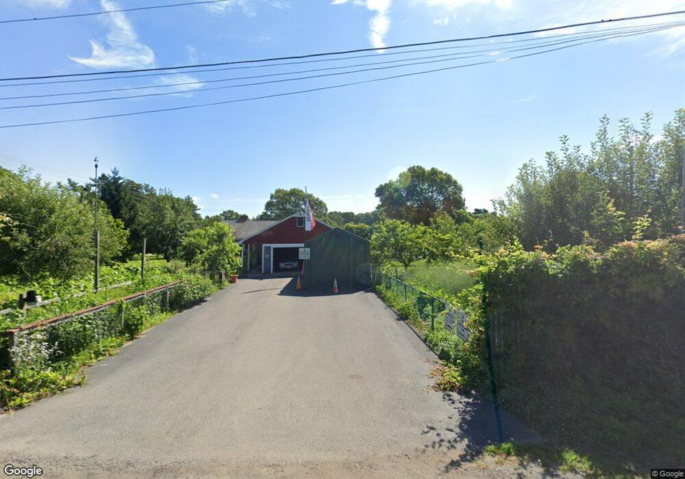
50 Maki Way West Wareham, MA 02576
Estimated Value: $640,000 - $780,000
3
Beds
2
Baths
2,654
Sq Ft
$268/Sq Ft
Est. Value
About This Home
This home is located at 50 Maki Way, West Wareham, MA 02576 and is currently estimated at $711,129, approximately $267 per square foot. 50 Maki Way is a home located in Plymouth County.
Ownership History
Date
Name
Owned For
Owner Type
Purchase Details
Closed on
Feb 25, 2011
Sold by
Hanlon Frank C
Bought by
Goldie Darilyn I and Goldie Corey R
Current Estimated Value
Home Financials for this Owner
Home Financials are based on the most recent Mortgage that was taken out on this home.
Original Mortgage
$224,169
Outstanding Balance
$153,736
Interest Rate
4.75%
Mortgage Type
FHA
Estimated Equity
$557,393
Purchase Details
Closed on
Jun 13, 2007
Sold by
Macki Rt and Trott Donald Keith
Bought by
Hanlon Frank C
Home Financials for this Owner
Home Financials are based on the most recent Mortgage that was taken out on this home.
Original Mortgage
$328,000
Interest Rate
6.19%
Mortgage Type
Purchase Money Mortgage
Create a Home Valuation Report for This Property
The Home Valuation Report is an in-depth analysis detailing your home's value as well as a comparison with similar homes in the area
Home Values in the Area
Average Home Value in this Area
Purchase History
| Date | Buyer | Sale Price | Title Company |
|---|---|---|---|
| Goldie Darilyn I | $230,000 | -- | |
| Goldie Darilyn I | $230,000 | -- | |
| Hanlon Frank C | $410,000 | -- | |
| Hanlon Frank C | $410,000 | -- |
Source: Public Records
Mortgage History
| Date | Status | Borrower | Loan Amount |
|---|---|---|---|
| Open | Goldie Darilyn I | $224,169 | |
| Closed | Hanlon Frank C | $224,169 | |
| Previous Owner | Hanlon Frank C | $328,000 | |
| Previous Owner | Hanlon Frank C | $61,500 |
Source: Public Records
Tax History Compared to Growth
Tax History
| Year | Tax Paid | Tax Assessment Tax Assessment Total Assessment is a certain percentage of the fair market value that is determined by local assessors to be the total taxable value of land and additions on the property. | Land | Improvement |
|---|---|---|---|---|
| 2025 | $6,616 | $634,900 | $145,100 | $489,800 |
| 2024 | $6,871 | $611,800 | $116,300 | $495,500 |
| 2023 | $5,978 | $544,000 | $107,100 | $436,900 |
| 2022 | $5,978 | $453,600 | $107,100 | $346,500 |
| 2021 | $5,886 | $437,600 | $107,100 | $330,500 |
| 2020 | $5,590 | $421,600 | $107,100 | $314,500 |
| 2019 | $5,575 | $419,500 | $112,400 | $307,100 |
| 2018 | $5,126 | $376,100 | $112,400 | $263,700 |
| 2017 | $4,948 | $367,900 | $112,400 | $255,500 |
| 2016 | $4,819 | $356,200 | $117,200 | $239,000 |
| 2015 | $4,656 | $356,200 | $117,200 | $239,000 |
| 2014 | $3,302 | $257,000 | $112,200 | $144,800 |
Source: Public Records
Map
Nearby Homes
- 55 Harvest Cir
- 46 Harvest Cir
- 53 Maki Way
- 8 Maki Way
- 57 Harvest Cir
- 54 Harvest Cir
- 14 Fellowship Cir
- 60 Harvest Cir
- 43 Harvest Cir
- 0 Maki Way
- 38 Harvest Cir
- 12 Fellowship Cir
- 10 Autumn Dr
- 26 Harvest Cir
- 13 Fellowship Cir
- 16 Harvest Cir
- 10 Fellowship Cir
- 11 Fellowship Cir
- 39 Harvest Cir
- 13 Harvest Cir
