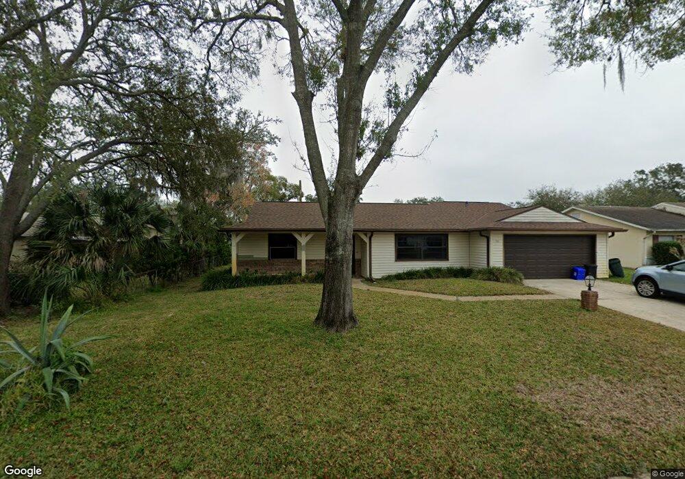
50 Mayfield Cir Ormond Beach, FL 32174
West Ormond Beach NeighborhoodEstimated Value: $316,905 - $364,000
3
Beds
2
Baths
2,044
Sq Ft
$164/Sq Ft
Est. Value
About This Home
This home is located at 50 Mayfield Cir, Ormond Beach, FL 32174 and is currently estimated at $335,226, approximately $164 per square foot. 50 Mayfield Cir is a home located in Volusia County with nearby schools including Tomoka Elementary School, David C. Hinson Sr. Middle School, and Mainland High School.
Ownership History
Date
Name
Owned For
Owner Type
Purchase Details
Closed on
Feb 14, 2001
Sold by
Roseti Peter and Roseti Doreen
Bought by
Andreoulas Peter J and Andreoulas Marie F
Current Estimated Value
Purchase Details
Closed on
Feb 15, 1988
Bought by
Andreoulas Peter J and Andreoulas Maria F
Purchase Details
Closed on
Jan 15, 1988
Bought by
Andreoulas Peter J and Andreoulas Maria F
Purchase Details
Closed on
Nov 15, 1982
Bought by
Andreoulas Peter J and Andreoulas Maria F
Purchase Details
Closed on
Aug 15, 1979
Bought by
Andreoulas Peter J and Andreoulas Maria F
Create a Home Valuation Report for This Property
The Home Valuation Report is an in-depth analysis detailing your home's value as well as a comparison with similar homes in the area
Home Values in the Area
Average Home Value in this Area
Purchase History
| Date | Buyer | Sale Price | Title Company |
|---|---|---|---|
| Andreoulas Peter J | $113,500 | -- | |
| Andreoulas Peter J | $38,000 | -- | |
| Andreoulas Peter J | $38,000 | -- | |
| Andreoulas Peter J | $63,600 | -- | |
| Andreoulas Peter J | $51,400 | -- |
Source: Public Records
Tax History
| Year | Tax Paid | Tax Assessment Tax Assessment Total Assessment is a certain percentage of the fair market value that is determined by local assessors to be the total taxable value of land and additions on the property. | Land | Improvement |
|---|---|---|---|---|
| 2026 | $1,588 | $143,243 | -- | -- |
| 2025 | $1,588 | $139,478 | -- | -- |
| 2024 | $1,468 | $135,548 | -- | -- |
| 2023 | $1,468 | $131,600 | $0 | $0 |
| 2022 | $1,411 | $127,767 | $0 | $0 |
| 2021 | $1,448 | $124,046 | $0 | $0 |
| 2020 | $1,421 | $122,333 | $0 | $0 |
| 2019 | $1,387 | $119,583 | $0 | $0 |
| 2018 | $1,386 | $117,353 | $0 | $0 |
| 2017 | $1,401 | $114,939 | $0 | $0 |
| 2016 | $1,410 | $112,575 | $0 | $0 |
| 2015 | $1,453 | $111,792 | $0 | $0 |
| 2014 | $1,441 | $110,905 | $0 | $0 |
Source: Public Records
Map
Nearby Homes
- 56 Horseshoe Falls Dr
- 66 Horseshoe Falls Dr
- 27 Horseshoe Falls Dr
- 29 Horseshoe Falls Dr
- 33 Horseshoe Falls Dr
- 68 Horseshoe Falls Dr
- 1 Rainbow Falls Dr
- 11 Rainbow Falls Dr
- 9 Hudson Falls Dr
- 19 Horseshoe Falls Dr
- 0 W Granada Blvd Unit 1206960
- 84 Horseshoe Falls Dr
- 284 Military Blvd
- 5 Sunset Falls Dr
- 53 Horseshoe Falls Dr
- 37 Sandpiper Cir
- 9 Soco Trail
- 94 Horseshoe Falls Dr
- 4 Horseshoe Falls Dr
- 22 Red Maple Cir
- 54 Mayfield Cir
- 23 Brookwood Ct
- 32 Mayfield Cir
- 51 Mayfield Cir
- 58 Mayfield Cir
- 47 Mayfield Cir
- 55 Mayfield Cir
- 19 Brookwood Ct
- 28 Mayfield Cir
- 43 Mayfield Cir
- 22 Brookwood Ct
- 59 Mayfield Cir
- 35 Mayfield Cir
- 24 Mayfield Cir
- 15 Brookwood Ct
- 39 Mayfield Cir
- 7 Southern Pine Trail
- 3 Southern Pine Trail
- 18 Brookwood Ct
- 27 Mayfield Cir
Your Personal Tour Guide
Ask me questions while you tour the home.