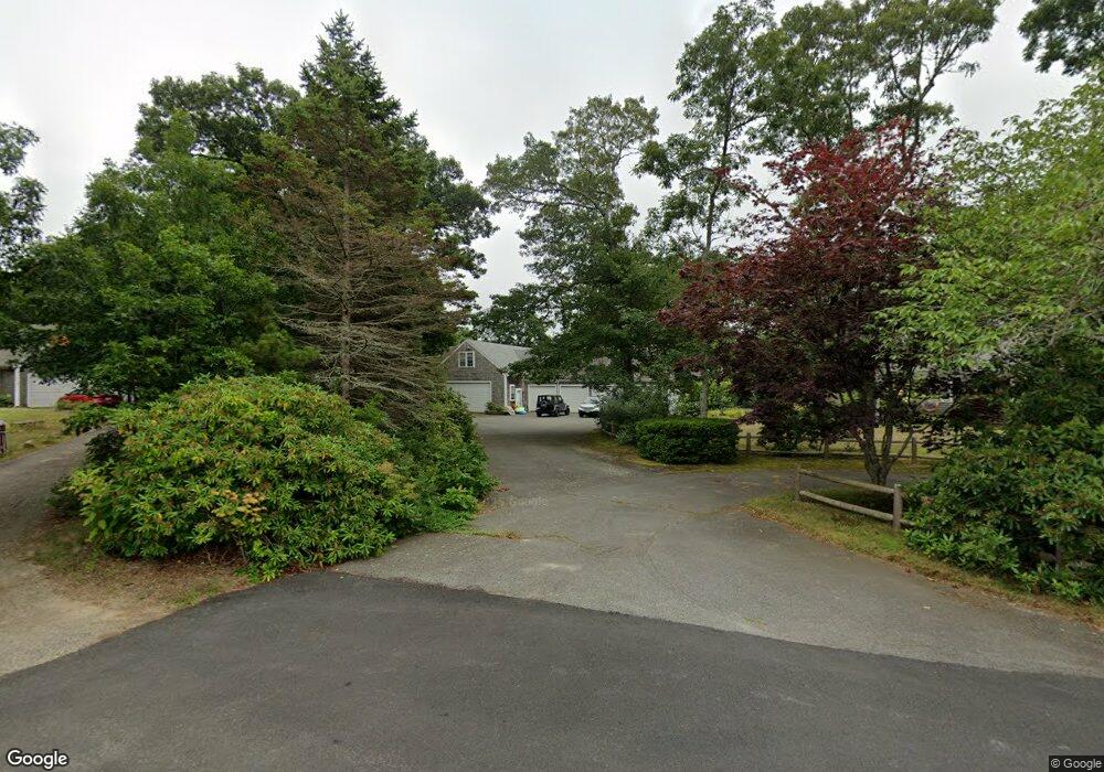
50 Mayflower Rd Eastham, MA 02642
Estimated Value: $705,000 - $1,008,000
3
Beds
2
Baths
1,752
Sq Ft
$513/Sq Ft
Est. Value
About This Home
This home is located at 50 Mayflower Rd, Eastham, MA 02642 and is currently estimated at $898,564, approximately $512 per square foot. 50 Mayflower Rd is a home located in Barnstable County with nearby schools including Eastham Elementary School, Nauset Regional Middle School, and Nauset Regional High School.
Ownership History
Date
Name
Owned For
Owner Type
Purchase Details
Closed on
Nov 19, 2024
Sold by
Ducey Jason W and Ducey Georgette E
Bought by
50 Mayflower Rd Rt and Ducey
Current Estimated Value
Purchase Details
Closed on
Nov 13, 2020
Sold by
Rosarie A Ducey Ret and Ducey
Bought by
Ducey Jason W and Ducey Georgette E
Create a Home Valuation Report for This Property
The Home Valuation Report is an in-depth analysis detailing your home's value as well as a comparison with similar homes in the area
Home Values in the Area
Average Home Value in this Area
Purchase History
| Date | Buyer | Sale Price | Title Company |
|---|---|---|---|
| 50 Mayflower Rd Rt | -- | None Available | |
| 50 Mayflower Rd Rt | -- | None Available | |
| Ducey Jason W | -- | None Available | |
| Ducey Jason W | -- | None Available |
Source: Public Records
Tax History Compared to Growth
Tax History
| Year | Tax Paid | Tax Assessment Tax Assessment Total Assessment is a certain percentage of the fair market value that is determined by local assessors to be the total taxable value of land and additions on the property. | Land | Improvement |
|---|---|---|---|---|
| 2025 | $6,966 | $903,500 | $329,100 | $574,400 |
| 2024 | $6,205 | $885,200 | $319,500 | $565,700 |
| 2023 | $5,841 | $806,800 | $295,900 | $510,900 |
| 2022 | $5,644 | $657,800 | $264,200 | $393,600 |
| 2021 | $5,557 | $605,300 | $240,100 | $365,200 |
| 2020 | $5,191 | $595,300 | $245,100 | $350,200 |
| 2019 | $4,605 | $558,200 | $216,300 | $341,900 |
| 2018 | $4,567 | $547,000 | $210,000 | $337,000 |
| 2017 | $4,242 | $537,000 | $205,900 | $331,100 |
| 2016 | $3,891 | $523,000 | $205,900 | $317,100 |
| 2015 | $3,637 | $512,200 | $201,800 | $310,400 |
Source: Public Records
Map
Nearby Homes
- 50 Arrowhead Rd
- 60 Mayflower Rd
- 40 Arrowhead Rd
- 40 Mayflower Rd
- 60 Arrowhead Rd
- 55 Mayflower Rd
- 0 Arrowhead Rd
- 10 Captain Jones Way
- 65 Anchor Way
- 55 Arrowhead Rd
- 45 Mayflower Rd
- 70 Arrowhead Rd
- 30 Arrowhead Rd
- 45 Arrowhead Rd
- 70 Anchor Way
- 75 Ships Lantern Rd
- 65 Arrowhead Rd
- 75 Ship's Lantern Rd
- 20 Arrowhead Rd
- 15 Helena Dr