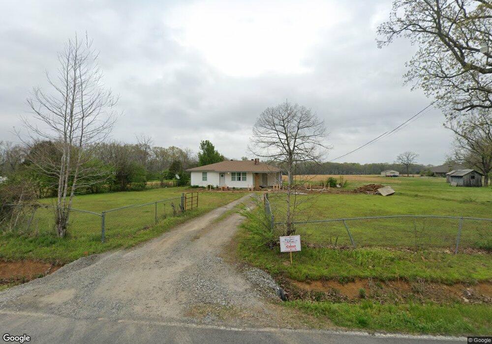
50 Mitchell Rd Sherwood, AR 72120
Estimated Value: $122,455 - $324,000
--
Bed
--
Bath
1,072
Sq Ft
$225/Sq Ft
Est. Value
About This Home
This home is located at 50 Mitchell Rd, Sherwood, AR 72120 and is currently estimated at $241,114, approximately $224 per square foot. 50 Mitchell Rd is a home with nearby schools including Mayflower Elementary School, Mayflower Middle School, and Mayflower High School.
Create a Home Valuation Report for This Property
The Home Valuation Report is an in-depth analysis detailing your home's value as well as a comparison with similar homes in the area
Home Values in the Area
Average Home Value in this Area
Tax History Compared to Growth
Tax History
| Year | Tax Paid | Tax Assessment Tax Assessment Total Assessment is a certain percentage of the fair market value that is determined by local assessors to be the total taxable value of land and additions on the property. | Land | Improvement |
|---|---|---|---|---|
| 2025 | $869 | $21,240 | $2,510 | $18,730 |
| 2024 | $836 | $21,240 | $2,510 | $18,730 |
| 2023 | $796 | $16,310 | $2,510 | $13,800 |
Source: Public Records
Map
Nearby Homes
- 1 Wesley Trail
- 00 Moon Rd
- 00 Melissa Ln
- 11908 Melissa Ln
- 9604 Sayles Rd
- 35 Friday Ln
- 48 Bridge Field Dr
- 41 Bridge Field Dr
- 14 Rose Ln
- 101 Quail Valley Rd
- 000 Jones Rd Unit Schrewsbury Road
- 196 Stone Mountain Rd
- 29 Amber Oaks
- 29 Meadows Ln
- 151 Stone Mountain Rd
- 8119 Dorsey Rd
- 514 Beryl Rd S
- 0 Allen Dr
- 00 Winding Branch Ln
- 14 Vista Trail
- 8 Mitchell Rd
- 46 Mitchell Rd
- 5 Honeysuckle Ln
- 50 Floy Mae Ln
- 35 Honeysuckle Ln
- 11 Buck Trail
- 793 Highway 89 S
- 18 S Buck Trail
- 781 Highway 89 S Unit A
- 781 Highway 89 S
- 798 Highway 89 S
- 786 Highway 89 S
- 759 Highway 89 S
- 0 Cato Rd Unit 10328283
- 0 Cato Rd Unit 20009580
- 0 Cato Rd Unit 19000942
- Lot 21 S Buck Trail
- 4 Cato Rd
- 0 Wesley Trail
- 26 Cato Fire Station Rd