50 Mohawk Trail Guilford, CT 06437
Estimated Value: $184,000 - $214,000
1
Bed
1
Bath
911
Sq Ft
$221/Sq Ft
Est. Value
About This Home
This home is located at 50 Mohawk Trail, Guilford, CT 06437 and is currently estimated at $201,215, approximately $220 per square foot. 50 Mohawk Trail is a home located in New Haven County with nearby schools including A. Baldwin Middle School, E.C. Adams Middle School, and Guilford High School.
Ownership History
Date
Name
Owned For
Owner Type
Purchase Details
Closed on
Aug 15, 2006
Sold by
Spooner Desiree
Bought by
Carter Peter S
Current Estimated Value
Home Financials for this Owner
Home Financials are based on the most recent Mortgage that was taken out on this home.
Original Mortgage
$152,000
Interest Rate
6.8%
Purchase Details
Closed on
Oct 31, 2001
Sold by
Murray Marc J and Murray Tammy M
Bought by
Fitzgerald Laurel
Purchase Details
Closed on
Apr 28, 1995
Sold by
Albany Sb
Bought by
Murray Marc J and Murray Tammy M
Purchase Details
Closed on
Oct 25, 1988
Sold by
Bliss Ainars
Bought by
Belval Leo P
Create a Home Valuation Report for This Property
The Home Valuation Report is an in-depth analysis detailing your home's value as well as a comparison with similar homes in the area
Home Values in the Area
Average Home Value in this Area
Purchase History
| Date | Buyer | Sale Price | Title Company |
|---|---|---|---|
| Carter Peter S | $152,000 | -- | |
| Fitzgerald Laurel | $75,000 | -- | |
| Murray Marc J | $55,000 | -- | |
| Belval Leo P | $106,000 | -- |
Source: Public Records
Mortgage History
| Date | Status | Borrower | Loan Amount |
|---|---|---|---|
| Open | Belval Leo P | $146,925 | |
| Closed | Belval Leo P | $152,000 | |
| Previous Owner | Belval Leo P | $112,000 |
Source: Public Records
Tax History
| Year | Tax Paid | Tax Assessment Tax Assessment Total Assessment is a certain percentage of the fair market value that is determined by local assessors to be the total taxable value of land and additions on the property. | Land | Improvement |
|---|---|---|---|---|
| 2025 | $2,547 | $92,120 | $0 | $92,120 |
| 2024 | $2,449 | $92,120 | $0 | $92,120 |
| 2023 | $2,384 | $92,120 | $0 | $92,120 |
| 2022 | $2,231 | $67,110 | $0 | $67,110 |
| 2021 | $2,189 | $67,110 | $0 | $67,110 |
| 2020 | $2,168 | $67,110 | $0 | $67,110 |
| 2019 | $2,150 | $67,110 | $0 | $67,110 |
| 2018 | $2,099 | $67,110 | $0 | $67,110 |
| 2017 | $2,179 | $74,230 | $0 | $74,230 |
| 2016 | $2,128 | $74,230 | $0 | $74,230 |
| 2015 | $2,096 | $74,230 | $0 | $74,230 |
| 2014 | $2,035 | $74,230 | $0 | $74,230 |
Source: Public Records
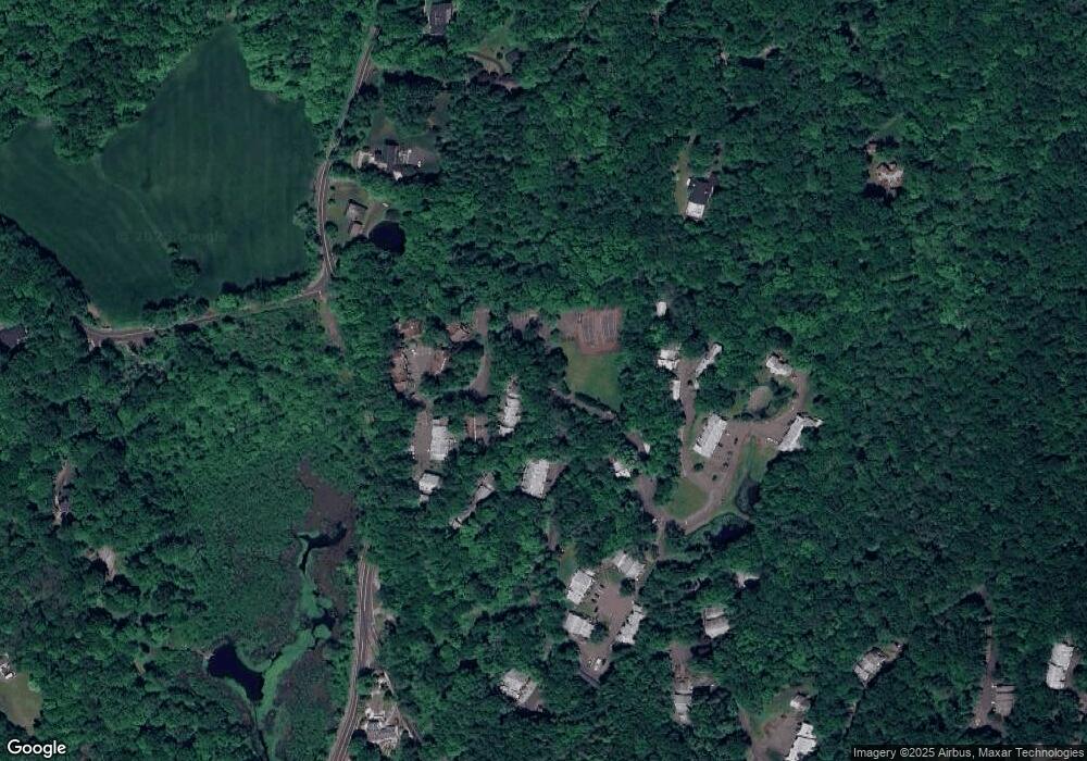
Map
Nearby Homes
- 66 Mohawk Trail Unit 66
- 42 Saginaw Trail Unit 42
- 19 Polpis Ln
- 104 Wauwinet Trail
- 95 Wauwinet Trail Unit 95
- 603 Lake Dr
- 448 Lake Dr
- 147 Blue Hills Dr
- 4 Jans Way
- 286 Weatherly Trail
- 1877 Middletown Ave
- 24 Evergreen Rd
- 246 Reeds Gap Rd Unit 1D
- 154 Wilburs Ln
- 25 Route 79
- 0 Dinatale Dr
- 89 S End Ave
- 322 Tuttle Rd
- 280 Tuttle Rd
- 126 Cooke Rd
- 48 Mohawk Trail
- 48 Mohawk Trail Unit BLD29
- 48 Mohawk Trail Unit 48
- 42 Mohawk Trail
- 42 Mohawk Trail Unit 42
- 46 Mohawk Trail
- 44 Mohawk Trail
- 46 Mohawk Trail Unit 46
- 52 Mohawk Trail
- 40 Mohawk Trail
- 40 Mohawk Trail Unit 40
- 41 Mohawk Trail
- 41 Mohawk Trail Unit 41
- 33 Mohawk Trail
- 37 Mohawk Trail
- 39 Mohawk Trail
- 35 Mohawk Trail
- 33 Mohawk Trail Unit BLD35
- 33 Mohawk Trail Unit 33
- 35 Mohawk Trail Unit 35
Your Personal Tour Guide
Ask me questions while you tour the home.