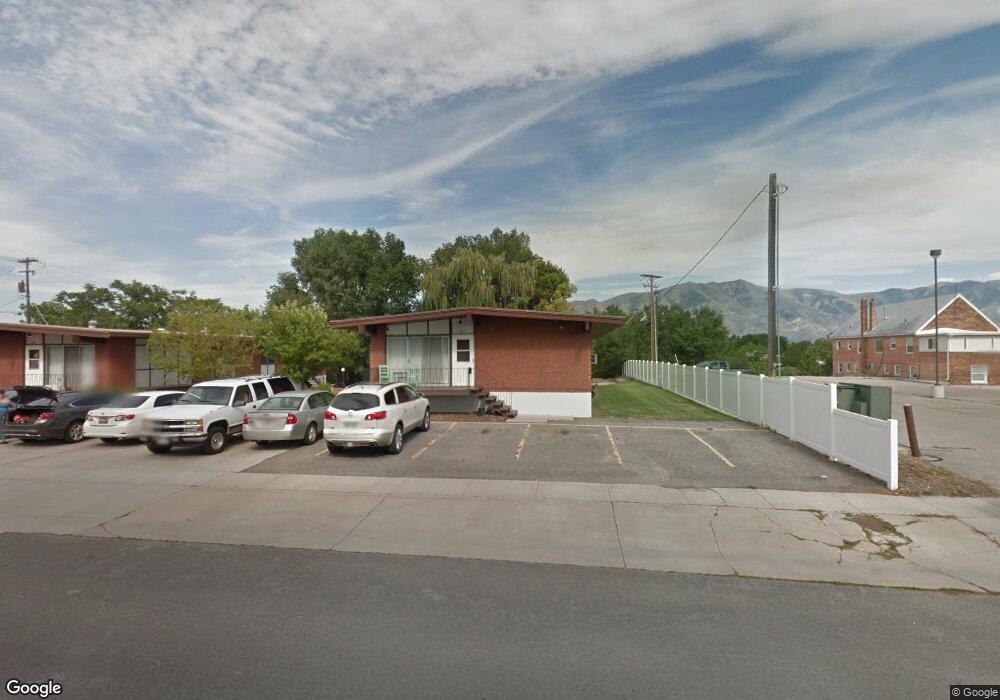
50 N 200 E Unit C Tremonton, UT 84337
Estimated Value: $457,000 - $623,914
2
Beds
1
Bath
2,044
Sq Ft
$273/Sq Ft
Est. Value
About This Home
This home is located at 50 N 200 E Unit C, Tremonton, UT 84337 and is currently estimated at $558,729, approximately $273 per square foot. 50 N 200 E Unit C is a home located in Box Elder County with nearby schools including North Park School, Bear River Middle School, and Alice C. Harris Intermediate School.
Ownership History
Date
Name
Owned For
Owner Type
Purchase Details
Closed on
Jan 23, 2012
Sold by
Vance Lyle C and Vance Kaylene A
Bought by
Petersen Tyson Nick and Petersen Eva
Current Estimated Value
Home Financials for this Owner
Home Financials are based on the most recent Mortgage that was taken out on this home.
Original Mortgage
$210,015
Outstanding Balance
$143,082
Interest Rate
3.85%
Mortgage Type
FHA
Estimated Equity
$415,647
Create a Home Valuation Report for This Property
The Home Valuation Report is an in-depth analysis detailing your home's value as well as a comparison with similar homes in the area
Home Values in the Area
Average Home Value in this Area
Purchase History
| Date | Buyer | Sale Price | Title Company |
|---|---|---|---|
| Petersen Tyson Nick | -- | Box Elder Land Title Com |
Source: Public Records
Mortgage History
| Date | Status | Borrower | Loan Amount |
|---|---|---|---|
| Open | Petersen Tyson Nick | $210,015 |
Source: Public Records
Tax History Compared to Growth
Tax History
| Year | Tax Paid | Tax Assessment Tax Assessment Total Assessment is a certain percentage of the fair market value that is determined by local assessors to be the total taxable value of land and additions on the property. | Land | Improvement |
|---|---|---|---|---|
| 2025 | $4,012 | $629,280 | $105,000 | $524,280 |
| 2024 | $4,012 | $680,400 | $105,000 | $575,400 |
| 2023 | $2,422 | $403,500 | $100,000 | $303,500 |
| 2022 | $1,932 | $333,500 | $30,000 | $303,500 |
| 2021 | $2,176 | $282,900 | $30,000 | $252,900 |
| 2020 | $1,871 | $282,900 | $30,000 | $252,900 |
| 2019 | $1,928 | $155,595 | $16,500 | $139,095 |
| 2018 | $1,433 | $107,554 | $107,554 | $0 |
| 2017 | $1,504 | $195,552 | $107,554 | $0 |
| 2016 | $1,540 | $107,554 | $13,750 | $93,804 |
| 2015 | $1,572 | $107,554 | $13,750 | $93,804 |
| 2014 | $1,572 | $107,554 | $13,750 | $93,804 |
| 2013 | -- | $107,554 | $13,338 | $94,216 |
Source: Public Records
Map
Nearby Homes
- 137 N 870 E
- 155 E 300 N
- 518 E 40 S
- 236 S Tremont St
- 524 N 100 E
- 144 S 100 W
- 635 E 240 N Unit 9
- 635 E 240 N
- 225 E 600 N
- 311 S 100 W
- 1286 E 240 N Unit 15
- 3 W 600 N
- Auburn Plan at River's Edge - Tremonton
- Aberdeen Plan at River's Edge - Tremonton
- Glendale Plan at River's Edge - Tremonton
- Lyndhurst Plan at River's Edge - Tremonton
- Sumac Plan at River's Edge - Tremonton
- Redwood Plan at River's Edge - Tremonton
- Summerlyn Plan at River's Edge - Tremonton
- Fairview Plan at River's Edge - Tremonton