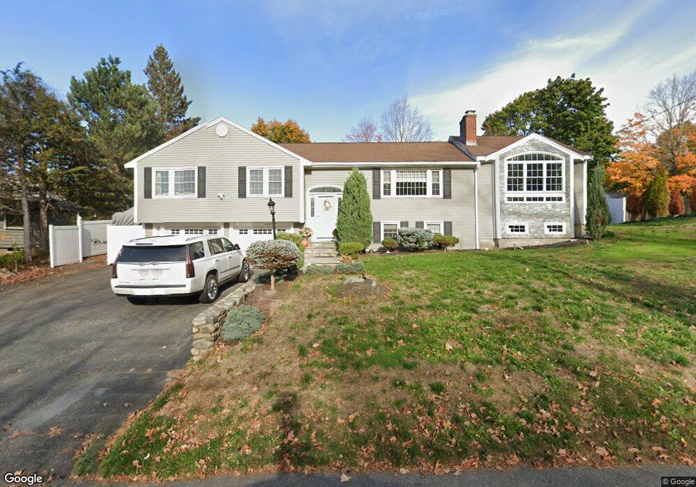
50 Old Nahant Rd Wakefield, MA 01880
Woodville NeighborhoodEstimated Value: $878,637 - $943,000
3
Beds
3
Baths
2,000
Sq Ft
$458/Sq Ft
Est. Value
About This Home
This home is located at 50 Old Nahant Rd, Wakefield, MA 01880 and is currently estimated at $916,909, approximately $458 per square foot. 50 Old Nahant Rd is a home located in Middlesex County with nearby schools including Wakefield Memorial High School, St Joseph School, and Odyssey Day School.
Ownership History
Date
Name
Owned For
Owner Type
Purchase Details
Closed on
Apr 26, 2010
Sold by
Wells Fargo Bk
Bought by
Bourikas Gina and Bourikas Konstantine
Current Estimated Value
Purchase Details
Closed on
Jun 11, 2009
Sold by
Bulla Robert and Wells Fargo Bk
Bought by
Wells Fargo Bk
Purchase Details
Closed on
Jul 1, 2005
Sold by
Kasatkin Barbara Est and Gallant
Bought by
Decision One Mtg Co Ll and Bulla
Create a Home Valuation Report for This Property
The Home Valuation Report is an in-depth analysis detailing your home's value as well as a comparison with similar homes in the area
Home Values in the Area
Average Home Value in this Area
Purchase History
| Date | Buyer | Sale Price | Title Company |
|---|---|---|---|
| Bourikas Gina | $355,000 | -- | |
| Wells Fargo Bk | $278,000 | -- | |
| Decision One Mtg Co Ll | $419,900 | -- |
Source: Public Records
Tax History Compared to Growth
Tax History
| Year | Tax Paid | Tax Assessment Tax Assessment Total Assessment is a certain percentage of the fair market value that is determined by local assessors to be the total taxable value of land and additions on the property. | Land | Improvement |
|---|---|---|---|---|
| 2025 | $8,572 | $755,200 | $400,500 | $354,700 |
| 2024 | $8,098 | $719,800 | $381,700 | $338,100 |
| 2023 | $8,115 | $691,800 | $366,800 | $325,000 |
| 2022 | $7,821 | $634,800 | $336,600 | $298,200 |
| 2021 | $7,441 | $584,500 | $291,100 | $293,400 |
| 2020 | $7,094 | $555,500 | $276,600 | $278,900 |
| 2019 | $6,879 | $536,200 | $267,000 | $269,200 |
| 2018 | $6,630 | $512,000 | $255,000 | $257,000 |
| 2017 | $6,200 | $475,800 | $240,600 | $235,200 |
| 2016 | $5,594 | $414,700 | $212,700 | $202,000 |
| 2015 | $5,387 | $399,600 | $208,700 | $190,900 |
| 2014 | $5,007 | $391,800 | $204,600 | $187,200 |
Source: Public Records
Map
Nearby Homes
- 70 Old Nahant Rd
- 6 Castle Clare Cir
- 8 Everett St
- 9 Lilah Cir
- 199 Nahant St
- 14 Sycamore Rd
- 1 Millbrook Ln Unit 304
- 18 Crosby Rd
- 95 Greenwood Ave
- 134 Nahant St Unit B
- 1 Sidney St
- 5 Bateman Ct Unit 5
- 314 Water St Unit 5
- 38 Bennett St Unit 3D
- 762 Main St
- 772 Main St Unit 2
- 35 Richardson St Unit 2
- 6 Blue Jay Cir Unit 2
- 22 Jefferson Rd
- 15 Shore Rd
- 44 Old Nahant Rd
- 51 Old Nahant Rd
- 47 Old Nahant Rd
- 7 Pheasantwood Dr
- 54 Old Nahant Rd
- 141 Farm St
- 42 Old Nahant Rd
- 137 Farm St
- 145 Farm St
- 6 Reynolds Rd
- 58 Old Nahant Rd
- 129 Farm St
- 5 Reynolds Rd
- 38 Old Nahant Rd
- 149 Farm St
- 41 Old Nahant Rd
- 4 Pheasantwood Dr
- 62 Old Nahant Rd
- 10 Reynolds Rd
- 9 Reynolds Rd