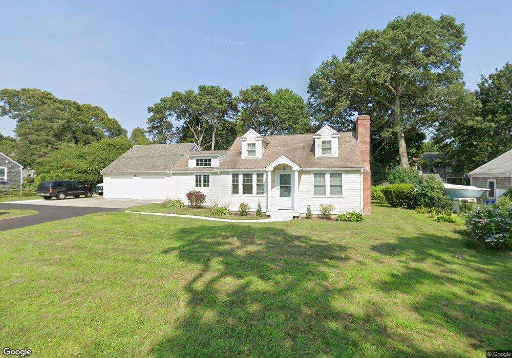
50 Olney Rd Buzzards Bay, MA 02532
Estimated Value: $637,000 - $727,000
2
Beds
2
Baths
1,443
Sq Ft
$477/Sq Ft
Est. Value
About This Home
This home is located at 50 Olney Rd, Buzzards Bay, MA 02532 and is currently estimated at $687,722, approximately $476 per square foot. 50 Olney Rd is a home located in Barnstable County with nearby schools including Bourne High School, St Margaret Regional School, and Cadence Academy Preschool - Bourne.
Ownership History
Date
Name
Owned For
Owner Type
Purchase Details
Closed on
Jun 25, 2025
Sold by
Wilkie Brian and Belli-Wilkie Arlene M
Bought by
50 Or Llc
Current Estimated Value
Purchase Details
Closed on
Apr 15, 2022
Sold by
Andres A Hiltuneh T A and Andres Hiltunen
Bought by
Wilkie Brian and Belli-Wilkie Arlene M
Purchase Details
Closed on
Sep 11, 1997
Sold by
Mary Owen Bllard T and Ballard Benjamin H
Bought by
Hiltunen Andrew A and Hiltunen Marcia L
Create a Home Valuation Report for This Property
The Home Valuation Report is an in-depth analysis detailing your home's value as well as a comparison with similar homes in the area
Purchase History
| Date | Buyer | Sale Price | Title Company |
|---|---|---|---|
| 50 Or Llc | -- | -- | |
| 50 Or Llc | -- | -- | |
| Wilkie Brian | $575,000 | None Available | |
| Wilkie Brian | $575,000 | None Available | |
| Hiltunen Andrew A | $118,000 | -- | |
| Hiltunen Andrew A | $118,000 | -- |
Source: Public Records
Tax History
| Year | Tax Paid | Tax Assessment Tax Assessment Total Assessment is a certain percentage of the fair market value that is determined by local assessors to be the total taxable value of land and additions on the property. | Land | Improvement |
|---|---|---|---|---|
| 2025 | $5,220 | $668,400 | $249,800 | $418,600 |
| 2024 | $5,274 | $657,600 | $237,900 | $419,700 |
| 2023 | $5,097 | $578,500 | $210,500 | $368,000 |
| 2022 | $4,826 | $478,300 | $186,300 | $292,000 |
| 2021 | $4,689 | $435,400 | $169,600 | $265,800 |
| 2020 | $4,373 | $407,200 | $168,000 | $239,200 |
| 2019 | $4,333 | $412,300 | $186,600 | $225,700 |
| 2018 | $4,141 | $392,900 | $177,800 | $215,100 |
| 2017 | $4,008 | $389,100 | $176,100 | $213,000 |
| 2016 | $3,693 | $363,500 | $158,500 | $205,000 |
| 2015 | $3,424 | $340,000 | $135,000 | $205,000 |
Source: Public Records
Map
Nearby Homes
- 60 Bourne Neck Dr
- 35 Benedict Rd
- 5 Zoli Ln
- 46 Holt Rd Unit B
- 46 Holt Rd
- 40-A Lafayette Ave
- 4 Van Bummel Rd
- 203 County Rd
- 13 Laurel Hill Ct
- 56 Rip Van Winkle Way
- 44 Cotuit Rd
- 2 Applewood Ct
- 5 Sea Knoll Ct
- 60 Sandwich Rd
- 38 Old Bridge Rd
- 3 Honora Ln Unit 3
- 6 Honora Ct
- 3 Fairway Dr Unit F
- 12 Turnberry Rd Unit 12
- 304 Main St
Your Personal Tour Guide
Ask me questions while you tour the home.