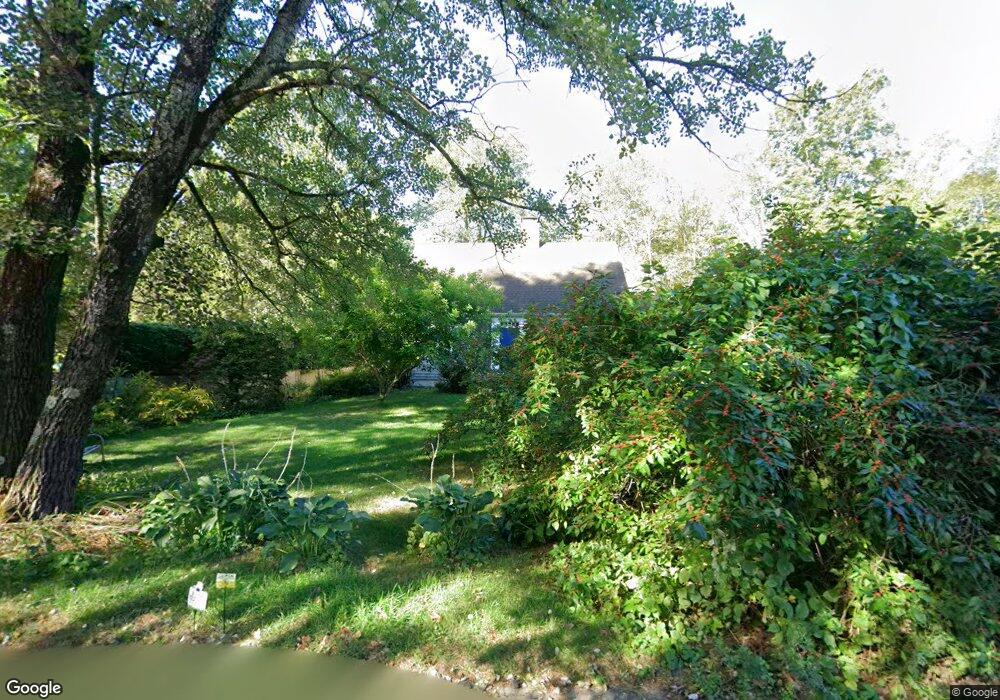
50 Otis St Lancaster, MA 01523
Estimated Value: $668,775 - $765,000
3
Beds
3
Baths
2,114
Sq Ft
$333/Sq Ft
Est. Value
About This Home
This home is located at 50 Otis St, Lancaster, MA 01523 and is currently estimated at $703,944, approximately $332 per square foot. 50 Otis St is a home located in Worcester County with nearby schools including Mary Rowlandson Elementary School, Luther Burbank Middle School, and Nashoba Regional High School.
Ownership History
Date
Name
Owned For
Owner Type
Purchase Details
Closed on
Aug 9, 2013
Sold by
Caesar John P
Bought by
Christie K Caesar Int
Current Estimated Value
Purchase Details
Closed on
Apr 25, 2013
Sold by
Christie K Caesar Int
Bought by
Caesar John P
Purchase Details
Closed on
Jan 16, 2013
Sold by
Caesar John P and Caesar Christie B
Bought by
Christie K Caesar Int
Purchase Details
Closed on
Oct 27, 1994
Sold by
Burgoyne Doreen Est
Bought by
Caesar John and Caesar Christine
Purchase Details
Closed on
May 18, 1994
Sold by
Doreen Bourgoyne Est
Bought by
Caesar John P and Caesar Christie
Create a Home Valuation Report for This Property
The Home Valuation Report is an in-depth analysis detailing your home's value as well as a comparison with similar homes in the area
Home Values in the Area
Average Home Value in this Area
Purchase History
| Date | Buyer | Sale Price | Title Company |
|---|---|---|---|
| Christie K Caesar Int | -- | -- | |
| Caesar John P | -- | -- | |
| Christie K Caesar Int | -- | -- | |
| Caesar John | $178,000 | -- | |
| Caesar John P | $178,000 | -- |
Source: Public Records
Mortgage History
| Date | Status | Borrower | Loan Amount |
|---|---|---|---|
| Previous Owner | Caesar John P | $95,000 | |
| Previous Owner | Caesar John P | $66,000 |
Source: Public Records
Tax History Compared to Growth
Tax History
| Year | Tax Paid | Tax Assessment Tax Assessment Total Assessment is a certain percentage of the fair market value that is determined by local assessors to be the total taxable value of land and additions on the property. | Land | Improvement |
|---|---|---|---|---|
| 2025 | $9,904 | $612,900 | $105,800 | $507,100 |
| 2024 | $9,980 | $571,600 | $98,500 | $473,100 |
| 2023 | $9,527 | $554,200 | $89,600 | $464,600 |
| 2022 | $8,729 | $448,800 | $92,900 | $355,900 |
| 2021 | $8,434 | $422,100 | $92,900 | $329,200 |
| 2020 | $7,698 | $387,800 | $92,900 | $294,900 |
| 2019 | $7,244 | $366,800 | $92,900 | $273,900 |
| 2018 | $6,843 | $342,500 | $92,900 | $249,600 |
| 2016 | $6,127 | $313,400 | $92,100 | $221,300 |
| 2015 | $5,842 | $311,400 | $92,100 | $219,300 |
| 2014 | $5,580 | $295,100 | $92,100 | $203,000 |
Source: Public Records
Map
Nearby Homes
- 0 Main St
- 18 Burbank Ln
- 303 Ponakin Rd
- 2038-1 Laurel Hill Ln
- 2038 Laurel Hill Ln Unit LOT 18
- 2237 Main St
- 765 Brockelman Road Lot C
- 85 Prescott St
- 136 Narrow Ln
- 22 Kettle Hole Rd
- 132 Kilbourn Rd
- 51 Kilbourn Rd
- 1497 Lunenburg Rd
- 29 Bennett Ln
- 453 Blue Heron Dr Unit 453
- 92 Mill St
- 285 Still River Rd
- 0 Brockelman Rd Unit 73424117
- 121 Sylvan Rd
- 63 Settlers Path
- 1 Buttonwood Ln
- 58 Otis St
- 59 Otis St
- 41 Otis St
- 1317 Main St
- 9 Lunenburg Rd
- 19 Lunenburg Rd
- 27 Otis St
- 97 Otis St
- 89 Otis St
- 1331B Main St Unit B
- 1331 Main St Unit B
- 1331 Main St Unit C
- 1331 Main St Unit D
- 1331 Main St Unit A
- 1331C Main St Unit C
- 1331A Main St Unit A
- 1331D Main St Unit D
- 1331 Main St
- Unit 57 Blue Heron Pond Unit 57