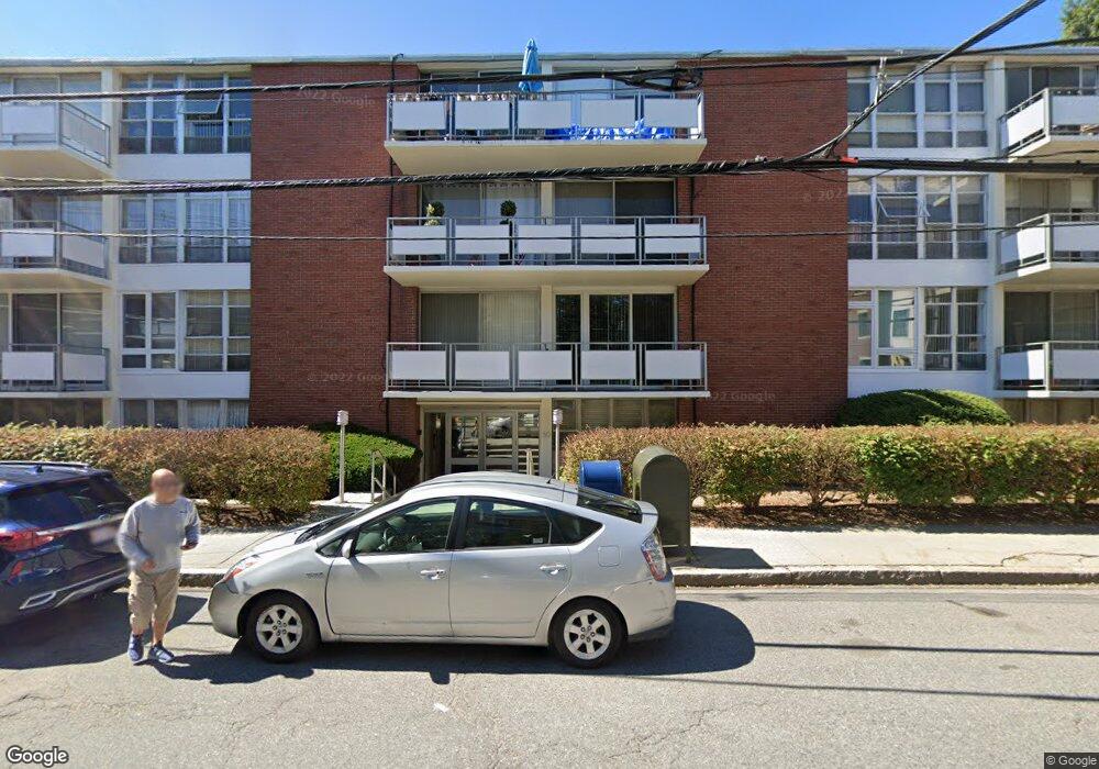
50 Park St Unit 34 Brookline, MA 02446
Coolidge Corner NeighborhoodEstimated Value: $586,000 - $684,000
1
Bed
1
Bath
890
Sq Ft
$701/Sq Ft
Est. Value
About This Home
This home is located at 50 Park St Unit 34, Brookline, MA 02446 and is currently estimated at $624,092, approximately $701 per square foot. 50 Park St Unit 34 is a home located in Norfolk County with nearby schools including Pierce School and St. Mary of the Assumption Elementary School.
Ownership History
Date
Name
Owned For
Owner Type
Purchase Details
Closed on
Nov 19, 2012
Sold by
Vaysburd Abram and Vaysburd Diana
Bought by
Lopatin Yelena
Current Estimated Value
Purchase Details
Closed on
Apr 14, 1992
Sold by
Laor Yehuda G and Laor Yona S
Bought by
Vaysburd Abram and Vaysburd Diana
Home Financials for this Owner
Home Financials are based on the most recent Mortgage that was taken out on this home.
Original Mortgage
$96,000
Interest Rate
8.73%
Mortgage Type
Purchase Money Mortgage
Create a Home Valuation Report for This Property
The Home Valuation Report is an in-depth analysis detailing your home's value as well as a comparison with similar homes in the area
Home Values in the Area
Average Home Value in this Area
Purchase History
| Date | Buyer | Sale Price | Title Company |
|---|---|---|---|
| Lopatin Yelena | -- | -- | |
| Vaysburd Abram | $120,000 | -- |
Source: Public Records
Mortgage History
| Date | Status | Borrower | Loan Amount |
|---|---|---|---|
| Previous Owner | Vaysburd Abram | $86,100 | |
| Previous Owner | Vaysburd Abram | $96,000 |
Source: Public Records
Tax History Compared to Growth
Tax History
| Year | Tax Paid | Tax Assessment Tax Assessment Total Assessment is a certain percentage of the fair market value that is determined by local assessors to be the total taxable value of land and additions on the property. | Land | Improvement |
|---|---|---|---|---|
| 2025 | $6,200 | $628,200 | $0 | $628,200 |
| 2024 | $6,017 | $615,900 | $0 | $615,900 |
| 2023 | $5,967 | $598,500 | $0 | $598,500 |
| 2022 | $5,979 | $586,800 | $0 | $586,800 |
| 2021 | $5,694 | $581,000 | $0 | $581,000 |
| 2020 | $5,437 | $575,300 | $0 | $575,300 |
| 2019 | $5,134 | $547,900 | $0 | $547,900 |
| 2018 | $4,928 | $520,900 | $0 | $520,900 |
| 2017 | $4,765 | $482,300 | $0 | $482,300 |
| 2016 | $4,569 | $438,500 | $0 | $438,500 |
| 2015 | $4,257 | $398,600 | $0 | $398,600 |
| 2014 | $4,082 | $358,400 | $0 | $358,400 |
Source: Public Records
Map
Nearby Homes
- 80 Park St Unit 23
- 80 Vernon St Unit 1-A
- 80 Vernon St Unit 2B
- 80 Vernon St Unit PHA
- 80 Vernon St Unit 3A
- 80 Vernon St Unit 3B
- 57 Harvard Ave Unit 1
- 24 Auburn St Unit 1
- 24 Auburn St Unit 2
- 24 Auburn St Unit 3
- 5 Auburn Ct Unit 1
- 89 Marion St
- 21 Hancock Rd
- 9 Greenough St
- 1471 Beacon St Unit 7
- 1471 Beacon St Unit 1
- 15 Short St Unit 4
- 589-591 Washington St
- 19 Winchester St Unit 110
- 71 Greenough St Unit 71-1
- 50 Park St Unit 3
- 50 Park St Unit 10
- 50 Park St Unit 48
- 50 Park St Unit 47
- 50 Park St Unit 46
- 50 Park St Unit 45
- 50 Park St Unit 44
- 50 Park St Unit 43
- 50 Park St Unit 42
- 50 Park St Unit 41
- 50 Park St Unit 38
- 50 Park St Unit 37
- 50 Park St Unit 36
- 50 Park St Unit 35
- 50 Park St Unit 33
- 50 Park St Unit 32
- 50 Park St Unit 31
- 50 Park St Unit 28
- 50 Park St Unit 27
- 50 Park St Unit 26