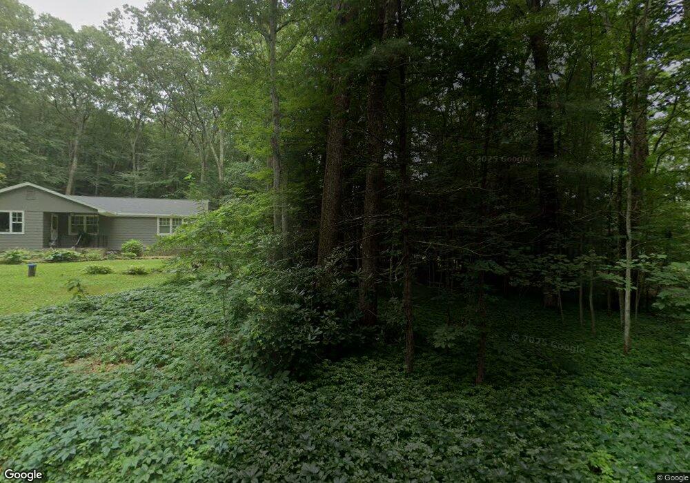
50 Pendleton Rd Granby, CT 06035
Estimated Value: $273,064 - $331,000
2
Beds
1
Bath
972
Sq Ft
$316/Sq Ft
Est. Value
About This Home
This home is located at 50 Pendleton Rd, Granby, CT 06035 and is currently estimated at $307,016, approximately $315 per square foot. 50 Pendleton Rd is a home located in Hartford County with nearby schools including Kelly Lane Primary School, Granby Memorial Middle School, and Granby Memorial High School.
Ownership History
Date
Name
Owned For
Owner Type
Purchase Details
Closed on
Aug 29, 2019
Sold by
Baber Theresa M
Bought by
Sawyer Kay P and Baber Theresa M
Current Estimated Value
Purchase Details
Closed on
Oct 2, 2000
Sold by
Makaravitz Ralph and Makaravitz Evelyn
Bought by
Baber Theresa
Home Financials for this Owner
Home Financials are based on the most recent Mortgage that was taken out on this home.
Original Mortgage
$98,000
Interest Rate
7.94%
Create a Home Valuation Report for This Property
The Home Valuation Report is an in-depth analysis detailing your home's value as well as a comparison with similar homes in the area
Home Values in the Area
Average Home Value in this Area
Purchase History
| Date | Buyer | Sale Price | Title Company |
|---|---|---|---|
| Sawyer Kay P | -- | -- | |
| Sawyer Kay P | -- | -- | |
| Baber Theresa | $123,000 | -- | |
| Baber Theresa | $123,000 | -- |
Source: Public Records
Mortgage History
| Date | Status | Borrower | Loan Amount |
|---|---|---|---|
| Previous Owner | Baber Theresa | $98,000 |
Source: Public Records
Tax History
| Year | Tax Paid | Tax Assessment Tax Assessment Total Assessment is a certain percentage of the fair market value that is determined by local assessors to be the total taxable value of land and additions on the property. | Land | Improvement |
|---|---|---|---|---|
| 2025 | $5,161 | $150,850 | $51,100 | $99,750 |
| 2024 | $4,998 | $150,850 | $51,100 | $99,750 |
| 2023 | $4,811 | $150,850 | $51,100 | $99,750 |
| 2022 | $4,355 | $108,920 | $44,100 | $64,820 |
| 2021 | $4,314 | $108,920 | $44,100 | $64,820 |
| 2020 | $4,314 | $108,920 | $44,100 | $64,820 |
| 2019 | $4,314 | $108,920 | $44,100 | $64,820 |
| 2018 | $4,214 | $108,920 | $44,100 | $64,820 |
| 2017 | $4,045 | $106,610 | $44,100 | $62,510 |
| 2016 | $3,938 | $106,610 | $44,100 | $62,510 |
| 2015 | $3,861 | $106,610 | $44,100 | $62,510 |
| 2014 | $3,787 | $106,610 | $44,100 | $62,510 |
Source: Public Records
Map
Nearby Homes
- 33 Muriel Dr
- 32 Rushford Meade Unit 32
- 110 W Granby Rd
- 41 E Granby Rd
- 23 Chatsworth Rd
- 21 Intervale Rd
- 277 N Granby Rd
- 102 Petersen Rd
- 77R Old Stagecoach Rd
- 192 Day St
- 37 Salmon Brook St
- 15 Winhart Dr
- 20 W Lakeview Dr
- 4 Kearns Cir
- 54 Notch Rd
- 186 Day St
- 190 Day St
- 279 N Granby Rd
- 281 N Granby Rd
- 206 Day St
- 28 Woodcliff Dr
- 51 Pendleton Rd
- 46 Pendleton Rd
- 47 Pendleton Rd
- 49 Pendleton Rd
- 45 Pendleton Rd
- 30 Woodcliff Dr
- 26 Woodcliff Dr
- 25 Woodcliff Dr
- 42 Pendleton Rd
- 41 Pendleton Rd
- 32 Woodcliff Dr
- 24 Woodcliff Dr
- 33 Woodcliff Dr
- 21 Woodcliff Dr
- 38 Pendleton Rd
- 37 Pendleton Rd
- 20 Woodcliff Dr
- 36 Woodcliff Dr
- 37 Woodcliff Dr
Your Personal Tour Guide
Ask me questions while you tour the home.