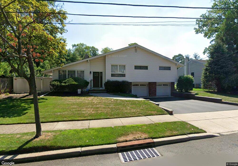
50 Pyle St Oradell, NJ 07649
Estimated Value: $861,815 - $1,045,000
--
Bed
--
Bath
2,210
Sq Ft
$432/Sq Ft
Est. Value
About This Home
This home is located at 50 Pyle St, Oradell, NJ 07649 and is currently estimated at $954,204, approximately $431 per square foot. 50 Pyle St is a home located in Bergen County with nearby schools including Oradell Elementary School, River Dell Middle School, and River Dell Regional High School.
Ownership History
Date
Name
Owned For
Owner Type
Purchase Details
Closed on
Apr 29, 2010
Sold by
Hsiao Ting and Wang Yuan
Bought by
Chang Eric and Chang Jean
Current Estimated Value
Home Financials for this Owner
Home Financials are based on the most recent Mortgage that was taken out on this home.
Original Mortgage
$410,000
Interest Rate
4.82%
Mortgage Type
Purchase Money Mortgage
Purchase Details
Closed on
Jul 30, 2001
Sold by
Walker Louis C
Bought by
Hsiao Ting and Wang Yuan
Home Financials for this Owner
Home Financials are based on the most recent Mortgage that was taken out on this home.
Original Mortgage
$250,000
Interest Rate
7.14%
Purchase Details
Closed on
Jun 15, 1999
Sold by
Aruta Laura J
Bought by
Walker Ii Louis C
Home Financials for this Owner
Home Financials are based on the most recent Mortgage that was taken out on this home.
Original Mortgage
$226,400
Interest Rate
7.09%
Mortgage Type
Stand Alone First
Create a Home Valuation Report for This Property
The Home Valuation Report is an in-depth analysis detailing your home's value as well as a comparison with similar homes in the area
Home Values in the Area
Average Home Value in this Area
Purchase History
| Date | Buyer | Sale Price | Title Company |
|---|---|---|---|
| Chang Eric | $530,000 | -- | |
| Hsiao Ting | $350,000 | -- | |
| Walker Ii Louis C | $283,000 | -- |
Source: Public Records
Mortgage History
| Date | Status | Borrower | Loan Amount |
|---|---|---|---|
| Previous Owner | Chang Eric | $410,000 | |
| Previous Owner | Hsiao Ting | $250,000 | |
| Previous Owner | Walker Ii Louis C | $226,400 |
Source: Public Records
Tax History Compared to Growth
Tax History
| Year | Tax Paid | Tax Assessment Tax Assessment Total Assessment is a certain percentage of the fair market value that is determined by local assessors to be the total taxable value of land and additions on the property. | Land | Improvement |
|---|---|---|---|---|
| 2025 | $15,744 | $728,600 | $394,000 | $334,600 |
| 2024 | $15,362 | $578,400 | $281,100 | $297,300 |
| 2023 | $14,720 | $575,800 | $280,000 | $295,800 |
| 2022 | $14,720 | $550,500 | $270,000 | $280,500 |
| 2021 | $14,671 | $524,700 | $256,000 | $268,700 |
| 2020 | $14,409 | $521,500 | $254,500 | $267,000 |
| 2019 | $14,223 | $510,500 | $248,500 | $262,000 |
| 2018 | $13,914 | $506,900 | $250,000 | $256,900 |
| 2017 | $13,529 | $500,700 | $246,000 | $254,700 |
| 2016 | $13,014 | $437,300 | $228,000 | $209,300 |
| 2015 | $12,730 | $437,300 | $228,000 | $209,300 |
| 2014 | $12,174 | $437,300 | $228,000 | $209,300 |
Source: Public Records
Map
Nearby Homes
- 374 E Midland Ave
- 787 Schaefer Ave
- 855 Kinderkamack Rd
- 784 Millbrook Rd
- 590 Center St Unit 1
- 817 Riverdell Rd
- 327 E Midland Ave
- 766 7th Ave
- 761 6th Ave
- 33 Lincoln Ave
- 147 Pine Ave
- 109 Center St
- 171 Cleveland St
- 133 Center St Unit E5
- 812 Ridgewood Ave
- 211 Madison Ave
- 390 Spring Valley Rd
- 712 6th Ave
- 140 River Edge Ave
- 277 Columbia Terrace