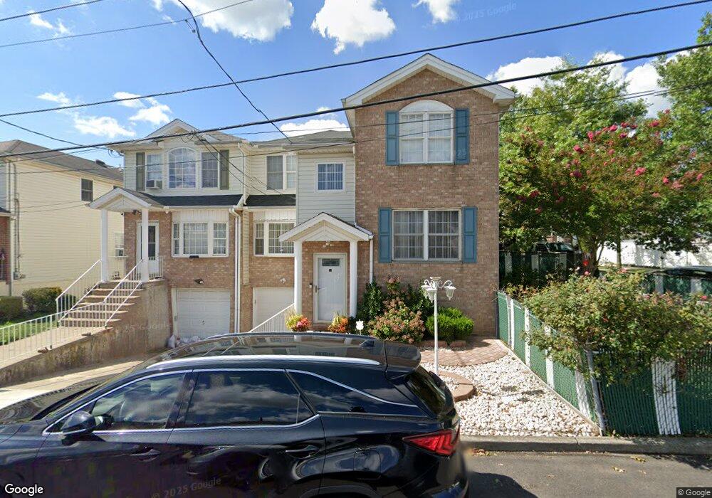
50 Railroad Ave Staten Island, NY 10305
South Beach NeighborhoodEstimated Value: $871,239 - $1,011,000
--
Bed
4
Baths
2,504
Sq Ft
$378/Sq Ft
Est. Value
About This Home
This home is located at 50 Railroad Ave, Staten Island, NY 10305 and is currently estimated at $947,060, approximately $378 per square foot. 50 Railroad Ave is a home located in Richmond County with nearby schools including P.S. 39 The Francis J. Murphy Jr. School, I.S. 49 Berta A Dreyfus, and Curtis High School.
Ownership History
Date
Name
Owned For
Owner Type
Purchase Details
Closed on
Apr 18, 2000
Sold by
Greenway Drive Construction Corp
Bought by
Palmer Satish G and Palmer Eva
Current Estimated Value
Home Financials for this Owner
Home Financials are based on the most recent Mortgage that was taken out on this home.
Original Mortgage
$228,600
Outstanding Balance
$78,205
Interest Rate
8.21%
Estimated Equity
$868,855
Create a Home Valuation Report for This Property
The Home Valuation Report is an in-depth analysis detailing your home's value as well as a comparison with similar homes in the area
Home Values in the Area
Average Home Value in this Area
Purchase History
| Date | Buyer | Sale Price | Title Company |
|---|---|---|---|
| Palmer Satish G | $258,000 | Chicago Title Insurance Co |
Source: Public Records
Mortgage History
| Date | Status | Borrower | Loan Amount |
|---|---|---|---|
| Open | Palmer Satish G | $228,600 |
Source: Public Records
Tax History Compared to Growth
Tax History
| Year | Tax Paid | Tax Assessment Tax Assessment Total Assessment is a certain percentage of the fair market value that is determined by local assessors to be the total taxable value of land and additions on the property. | Land | Improvement |
|---|---|---|---|---|
| 2025 | $7,340 | $51,840 | $7,466 | $44,374 |
| 2024 | $7,352 | $49,680 | $7,791 | $41,889 |
| 2023 | $7,364 | $37,658 | $6,847 | $30,811 |
| 2022 | $6,805 | $53,700 | $10,200 | $43,500 |
| 2021 | $6,751 | $48,060 | $10,200 | $37,860 |
| 2020 | $6,397 | $44,940 | $10,200 | $34,740 |
| 2019 | $6,322 | $42,720 | $10,200 | $32,520 |
| 2018 | $6,100 | $31,382 | $7,822 | $23,560 |
| 2017 | $5,736 | $29,607 | $9,461 | $20,146 |
| 2016 | $5,274 | $27,932 | $9,045 | $18,887 |
| 2015 | $4,752 | $26,352 | $7,280 | $19,072 |
| 2014 | $4,752 | $26,352 | $6,185 | $20,167 |
Source: Public Records
Map
Nearby Homes
- 26 Conger St
- 146 Cedar Ave
- 71 Windom Ave
- 26 Guilford St
- 26 Robin Rd
- 21 Father Capodanno Blvd
- 19 Father Capodanno Blvd
- 10 Florida Ave
- 32 Linda Ave Unit 68
- 14 Ragazzi Ln
- 66 Seagate Ct
- 154 Sand Ln
- 147 Robin Rd
- 53 Piave Ave
- 142 Alex Cir
- 72 Sand Ln
- 29 Diaz St
- 41 Olympia Blvd
- 44 Olympia Blvd
- 46 Olympia Blvd
- 52 Railroad Ave
- 54 Railroad Ave
- 56 Railroad Ave
- 39 Conger St
- 2 Windom Ave
- 58 Railroad Ave
- 94 Cedar Ave
- 37 Conger St
- 6 Windom Ave Unit LOT 28,33
- 60 Railroad Ave
- 65 Railroad Ave
- 93 Cedar Ave
- 35 Conger St
- 67 Railroad Ave
- 64 Railroad Ave
- 100 Cedar Ave
- 69 Railroad Ave
- 33 Conger St
- 71 Railroad Ave
- 16 Cedar Ave