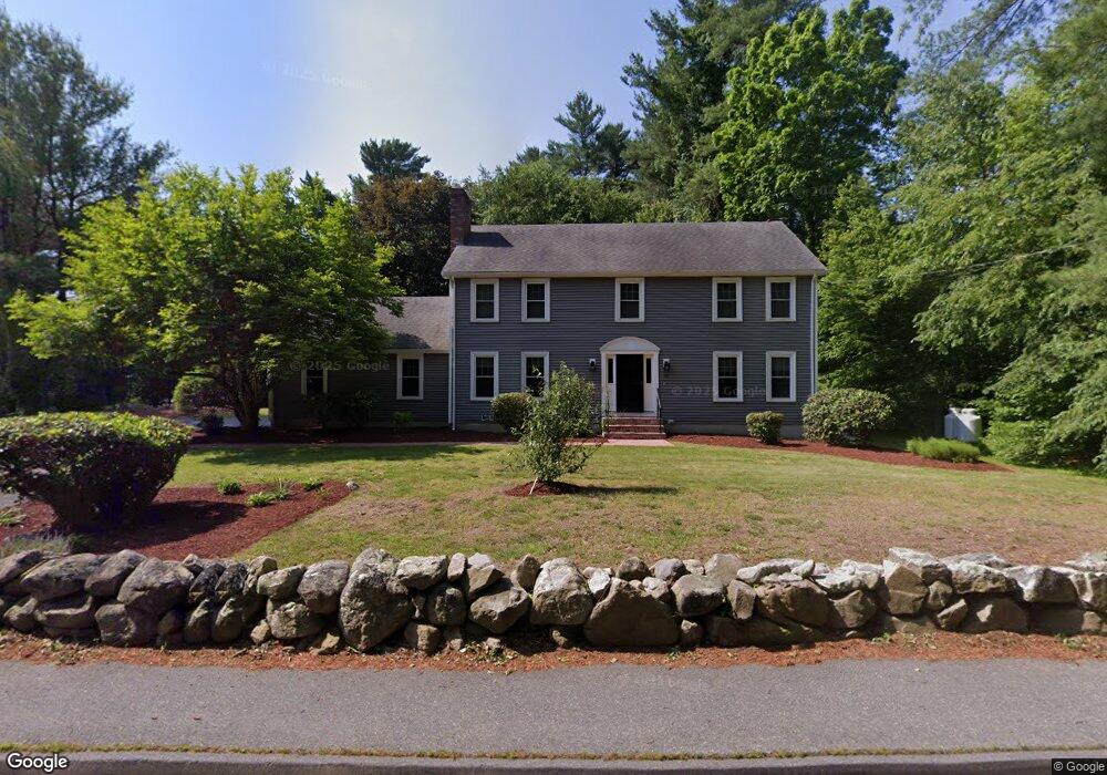
50 Randall St North Easton, MA 02356
Estimated Value: $876,000 - $951,000
4
Beds
3
Baths
2,370
Sq Ft
$385/Sq Ft
Est. Value
About This Home
This home is located at 50 Randall St, North Easton, MA 02356 and is currently estimated at $911,833, approximately $384 per square foot. 50 Randall St is a home located in Bristol County with nearby schools including Easton Middle School.
Ownership History
Date
Name
Owned For
Owner Type
Purchase Details
Closed on
May 26, 2000
Sold by
Pircio Lisa and Pircio Christopher
Bought by
Buckley Albert P and Buckley Marjorie S
Current Estimated Value
Purchase Details
Closed on
Mar 6, 1998
Sold by
Goldberg Alan S and Goldberg Lynne R
Bought by
Robinson Lisa and Pircio Christopher
Purchase Details
Closed on
Jan 31, 1992
Sold by
Dale Jon G
Bought by
Goldberg Alan S and Goldberg Lynne
Create a Home Valuation Report for This Property
The Home Valuation Report is an in-depth analysis detailing your home's value as well as a comparison with similar homes in the area
Home Values in the Area
Average Home Value in this Area
Purchase History
| Date | Buyer | Sale Price | Title Company |
|---|---|---|---|
| Buckley Albert P | $389,900 | -- | |
| Buckley Albert P | $389,900 | -- | |
| Robinson Lisa | $313,000 | -- | |
| Robinson Lisa | $313,000 | -- | |
| Goldberg Alan S | $275,000 | -- | |
| Goldberg Alan S | $275,000 | -- |
Source: Public Records
Mortgage History
| Date | Status | Borrower | Loan Amount |
|---|---|---|---|
| Open | Goldberg Alan S | $350,000 | |
| Closed | Goldberg Alan S | $100,000 |
Source: Public Records
Tax History Compared to Growth
Tax History
| Year | Tax Paid | Tax Assessment Tax Assessment Total Assessment is a certain percentage of the fair market value that is determined by local assessors to be the total taxable value of land and additions on the property. | Land | Improvement |
|---|---|---|---|---|
| 2025 | $9,821 | $786,900 | $365,200 | $421,700 |
| 2024 | $9,890 | $740,800 | $329,600 | $411,200 |
| 2023 | $10,023 | $687,000 | $329,600 | $357,400 |
| 2022 | $9,511 | $618,000 | $273,900 | $344,100 |
| 2021 | $9,319 | $602,000 | $257,900 | $344,100 |
| 2020 | $8,953 | $582,100 | $248,000 | $334,100 |
| 2019 | $9,096 | $569,900 | $248,000 | $321,900 |
| 2018 | $8,907 | $549,500 | $248,000 | $301,500 |
| 2017 | $8,582 | $529,100 | $248,000 | $281,100 |
| 2016 | $8,346 | $515,500 | $248,000 | $267,500 |
| 2015 | $7,945 | $473,500 | $206,000 | $267,500 |
| 2014 | $7,727 | $464,100 | $200,000 | $264,100 |
Source: Public Records
Map
Nearby Homes
- 45 Randall St
- 15 Randall Farm Dr
- 79 Summer St
- 37 Kingsley Rd
- 73 Summer St
- 6 Kingsley Rd
- 9 Oak Ridge Dr
- 32 Spooner St
- 221 Center St
- 18 Prudence Crandall Ln Unit 18
- 1 Whittier Ln Unit 1
- 67 Center St
- 16 Goodspeed Ln Unit Lot 4
- 56 Williams St
- 11 Olde Stable Ln
- 366 Center St
- 8 Hobart Way
- 1 Newell Cir
- 225 Main St
- 224 Main St
- 54 Randall St
- Lot 2 Alderwood Dr
- Lot 1 Alderwood Dr
- 5 Alderwood Dr
- 6 Alderwood Dr
- 42 Randall St
- 4 Alderwood Dr
- 49 Randall St
- 6 Randall Farm Dr
- 45-NC Randall St
- 10 Randall Farm Dr
- 45 Randall St
- 45 Randall St
- 10 Alderwood Dr
- 14 Randall Farm Dr
- 41 Randall St
- 67 Randall St
- 1 Randall Farm Dr
- 38 Randall St
- 38 Randall St