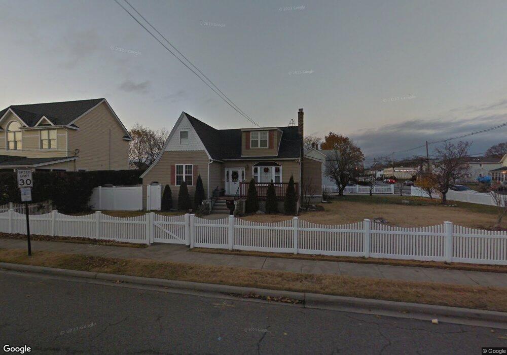
50 Ray St Freeport, NY 11520
Estimated Value: $741,553 - $762,000
4
Beds
2
Baths
2,200
Sq Ft
$342/Sq Ft
Est. Value
About This Home
This home is located at 50 Ray St, Freeport, NY 11520 and is currently estimated at $751,777, approximately $341 per square foot. 50 Ray St is a home located in Nassau County with nearby schools including Columbus Avenue School, Caroline G. Atkinson Intermediate School, and John W Dodd Middle School.
Ownership History
Date
Name
Owned For
Owner Type
Purchase Details
Closed on
Jul 27, 2017
Sold by
Hattakitkosol Watcharee and Escalera Watcharee
Bought by
David Shawn and Singh Keshni K
Current Estimated Value
Home Financials for this Owner
Home Financials are based on the most recent Mortgage that was taken out on this home.
Original Mortgage
$412,392
Outstanding Balance
$348,509
Interest Rate
4.62%
Mortgage Type
FHA
Estimated Equity
$403,268
Purchase Details
Closed on
Dec 30, 1998
Sold by
Shan Siu Ping
Bought by
Hattakitkosol Watcharee
Create a Home Valuation Report for This Property
The Home Valuation Report is an in-depth analysis detailing your home's value as well as a comparison with similar homes in the area
Home Values in the Area
Average Home Value in this Area
Purchase History
| Date | Buyer | Sale Price | Title Company |
|---|---|---|---|
| David Shawn | $420,000 | New Millennium Abstract Inc | |
| David Shawn | $420,000 | New Millennium Abstract Inc | |
| David Shawn | $420,000 | New Millennium Abstract Inc | |
| Hattakitkosol Watcharee | $140,000 | -- | |
| Hattakitkosol Watcharee | $140,000 | -- |
Source: Public Records
Mortgage History
| Date | Status | Borrower | Loan Amount |
|---|---|---|---|
| Open | David Shawn | $412,392 | |
| Closed | David Shawn | $412,392 |
Source: Public Records
Tax History
| Year | Tax Paid | Tax Assessment Tax Assessment Total Assessment is a certain percentage of the fair market value that is determined by local assessors to be the total taxable value of land and additions on the property. | Land | Improvement |
|---|---|---|---|---|
| 2025 | $7,556 | $392 | $213 | $179 |
| 2024 | $880 | $396 | $215 | $181 |
Source: Public Records
Map
Nearby Homes
- 51 Atlantic Ave
- 130 Gordon Place
- 121 Garfield St
- 251 Arthur St
- 21 Stillwell Place
- 308 Bedell St
- 120 Sportsmans Ave
- 177 Sportsmans Ave
- 176 Gordon Place
- 159 Southside Ave
- 208 Sportsmans Ave
- 96 East Ave
- 16 Sportsmans Ave
- 5 Sportsmans Ave
- 280 Guy Lombardo Ave Unit 2H
- 280 Guy Lombardo Ave Unit 3D
- 54 W 2nd St
- 175 Archer St Unit 1C
- 175 Archer St Unit 3A
- 61 East Ave
Your Personal Tour Guide
Ask me questions while you tour the home.