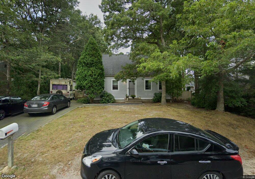
50 Rhine Rd Yarmouth Port, MA 02675
Yarmouth Port NeighborhoodEstimated Value: $469,000 - $571,000
3
Beds
2
Baths
1,001
Sq Ft
$540/Sq Ft
Est. Value
About This Home
This home is located at 50 Rhine Rd, Yarmouth Port, MA 02675 and is currently estimated at $540,542, approximately $540 per square foot. 50 Rhine Rd is a home located in Barnstable County with nearby schools including Dennis-Yarmouth Regional High School and St. Pius X. School.
Ownership History
Date
Name
Owned For
Owner Type
Purchase Details
Closed on
Mar 27, 1998
Sold by
Gemeinhardt John P
Bought by
Davis Todd W and Davis Michelle L
Current Estimated Value
Home Financials for this Owner
Home Financials are based on the most recent Mortgage that was taken out on this home.
Original Mortgage
$117,500
Interest Rate
6.96%
Mortgage Type
Purchase Money Mortgage
Purchase Details
Closed on
Dec 19, 1997
Sold by
Lizotte Julie A
Bought by
Gemeinhardt John P
Purchase Details
Closed on
Oct 19, 1990
Sold by
Dacey William E
Bought by
Heller Julie A
Home Financials for this Owner
Home Financials are based on the most recent Mortgage that was taken out on this home.
Original Mortgage
$90,100
Interest Rate
10.14%
Mortgage Type
Purchase Money Mortgage
Create a Home Valuation Report for This Property
The Home Valuation Report is an in-depth analysis detailing your home's value as well as a comparison with similar homes in the area
Home Values in the Area
Average Home Value in this Area
Purchase History
| Date | Buyer | Sale Price | Title Company |
|---|---|---|---|
| Davis Todd W | $117,500 | -- | |
| Gemeinhardt John P | $94,900 | -- | |
| Heller Julie A | $94,900 | -- |
Source: Public Records
Mortgage History
| Date | Status | Borrower | Loan Amount |
|---|---|---|---|
| Open | Heller Julie A | $136,000 | |
| Closed | Heller Julie A | $135,000 | |
| Closed | Heller Julie A | $117,500 | |
| Previous Owner | Heller Julie A | $90,100 |
Source: Public Records
Tax History Compared to Growth
Tax History
| Year | Tax Paid | Tax Assessment Tax Assessment Total Assessment is a certain percentage of the fair market value that is determined by local assessors to be the total taxable value of land and additions on the property. | Land | Improvement |
|---|---|---|---|---|
| 2025 | $3,202 | $452,200 | $142,700 | $309,500 |
| 2024 | $3,159 | $428,000 | $150,400 | $277,600 |
| 2023 | $3,141 | $387,300 | $134,000 | $253,300 |
| 2022 | $2,860 | $311,600 | $120,600 | $191,000 |
| 2021 | $2,824 | $295,400 | $120,600 | $174,800 |
| 2020 | $2,741 | $274,100 | $120,500 | $153,600 |
| 2019 | $2,580 | $255,400 | $120,500 | $134,900 |
| 2018 | $2,399 | $233,100 | $98,200 | $134,900 |
| 2017 | $2,336 | $233,100 | $98,200 | $134,900 |
| 2016 | $2,238 | $224,200 | $89,300 | $134,900 |
| 2015 | $2,207 | $219,800 | $89,300 | $130,500 |
Source: Public Records
Map
Nearby Homes
- 16 Warren Rd Unit 16
- 16 Warren Rd
- 32 Deveau Ln
- 8 Rowley Ln
- 40 Deveau Ln
- 209 Union St
- 0 Forsyth Ave
- 68 Seminole Dr
- 14 Many Oaks Cir
- 30 Quartermaster Row
- 33 Sparrow Way
- 72 Quartermaster Row
- 176 Beacon St
- 17 Trowbridge Path
- 76 Captain Chase Rd
- 882 W Yarmouth Rd
- 50 Cottonwood St
- 1 Hamblin Hill
- 105 Webbers Path
- 49 Captain Besse Rd