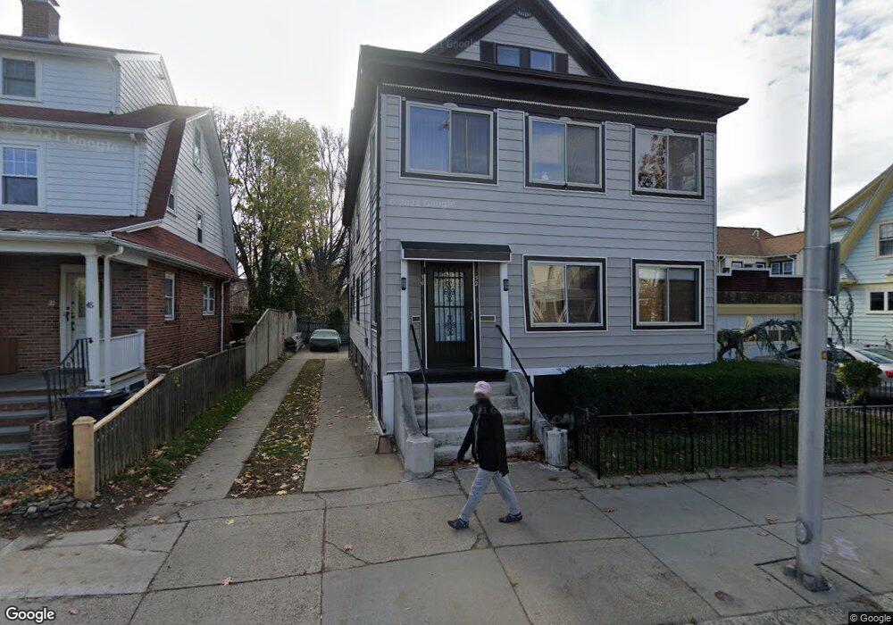
50 Rindge Ave Unit 52 Cambridge, MA 02140
North Cambridge NeighborhoodEstimated Value: $1,399,000 - $1,817,000
5
Beds
4
Baths
2,835
Sq Ft
$568/Sq Ft
Est. Value
About This Home
This home is located at 50 Rindge Ave Unit 52, Cambridge, MA 02140 and is currently estimated at $1,609,667, approximately $567 per square foot. 50 Rindge Ave Unit 52 is a home located in Middlesex County with nearby schools including Benjamin Banneker Charter Public School, Cambridge Friends School, and Cambridge Montessori School.
Ownership History
Date
Name
Owned For
Owner Type
Purchase Details
Closed on
Oct 1, 1992
Sold by
Kelley James P and Kelley Carol A
Bought by
Flynn John and Flynn Jean L
Current Estimated Value
Home Financials for this Owner
Home Financials are based on the most recent Mortgage that was taken out on this home.
Original Mortgage
$236,271
Interest Rate
7.83%
Mortgage Type
Purchase Money Mortgage
Create a Home Valuation Report for This Property
The Home Valuation Report is an in-depth analysis detailing your home's value as well as a comparison with similar homes in the area
Home Values in the Area
Average Home Value in this Area
Purchase History
| Date | Buyer | Sale Price | Title Company |
|---|---|---|---|
| Flynn John | $255,000 | -- |
Source: Public Records
Mortgage History
| Date | Status | Borrower | Loan Amount |
|---|---|---|---|
| Closed | Flynn John | $236,271 |
Source: Public Records
Tax History Compared to Growth
Tax History
| Year | Tax Paid | Tax Assessment Tax Assessment Total Assessment is a certain percentage of the fair market value that is determined by local assessors to be the total taxable value of land and additions on the property. | Land | Improvement |
|---|---|---|---|---|
| 2025 | $7,926 | $1,248,200 | $414,500 | $833,700 |
| 2024 | $7,310 | $1,234,800 | $431,800 | $803,000 |
| 2023 | $6,818 | $1,163,500 | $440,400 | $723,100 |
| 2022 | $6,417 | $1,084,000 | $430,300 | $653,700 |
| 2021 | $6,207 | $1,061,100 | $431,700 | $629,400 |
| 2020 | $5,913 | $1,028,400 | $419,000 | $609,400 |
| 2019 | $5,631 | $948,000 | $374,000 | $574,000 |
| 2018 | $3,069 | $815,600 | $315,000 | $500,600 |
| 2017 | $5,165 | $795,800 | $295,300 | $500,500 |
| 2016 | $5,015 | $717,500 | $255,900 | $461,600 |
| 2015 | $4,901 | $626,700 | $224,900 | $401,800 |
| 2014 | $4,735 | $565,000 | $196,800 | $368,200 |
Source: Public Records
Map
Nearby Homes
- 12 Rindge Ave Unit 1
- 8 Cogswell Ave
- 70 Walden St Unit 1
- 70 Walden St Unit 7
- 70 Walden St Unit 11
- 34 Day St
- 179 Rindge Ave Unit 1
- 183 Rindge Ave Unit 1
- 61 Bolton St Unit 304
- 7 Beech St Unit 319
- 7 Beech St Unit 211
- 24 Cambridge Terrace Unit 2
- 30 Dudley St
- 1963 Massachusetts Ave Unit 404
- 17 Shea Rd
- 147 Sherman St Unit 201
- 1 Richdale Ave Unit 2
- 18 Windom St
- 20 Beech St
- 22 Harrington Rd
- 48 Rindge Ave
- 48 Rindge Ave Unit 1
- 42 Haskell St
- 60 Rindge Ave Unit 62
- 40 Haskell St
- 40 Haskell St Unit 40
- 42 Rindge Ave Unit 44
- 42 Rindge Ave Unit A
- 42 Rindge Ave Unit 2B
- 42 Rindge Ave Unit 1
- 42 Rindge Ave Unit C
- 42-44 Rindge Ave Unit C
- 42 Rindge Ave
- 44 Haskell St
- 12 Fairfield St
- 12 Fairfield St Unit 2R
- 12 Fairfield St Unit 1L
- 10 Fairfield St
- 38 Rindge Ave
- 48 Haskell St