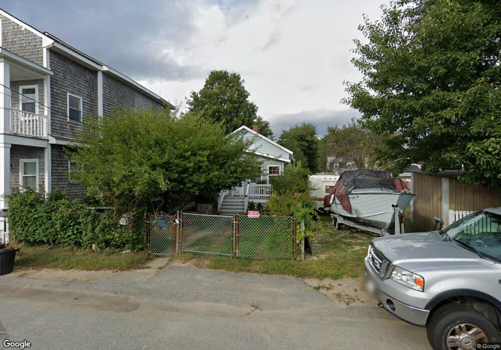
50 Ripley St Somerset, MA 02725
Brayton Point NeighborhoodEstimated Value: $368,000 - $418,000
3
Beds
1
Bath
996
Sq Ft
$384/Sq Ft
Est. Value
About This Home
This home is located at 50 Ripley St, Somerset, MA 02725 and is currently estimated at $382,699, approximately $384 per square foot. 50 Ripley St is a home located in Bristol County with nearby schools including South Elementary School, Somerset Middle School, and Swansea Wood School.
Ownership History
Date
Name
Owned For
Owner Type
Purchase Details
Closed on
Nov 3, 1988
Sold by
Marsden Marie J
Bought by
Kimberly M Smith
Current Estimated Value
Home Financials for this Owner
Home Financials are based on the most recent Mortgage that was taken out on this home.
Original Mortgage
$68,000
Interest Rate
10.33%
Mortgage Type
Purchase Money Mortgage
Create a Home Valuation Report for This Property
The Home Valuation Report is an in-depth analysis detailing your home's value as well as a comparison with similar homes in the area
Home Values in the Area
Average Home Value in this Area
Purchase History
| Date | Buyer | Sale Price | Title Company |
|---|---|---|---|
| Kimberly M Smith | $85,000 | -- |
Source: Public Records
Mortgage History
| Date | Status | Borrower | Loan Amount |
|---|---|---|---|
| Open | Kimberly M Smith | $39,500 | |
| Closed | Kimberly M Smith | $68,000 |
Source: Public Records
Tax History Compared to Growth
Tax History
| Year | Tax Paid | Tax Assessment Tax Assessment Total Assessment is a certain percentage of the fair market value that is determined by local assessors to be the total taxable value of land and additions on the property. | Land | Improvement |
|---|---|---|---|---|
| 2025 | $4,471 | $336,200 | $172,900 | $163,300 |
| 2024 | $4,219 | $329,900 | $172,900 | $157,000 |
| 2023 | $3,753 | $296,000 | $143,000 | $153,000 |
| 2022 | $3,446 | $259,300 | $122,600 | $136,700 |
| 2021 | $3,460 | $235,700 | $110,200 | $125,500 |
| 2020 | $3,315 | $217,800 | $111,000 | $106,800 |
| 2019 | $3,794 | $207,900 | $111,000 | $96,900 |
| 2018 | $3,195 | $188,400 | $97,700 | $90,700 |
| 2017 | $3,200 | $183,900 | $97,700 | $86,200 |
| 2016 | $3,220 | $183,900 | $97,700 | $86,200 |
| 2015 | $3,321 | $191,400 | $113,300 | $78,100 |
| 2014 | $4,499 | $186,300 | $113,300 | $73,000 |
Source: Public Records
Map
Nearby Homes
- 462 Harbor View Blvd
- 132 Jackson Ave
- 700 Shore Dr Unit 6-604
- 700 Shore Dr Unit 1205
- 700 Shore Dr Unit 1106
- 167 Mercier Ave
- 130 Broadway
- 143 Fountain St
- 159 Wilder St
- 315 William St
- 327 William St
- 31 Barker St
- 404 Bradford Ave
- 403 Division St Unit 14
- 403 Division St Unit 13
- 403 Division St Unit 5
- 403 Division St Unit 9
- 403 Division St Unit 8
- 403 Division St Unit 11
- 403 Division St Unit 17