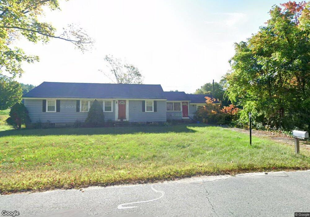
50 River St Dunstable, MA 01827
Estimated Value: $887,000 - $1,351,000
3
Beds
2
Baths
1,058
Sq Ft
$1,079/Sq Ft
Est. Value
About This Home
This home is located at 50 River St, Dunstable, MA 01827 and is currently estimated at $1,141,791, approximately $1,079 per square foot. 50 River St is a home located in Middlesex County with nearby schools including Groton Dunstable Regional High School and 2nd Nature Academy.
Create a Home Valuation Report for This Property
The Home Valuation Report is an in-depth analysis detailing your home's value as well as a comparison with similar homes in the area
Home Values in the Area
Average Home Value in this Area
Tax History
| Year | Tax Paid | Tax Assessment Tax Assessment Total Assessment is a certain percentage of the fair market value that is determined by local assessors to be the total taxable value of land and additions on the property. | Land | Improvement |
|---|---|---|---|---|
| 2025 | $5,926 | $431,004 | $252,904 | $178,100 |
| 2024 | $5,588 | $400,288 | $230,588 | $169,700 |
| 2023 | $5,831 | $389,520 | $230,220 | $159,300 |
| 2022 | $5,735 | $376,084 | $229,584 | $146,500 |
| 2021 | $11,298 | $321,768 | $208,768 | $113,000 |
| 2020 | $539 | $314,468 | $208,768 | $105,700 |
| 2019 | $5,183 | $303,788 | $207,888 | $95,900 |
| 2018 | $3,949 | $291,032 | $204,632 | $86,400 |
| 2017 | $4,906 | $288,248 | $204,948 | $83,300 |
| 2016 | $4,605 | $278,248 | $194,948 | $83,300 |
| 2015 | $4,138 | $247,328 | $167,428 | $79,900 |
| 2014 | $3,901 | $247,364 | $167,464 | $79,900 |
Source: Public Records
Map
Nearby Homes
- 147 Nashua Rd
- 6 Testament Cir Unit 5
- 24 Unkety Brook Way
- 77 Birchwood Dr
- 1 Pats Way
- 21 Shawn Ave
- 8 Casie Ln
- 1 Ladd Ln
- 4 Southgate Rd
- 9-48-8 Ladd Ln
- 194 Dow Rd
- 1 Dalkeith Rd
- 12 Pioneer Dr
- 38 Tarbell St Unit 5B
- 38 Tarbell St Unit 1D
- 29 Tarbell St
- 105 Rideout Rd
- 62 Brook St
- 28-30 Groton St
- 10 Houston Dr
Your Personal Tour Guide
Ask me questions while you tour the home.