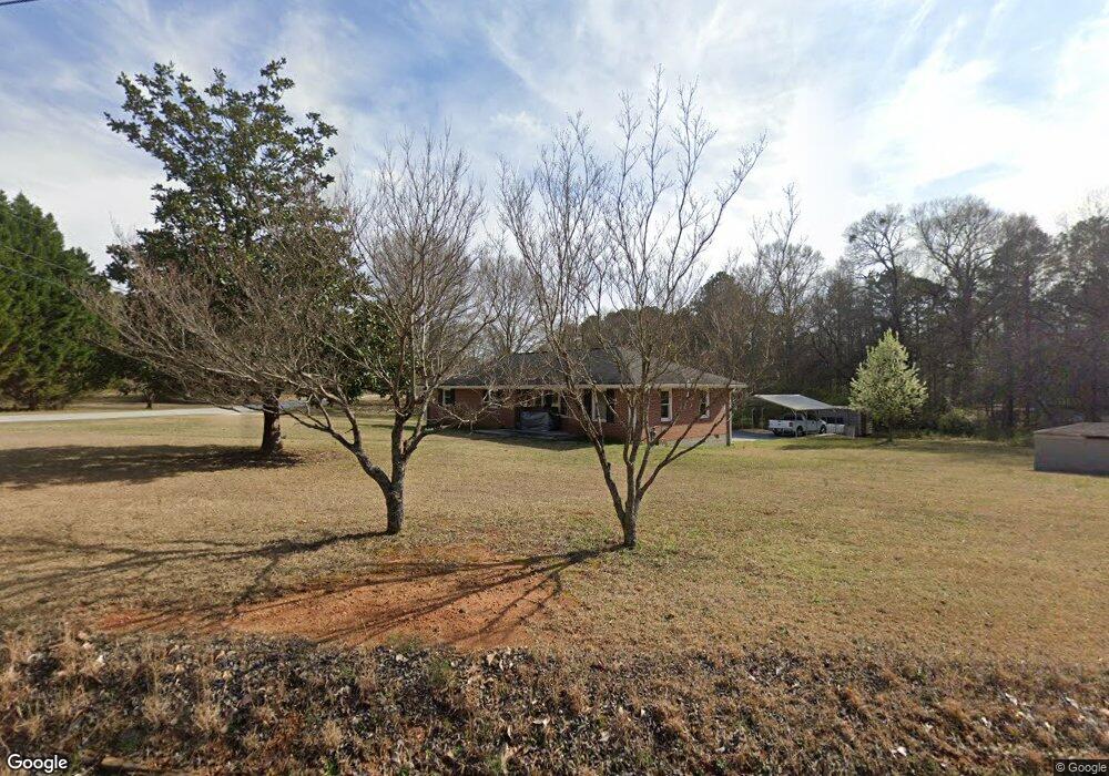
50 Robin Rd Covington, GA 30016
Estimated Value: $147,000 - $236,000
Studio
1
Bath
1,348
Sq Ft
$140/Sq Ft
Est. Value
About This Home
This home is located at 50 Robin Rd, Covington, GA 30016 and is currently estimated at $189,375, approximately $140 per square foot. 50 Robin Rd is a home located in Newton County with nearby schools including Oak Hill Elementary School, Veterans Memorial Middle School, and Alcovy High School.
Ownership History
Date
Name
Owned For
Owner Type
Purchase Details
Closed on
Feb 11, 2020
Sold by
Butler Henry D Estate
Bought by
Ingram William E
Current Estimated Value
Home Financials for this Owner
Home Financials are based on the most recent Mortgage that was taken out on this home.
Original Mortgage
$60,000
Outstanding Balance
$40,413
Interest Rate
3.6%
Mortgage Type
New Conventional
Estimated Equity
$148,962
Create a Home Valuation Report for This Property
The Home Valuation Report is an in-depth analysis detailing your home's value as well as a comparison with similar homes in the area
Home Values in the Area
Average Home Value in this Area
Purchase History
| Date | Buyer | Sale Price | Title Company |
|---|---|---|---|
| Ingram William E | $75,000 | -- |
Source: Public Records
Mortgage History
| Date | Status | Borrower | Loan Amount |
|---|---|---|---|
| Open | Ingram William E | $60,000 |
Source: Public Records
Tax History
| Year | Tax Paid | Tax Assessment Tax Assessment Total Assessment is a certain percentage of the fair market value that is determined by local assessors to be the total taxable value of land and additions on the property. | Land | Improvement |
|---|---|---|---|---|
| 2025 | $1,895 | $76,160 | $14,000 | $62,160 |
| 2024 | $1,918 | $75,720 | $19,200 | $56,520 |
| 2023 | $1,560 | $57,480 | $5,600 | $51,880 |
| 2022 | $1,192 | $43,920 | $5,600 | $38,320 |
| 2021 | $1,120 | $36,920 | $5,600 | $31,320 |
| 2020 | $1,031 | $30,680 | $4,800 | $25,880 |
| 2019 | $61 | $31,000 | $4,800 | $26,200 |
| 2018 | $10 | $22,840 | $4,800 | $18,040 |
| 2017 | $20 | $22,080 | $4,800 | $17,280 |
| 2016 | $20 | $22,080 | $4,800 | $17,280 |
| 2015 | $19 | $22,120 | $4,800 | $17,320 |
| 2014 | $18 | $22,120 | $0 | $0 |
Source: Public Records
Map
Nearby Homes
- 2215 Oak Hill Rd
- 125 Cardinal Ct Unit 1
- 35 Fourwood Dr
- 5737 Highway 20 S
- 5240 Highway 20 S
- 1925 Oak Hill Rd
- 0 Goldfinch Dr
- 0 Goldfinch Dr Unit 7564125
- 20 W Forest Dr
- 130 Goldfinch Dr
- 125 Goldfinch Dr
- 170 Gibson Way
- 14908 Brown Bridge Rd
- 6023 Highway 20 S
- 120 Wintergreen Ct
- 110 Chapel Heights Way
- 50 Butler Bridge Cir
- 5214 Parkside Dr SE
- 339 Buckingham Dr SW
- 2020 Bailey Creek Rd
- 80 Robin Rd
- 2230 Oak Hill Rd
- 100 Robin Rd
- 150 Wren Rd
- 150 Robin Rd
- 2183 Oak Hill Rd
- 2190 Oak Hill Rd
- 2300 Oak Hill Rd
- 125 Robin Rd
- 2325 Oak Hill Rd
- 200 Robin Rd
- 2320 Oak Hill Rd
- 225 Robin Rd
- 6671 Highway 212
- 2290 Oak Hill Rd
- 2139 Oak Hill Rd
- 6773 Highway 212
- 6791 Highway 212
- 6795 Highway 212
- 200 Wren Rd
Your Personal Tour Guide
Ask me questions while you tour the home.